Estimated Value: $1,029,000 - $1,394,719
3
Beds
3
Baths
4,256
Sq Ft
$285/Sq Ft
Est. Value
About This Home
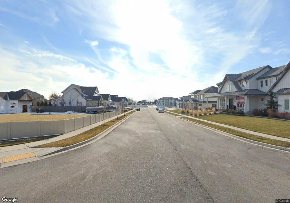
This home is located at 1167 N 1490 E Unit 404, Lehi, UT 84043 and is currently estimated at $1,211,180, approximately $284 per square foot. 1167 N 1490 E Unit 404 is a home located in Utah County with nearby schools including Freedom Elementary School, Lehi Junior High School, and Skyridge High School.
Ownership History
Date
Name
Owned For
Owner Type
Purchase Details
Closed on
Feb 27, 2015
Sold by
Arive Homes Llc
Bought by
Cunningham Steven and Cunningham Carlie
Current Estimated Value
Home Financials for this Owner
Home Financials are based on the most recent Mortgage that was taken out on this home.
Original Mortgage
$304,392
Outstanding Balance
$232,443
Interest Rate
3.6%
Mortgage Type
New Conventional
Estimated Equity
$978,737
Purchase Details
Closed on
Oct 20, 2014
Sold by
Dr 76 Inc
Bought by
Behunin Kelly O and Behunin Lindsay
Home Financials for this Owner
Home Financials are based on the most recent Mortgage that was taken out on this home.
Original Mortgage
$135,900
Interest Rate
4.2%
Mortgage Type
New Conventional
Create a Home Valuation Report for This Property
The Home Valuation Report is an in-depth analysis detailing your home's value as well as a comparison with similar homes in the area
Home Values in the Area
Average Home Value in this Area
Purchase History
We collect this data history from publicly available records. To have your information removed, we recommend requesting removal directly through your county’s website.
| Date | Buyer | Sale Price | Title Company |
|---|---|---|---|
| Cunningham Steven | -- | Provo Land Title Co | |
| Behunin Kelly O | -- | Eagle Pointe Title Insurance |
Source: Public Records
Mortgage History
We collect this data history from publicly available records. To have your information removed, we recommend requesting removal directly through your county’s website.
| Date | Status | Borrower | Loan Amount |
|---|---|---|---|
| Open | Cunningham Steven | $304,392 | |
| Previous Owner | Behunin Kelly O | $135,900 |
Source: Public Records
Tax History
| Year | Tax Paid | Tax Assessment Tax Assessment Total Assessment is a certain percentage of the fair market value that is determined by local assessors to be the total taxable value of land and additions on the property. | Land | Improvement |
|---|---|---|---|---|
| 2025 | $4,641 | $623,700 | -- | -- |
| 2024 | $4,641 | $543,125 | $0 | $0 |
| 2023 | $4,125 | $524,205 | $0 | $0 |
| 2022 | $3,905 | $481,030 | $0 | $0 |
| 2021 | $3,455 | $643,500 | $227,800 | $415,700 |
| 2020 | $3,256 | $599,400 | $210,900 | $388,500 |
| 2019 | $3,132 | $599,400 | $210,900 | $388,500 |
| 2018 | $2,969 | $537,200 | $199,400 | $337,800 |
| 2017 | $2,792 | $268,510 | $0 | $0 |
| 2016 | $2,158 | $192,610 | $0 | $0 |
| 2015 | $1,543 | $130,700 | $0 | $0 |
Source: Public Records
Map
Nearby Homes
- 893 N 1580 E
- 1433 N 1250 E
- 1272 N Cedar Hollow Blvd
- 6884 W 9530 N
- 1175 E 900 N
- 9435 N Aspen Hollow Cir
- 1785 E 900 N
- 556 N 1440 E
- 3959 W 1000 N Unit 440
- 3995 W 1000 N Unit 443
- 965 N 860 W
- 890 N Whipple Dr
- 673 W 1040 N
- 524 N 900 E
- 1396 E 380 N
- 764 W 880 North St Unit 308
- 952 N 680 W
- 822 N 860 W Unit 317
- 6692 W 9770 N
- 418 N 1100 E Unit 1
- 1193 N 1490 E
- 1137 N 1490 E Unit 403
- 1137 N 1490 E Unit 3
- 1164 N 1490 E
- 1219 N 1490 E
- 1192 N 1490 E
- 1109 N 1490 E Unit 2
- 1109 N 1490 E Unit 402
- 1136 N 1490 E
- 1161 N 1540 E
- 7068 W 9200 N
- 1135 N 1540 E
- 1083 N 1490 E Unit 414
- 1083 N 1490 E
- 1082 N 1490 E
- 1111 N 1540 E
- 1238 N 1490 E
- 1202 N 1300 E
- 1184 N 1300 E
- 1164 N 1300 E
Your Personal Tour Guide
Ask me questions while you tour the home.