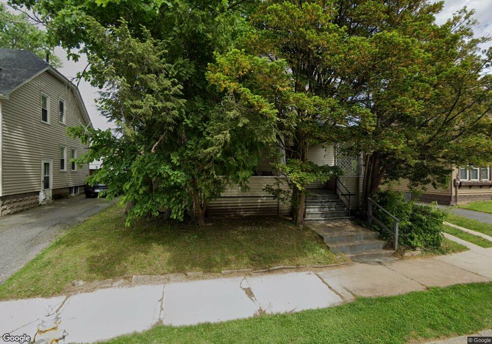
117 Bristol St Springfield, MA 01109
Upper Hill NeighborhoodEstimated Value: $244,705 - $273,000
About This Home
This home is located at 117 Bristol St, Springfield, MA 01109 and is currently estimated at $257,926, approximately $185 per square foot. 117 Bristol St is a home located in Hampden County with nearby schools including Daniel B Brunton, John J Duggan Middle, and Springfield High School of Science and Technology.
Ownership History
We collect this data history from publicly available records. To have your information removed, we recommend requesting removal directly through your county’s website.
Purchase Details
Home Values in the Area
Average Home Value in this Area
Purchase History
We collect this data history from publicly available records. To have your information removed, we recommend requesting removal directly through your county’s website.
| Date | Buyer | Sale Price | Title Company |
|---|---|---|---|
| $11,000 | -- |
Mortgage History
We collect this data history from publicly available records. To have your information removed, we recommend requesting removal directly through your county’s website.
| Date | Status | Borrower | Loan Amount |
|---|---|---|---|
| Closed | $5,500 |
Tax History
We collect this data history from publicly available records. To have your information removed, we recommend requesting removal directly through your county’s website.
| Year | Tax Paid | Tax Assessment Tax Assessment Total Assessment is a certain percentage of the fair market value that is determined by local assessors to be the total taxable value of land and additions on the property. | Land | Improvement |
|---|---|---|---|---|
| 2025 | $2,379 | $151,700 | $30,200 | $121,500 |
| 2024 | $2,317 | $144,300 | $30,200 | $114,100 |
| 2023 | $2,177 | $127,700 | $27,500 | $100,200 |
| 2022 | $2,168 | $115,200 | $25,700 | $89,500 |
| 2021 | $2,209 | $116,900 | $18,200 | $98,700 |
| 2020 | $1,945 | $99,600 | $18,200 | $81,400 |
| 2019 | $1,824 | $92,700 | $15,500 | $77,200 |
| 2018 | $1,728 | $87,800 | $15,500 | $72,300 |
| 2017 | $1,620 | $82,400 | $14,600 | $67,800 |
| 2016 | $1,476 | $75,100 | $14,600 | $60,500 |
| 2015 | $1,532 | $77,900 | $14,600 | $63,300 |
Map
- 106 Suffolk St
- 59-61 Carlisle St
- 119-121 Middlesex St
- 26 Byron St
- 881 Roosevelt Ave
- 746-748 Alden St
- 545-547 Wilbraham Rd
- 21 Westford Cir
- 115-117 Northampton Ave
- 620 Roosevelt Ave
- 105 Overlook Dr
- 36-38 Chapel St
- 49 Andrew St
- 136 Maynard St
- 199 Eastern Ave
- 62 Kenyon St
- 9 Woodcliff St
- 29 Rosella St
- 157 Lebanon St
- 658 Union St
- 104 Norfolk St
- 108 Norfolk St Unit 110
- 108-110 Norfolk St
- 98 Norfolk St Unit 100
- 98 Norfolk St Unit 98
- 114 Norfolk St
- 101-103 Bristol St
- 107-109 Bristol St
- 107 Bristol St Unit 109
- 101 Bristol St
- 97 Marlborough St
- 89 Marlborough St Unit 91
- 97 Bristol St
- 103 Bristol St
- 111 Bristol St
- 118 Norfolk St Unit 120
- 89-91 Marlborough St
- 113 Norfolk St
- 105 Marlborough St
- 103 Norfolk St
Ask me questions while you tour the home.