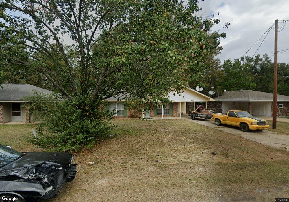
117 Donovan Cir Monroe, LA 71203
Estimated Value: $122,000 - $130,000
2
Beds
2
Baths
1,200
Sq Ft
$104/Sq Ft
Est. Value
About This Home
This home is located at 117 Donovan Cir, Monroe, LA 71203 and is currently estimated at $125,259, approximately $104 per square foot. 117 Donovan Cir is a home located in Ouachita Parish with nearby schools including Swartz Lower Elementary School, Swartz Upper Elementary School, and Ouachita Junior High School.
Ownership History
Date
Name
Owned For
Owner Type
Purchase Details
Closed on
May 31, 2017
Sold by
Iberiabank
Bought by
Counts Holdings Llc
Current Estimated Value
Purchase Details
Closed on
May 28, 2008
Sold by
Russell Roy Marshall
Bought by
Antley Robin Sapp
Home Financials for this Owner
Home Financials are based on the most recent Mortgage that was taken out on this home.
Original Mortgage
$51,498
Interest Rate
5.89%
Mortgage Type
Purchase Money Mortgage
Create a Home Valuation Report for This Property
The Home Valuation Report is an in-depth analysis detailing your home's value as well as a comparison with similar homes in the area
Purchase History
We collect this data history from publicly available records. To have your information removed, we recommend requesting removal directly through your county’s website.
| Date | Buyer | Sale Price | Title Company |
|---|---|---|---|
| Counts Holdings Llc | $54,000 | None Available | |
| Antley Robin Sapp | $65,000 | None Available |
Source: Public Records
Mortgage History
We collect this data history from publicly available records. To have your information removed, we recommend requesting removal directly through your county’s website.
| Date | Status | Borrower | Loan Amount |
|---|---|---|---|
| Previous Owner | Antley Robin Sapp | $51,498 |
Source: Public Records
Tax History
| Year | Tax Paid | Tax Assessment Tax Assessment Total Assessment is a certain percentage of the fair market value that is determined by local assessors to be the total taxable value of land and additions on the property. | Land | Improvement |
|---|---|---|---|---|
| 2025 | $1,593 | $11,408 | $1,050 | $10,358 |
| 2024 | $1,593 | $11,408 | $1,050 | $10,358 |
| 2023 | $1,605 | $9,558 | $1,050 | $8,508 |
| 2022 | $1,316 | $9,558 | $1,050 | $8,508 |
| 2021 | $1,148 | $8,320 | $1,050 | $7,270 |
| 2020 | $1,148 | $8,320 | $1,050 | $7,270 |
| 2019 | $1,132 | $8,320 | $1,050 | $7,270 |
| 2018 | $1,082 | $8,320 | $1,050 | $7,270 |
| 2017 | $866 | $6,500 | $1,040 | $5,460 |
| 2016 | $845 | $6,500 | $1,040 | $5,460 |
| 2015 | -- | $6,500 | $1,040 | $5,460 |
| 2014 | -- | $6,500 | $1,040 | $5,460 |
| 2013 | -- | $6,500 | $1,040 | $5,460 |
Source: Public Records
Map
Nearby Homes
- 204 W Nelson Rd
- 142 Jesse Ln
- 60 Nelson Rd
- 128 Daywood Dr
- 318 Monarch Dr
- 1077 Stubbs Vinson Rd
- 106 Vail Cir
- 2210 Highway 594
- 0 Stubbs Vinson Rd Unit 11689484
- 03 Stubbs Vinson Rd
- 2080 Stubbs Vinson Rd
- 02 Stubbs Vinson Rd
- 00 Stubbs Vinson Rd
- 04 Stubbs Vinson Rd
- 01 Stubbs Vinson Rd
- 338 Bower Rd
- 255 Ed Edelen Rd
- 158 Barbara Dr
- 364 Sonny Day Rd
- 0 Braebend Dr
- 115 Donovan Cir
- 201 Donovan Cir
- 205 Donovan Cir
- 207 Donovan Cir
- 120 Donovan Cir
- 122 Donovan Cir
- 128 Donovan Cir
- 112 Donovan Cir
- 110 Donovan Cir
- 118 Donovan Cir
- 124 Donovan Cir
- 202 Donovan Cir
- 114 Donovan Cir
- 209 Donovan Cir
- 204 Donovan Cir
- 108 Donovan Cir
- 116 Donovan Cir
- 126 Donovan Cir
- 106 Donovan Cir
- 206 Donovan Cir
Your Personal Tour Guide
Ask me questions while you tour the home.