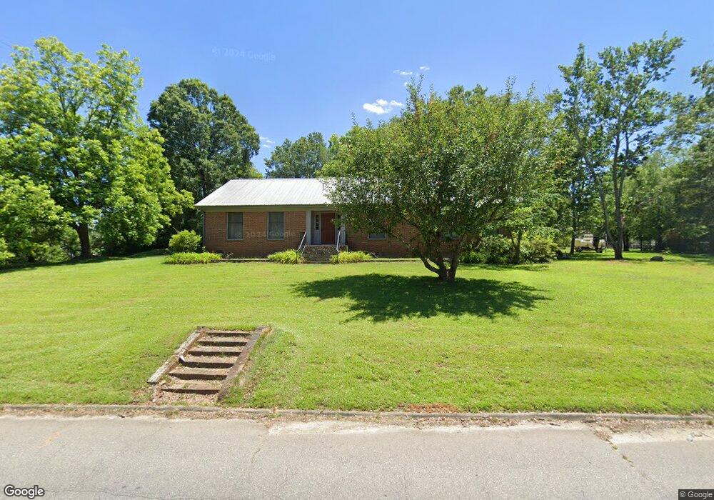
117 Midway Rd Rockingham, NC 28379
Estimated Value: $181,000 - $252,228
Studio
1
Bath
2,424
Sq Ft
$92/Sq Ft
Est. Value
About This Home
This home is located at 117 Midway Rd, Rockingham, NC 28379 and is currently estimated at $222,409, approximately $91 per square foot. 117 Midway Rd is a home with nearby schools including West Rockingham Elementary School, Rockingham Middle School, and Richmond Senior High School.
Ownership History
Date
Name
Owned For
Owner Type
Purchase Details
Closed on
Dec 14, 2016
Sold by
Lamm Deborah Coan and Lamm Billy Ray
Bought by
Scholl Coan Jr Roger Phifer and Scholl Coan Judith
Current Estimated Value
Purchase Details
Closed on
Jun 27, 2008
Sold by
Lamm Deborah Coan and Lamm Billy Ray
Bought by
Coan Roger P
Home Financials for this Owner
Home Financials are based on the most recent Mortgage that was taken out on this home.
Original Mortgage
$70,000
Outstanding Balance
$13,910
Interest Rate
5.97%
Mortgage Type
Credit Line Revolving
Estimated Equity
$208,499
Create a Home Valuation Report for This Property
The Home Valuation Report is an in-depth analysis detailing your home's value as well as a comparison with similar homes in the area
Purchase History
| Date | Buyer | Sale Price | Title Company |
|---|---|---|---|
| Scholl Coan Jr Roger Phifer | -- | None Available | |
| Coan Roger P | -- | -- |
Source: Public Records
Mortgage History
| Date | Status | Borrower | Loan Amount |
|---|---|---|---|
| Open | Coan Roger P | $70,000 |
Source: Public Records
Tax History
| Year | Tax Paid | Tax Assessment Tax Assessment Total Assessment is a certain percentage of the fair market value that is determined by local assessors to be the total taxable value of land and additions on the property. | Land | Improvement |
|---|---|---|---|---|
| 2025 | $1,424 | $153,645 | $60,800 | $92,845 |
| 2024 | $1,465 | $153,645 | $60,800 | $92,845 |
| 2023 | $1,170 | $100,754 | $30,400 | $70,354 |
| 2022 | $1,176 | $100,754 | $30,400 | $70,354 |
| 2021 | $1,179 | $100,754 | $30,400 | $70,354 |
| 2020 | $1,181 | $100,754 | $30,400 | $70,354 |
| 2019 | $1,188 | $100,754 | $30,400 | $70,354 |
| 2018 | $1,196 | $100,754 | $30,400 | $70,354 |
| 2016 | $883 | $66,300 | $6,346 | $59,954 |
| 2014 | -- | $92,886 | $6,520 | $86,366 |
Source: Public Records
Map
Nearby Homes
- TBD S Caroline St
- 526 S Caroline St
- 710 S Caroline St
- TBD Midway Rd
- 141 Church St
- 514 E Washington St
- 305 River Rd Unit 3
- 202 N Randolph St
- 114 Forrest St
- 714 Leak St
- 232 Aleo Seventh Ave
- Tbd Pickett St
- 416 N Randolph St
- 253 Farmstead Ct
- 440 Hood St
- 106 Pence St
- 906 Cypress St
- 83 2nd Avenue Pee Dee
- 107 &109 Edwards Cir
- 536 US Highway 1 S
- 435 S Caroline St
- 502 S Caroline St
- 429 S Caroline St
- 436 S Caroline St
- 420 Bryan St
- 425 S Caroline St
- 428 S Caroline St
- 423 Bryan St
- 505 S Hancock St
- 136 Midway Rd
- 517 S Hancock St
- 428 S Hancock St
- 421 S Caroline St
- 426 S Caroline St
- 416 Bryan St
- 140 Midway Rd
- 141 Midway Rd
- 415 Bryan St
- 519 S Hancock St
- 412 Bryan St
Your Personal Tour Guide
Ask me questions while you tour the home.