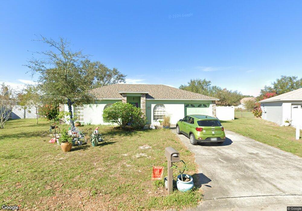
117 Mohawk Cir Auburndale, FL 33823
Estimated Value: $236,449 - $257,000
About This Home
This home is located at 117 Mohawk Cir, Auburndale, FL 33823 and is currently estimated at $250,362, approximately $169 per square foot. 117 Mohawk Cir is a home located in Polk County with nearby schools including Walter Caldwell Elementary School, Auburndale Senior High School, and Jewett School of the Arts.
Ownership History
We collect this data history from publicly available records. To have your information removed, we recommend requesting removal directly through your county’s website.
Purchase Details
Home Financials for this Owner
Home Financials are based on the most recent Mortgage that was taken out on this home.Purchase Details
Purchase Details
Home Financials for this Owner
Home Financials are based on the most recent Mortgage that was taken out on this home.Home Values in the Area
Average Home Value in this Area
Purchase History
We collect this data history from publicly available records. To have your information removed, we recommend requesting removal directly through your county’s website.
| Date | Buyer | Sale Price | Title Company |
|---|---|---|---|
| $105,000 | Hillsborough Title Inc | ||
| -- | None Available | ||
| $12,500 | -- |
Mortgage History
We collect this data history from publicly available records. To have your information removed, we recommend requesting removal directly through your county’s website.
| Date | Status | Borrower | Loan Amount |
|---|---|---|---|
| Open | $103,098 | ||
| Previous Owner | $65,500 | ||
| Previous Owner | $10,000 | ||
| Previous Owner | $67,000 |
Tax History
We collect this data history from publicly available records. To have your information removed, we recommend requesting removal directly through your county’s website.
| Year | Tax Paid | Tax Assessment Tax Assessment Total Assessment is a certain percentage of the fair market value that is determined by local assessors to be the total taxable value of land and additions on the property. | Land | Improvement |
|---|---|---|---|---|
| 2025 | $1,131 | $114,224 | -- | -- |
| 2024 | $1,091 | $111,005 | -- | -- |
| 2023 | $1,091 | $107,772 | $0 | $0 |
| 2022 | $1,050 | $104,633 | $0 | $0 |
| 2021 | $1,035 | $101,585 | $0 | $0 |
| 2020 | $1,019 | $100,182 | $0 | $0 |
| 2018 | $984 | $96,104 | $0 | $0 |
| 2017 | $952 | $94,127 | $0 | $0 |
| 2016 | $937 | $92,191 | $0 | $0 |
| 2015 | $473 | $51,261 | $0 | $0 |
| 2014 | $455 | $50,854 | $0 | $0 |
Map
- 105 Cherokee Dr
- 139 Costa Loop
- 144 Costa Loop
- 214 Eagle Point Loop
- 163 Auburn Grove Blvd
- 145 Eagle Point Blvd
- 122 Costa Loop
- 1256 Oak Valley Dr
- 132 Magneta Loop
- 506 Alleria Ct
- 101 Diamond Ridge Blvd
- 523 Auburn Grove Terrace
- 503 Cimarosa Ave
- 926 Hillgrove Ln
- 130 Bergen Cir
- 530 Auburn Grove Terrace
- 1646 Bark Ridge Dr
- 168 Magneta Loop
- 1663 Bark Ridge Dr
- 1830 Van Allen Loop
- 115 Mohawk Cir
- 119 Mohawk Cir
- 110 Cherokee Dr
- 108 Cherokee Dr
- 112 Cherokee Dr
- 108 Mohawk Cir
- 113 Mohawk Cir
- 121 Mohawk Cir
- 114 Cherokee Dr
- 106 Cherokee Dr
- 106 Mohawk Cir
- 110 Mohawk Cir
- 123 Mohawk Cir
- 104 Cherokee Dr
- 116 Cherokee Dr
- 111 Mohawk Cir
- 104 Mohawk Cir
- 125 Mohawk Cir
- 102 Cherokee Dr
- 111 Cherokee Dr
Ask me questions while you tour the home.