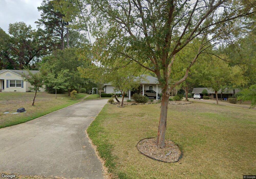
117 N Pinecrest Dr Ruston, LA 71270
Estimated Value: $200,905 - $250,000
3
Beds
2
Baths
1,389
Sq Ft
$158/Sq Ft
Est. Value
About This Home
This home is located at 117 N Pinecrest Dr, Ruston, LA 71270 and is currently estimated at $219,726, approximately $158 per square foot. 117 N Pinecrest Dr is a home located in Lincoln Parish with nearby schools including Hillcrest Elementary School, Ruston Elementary School, and Ruston Junior High School.
Ownership History
Date
Name
Owned For
Owner Type
Purchase Details
Closed on
Jul 19, 2021
Sold by
Loomis Joy R
Bought by
Jea Loomis Properites Llc
Current Estimated Value
Purchase Details
Closed on
Mar 10, 2006
Sold by
Phillips Henley R Garland E and Phillips Henley Elizabeth
Bought by
Russo Loomis Iii Albert Edward and Russo Loomis Joy
Home Financials for this Owner
Home Financials are based on the most recent Mortgage that was taken out on this home.
Original Mortgage
$101,600
Interest Rate
6.09%
Mortgage Type
New Conventional
Create a Home Valuation Report for This Property
The Home Valuation Report is an in-depth analysis detailing your home's value as well as a comparison with similar homes in the area
Purchase History
| Date | Buyer | Sale Price | Title Company |
|---|---|---|---|
| Jea Loomis Properites Llc | -- | None Available | |
| Russo Loomis Iii Albert Edward | $127,000 | None Available |
Source: Public Records
Mortgage History
| Date | Status | Borrower | Loan Amount |
|---|---|---|---|
| Previous Owner | Russo Loomis Iii Albert Edward | $101,600 |
Source: Public Records
Tax History
| Year | Tax Paid | Tax Assessment Tax Assessment Total Assessment is a certain percentage of the fair market value that is determined by local assessors to be the total taxable value of land and additions on the property. | Land | Improvement |
|---|---|---|---|---|
| 2025 | $1,359 | $15,923 | $3,029 | $12,894 |
| 2024 | $1,359 | $15,923 | $3,029 | $12,894 |
| 2023 | $1,376 | $15,488 | $3,010 | $12,478 |
| 2022 | $1,383 | $15,488 | $3,010 | $12,478 |
| 2021 | $1,281 | $15,488 | $3,010 | $12,478 |
| 2020 | $1,166 | $14,032 | $3,010 | $11,022 |
| 2019 | $1,139 | $14,032 | $3,010 | $11,022 |
| 2018 | $1,109 | $14,032 | $3,010 | $11,022 |
| 2017 | $1,111 | $14,032 | $3,010 | $11,022 |
| 2016 | $1,107 | $0 | $0 | $0 |
| 2015 | $1,060 | $12,337 | $1,700 | $10,637 |
| 2013 | $1,076 | $12,337 | $1,700 | $10,637 |
Source: Public Records
Map
Nearby Homes
- 1604 N Trenton St
- 1715 N Trenton St
- 200 Pinecrest Dr
- 1607 N Trenton St
- 218 Huey Ave
- 516 Glendale Dr
- 2302 Bocage Place
- 0 Gordon Dr
- 2210 Llangeler Dr
- 2322 Bocage Place
- 503 E Kentucky Ave
- 2158 Llangeler Dr
- 904 Sherwood Dr
- 2104 Greenbriar Dr
- 910 N Vienna St
- 2502 S Service Rd E
- 615 E Kentucky Ave
- 0 S Service Rd E
- 542 Toma Lodge Dr
- 910 Laura Ln
- 121 N Pinecrest Dr
- 106 Wynnwood Ave
- 104 Wynnwood Ave
- 109 N Pinecrest Dr
- 102 Wynnwood Ave
- 108 Wynnwood Ave
- 125 N Pinecrest Dr
- 105 N Pinecrest Dr
- 1401 Wynnwood Ave
- 200 Wynnwood Ave
- 100 Wynnwood Ave
- 8 Wynnwood Ave
- 133 N Pinecrest Dr
- 110 N Pinecrest Dr
- 107 Wynnwood Ave
- 1716 N Trenton St
- 000 Wynnwood Ave
- 202 Wynnwood Ave
- 102 N Pinecrest Dr
- 105 Wynnwood Ave
Your Personal Tour Guide
Ask me questions while you tour the home.