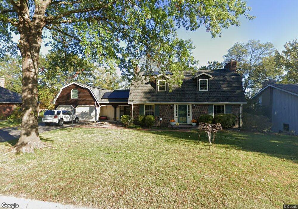
117 W Burnam Rd Columbia, MO 65203
Old Southwest NeighborhoodEstimated Value: $547,000 - $747,000
About This Home
This home is located at 117 W Burnam Rd, Columbia, MO 65203 and is currently estimated at $655,711, approximately $186 per square foot. 117 W Burnam Rd is a home located in Boone County with nearby schools including Grant Elementary School, West Middle School, and David H. Hickman High School.
Ownership History
We collect this data history from publicly available records. To have your information removed, we recommend requesting removal directly through your county’s website.
Purchase Details
Purchase Details
Home Financials for this Owner
Home Financials are based on the most recent Mortgage that was taken out on this home.Purchase Details
Home Values in the Area
Average Home Value in this Area
Purchase History
We collect this data history from publicly available records. To have your information removed, we recommend requesting removal directly through your county’s website.
| Date | Buyer | Sale Price | Title Company |
|---|---|---|---|
| -- | None Available | ||
| -- | None Available | ||
| -- | None Available |
Mortgage History
We collect this data history from publicly available records. To have your information removed, we recommend requesting removal directly through your county’s website.
| Date | Status | Borrower | Loan Amount |
|---|---|---|---|
| Open | $240,000 |
Tax History
We collect this data history from publicly available records. To have your information removed, we recommend requesting removal directly through your county’s website.
| Year | Tax Paid | Tax Assessment Tax Assessment Total Assessment is a certain percentage of the fair market value that is determined by local assessors to be the total taxable value of land and additions on the property. | Land | Improvement |
|---|---|---|---|---|
| 2025 | $5,341 | $81,567 | $7,676 | $73,891 |
| 2024 | $4,805 | $71,231 | $7,676 | $63,555 |
| 2023 | $4,766 | $71,231 | $7,676 | $63,555 |
| 2022 | $4,408 | $65,949 | $7,676 | $58,273 |
| 2021 | $4,416 | $65,949 | $7,676 | $58,273 |
| 2020 | $4,352 | $61,064 | $7,676 | $53,388 |
| 2019 | $4,352 | $61,064 | $7,676 | $53,388 |
| 2018 | $4,057 | $0 | $0 | $0 |
| 2017 | $3,911 | $56,540 | $7,676 | $48,864 |
| 2016 | $3,911 | $53,751 | $7,676 | $46,075 |
| 2015 | $3,608 | $53,751 | $7,676 | $46,075 |
| 2014 | $3,628 | $53,751 | $7,676 | $46,075 |
Map
- 711 Thilly Ave
- 701 Glenwood Ct
- 402 Thilly Ave
- 117 Park Hill Ave
- 1004 Sunset Dr
- 1125 Saint Christopher St
- 1020 Prospect St
- 11 N Glenwood Ave
- 812 Valley Ct
- 111 W Ash St Unit A - B
- 211 N Garth Ave
- 114 Oak St
- 922 W Broadway
- 367 Crown Point
- 1402 W Rollins Rd
- 1424 Bradford Dr
- LOT 7 Bradford Dr
- 405 Alexander Ave
- 216 Ridgeway Ave
- 19 Pendleton St
- 201 W Burnam Rd
- 113 W Burnam Rd
- 2 E Clarkson Rd Unit B
- 2 E Clarkson Rd Unit A
- 116 W Burnam Rd
- 109 W Burnam Rd
- 205 W Burnam Rd
- 112 W Burnam Rd
- 204 W Burnam Rd
- 107 W Burnam Rd
- 201 W Ridgeley Rd
- 209 W Burnam Rd
- 4 E Clarkson Rd
- 4 E Clarkson Rd
- 4 E Clarkson Rd Unit B
- 203 W Ridgeley Rd
- 115 W Ridgeley Rd
- 208 W Burnam Rd
- 106 W Burnam Rd
- 111 W Ridgeley Rd
Ask me questions while you tour the home.