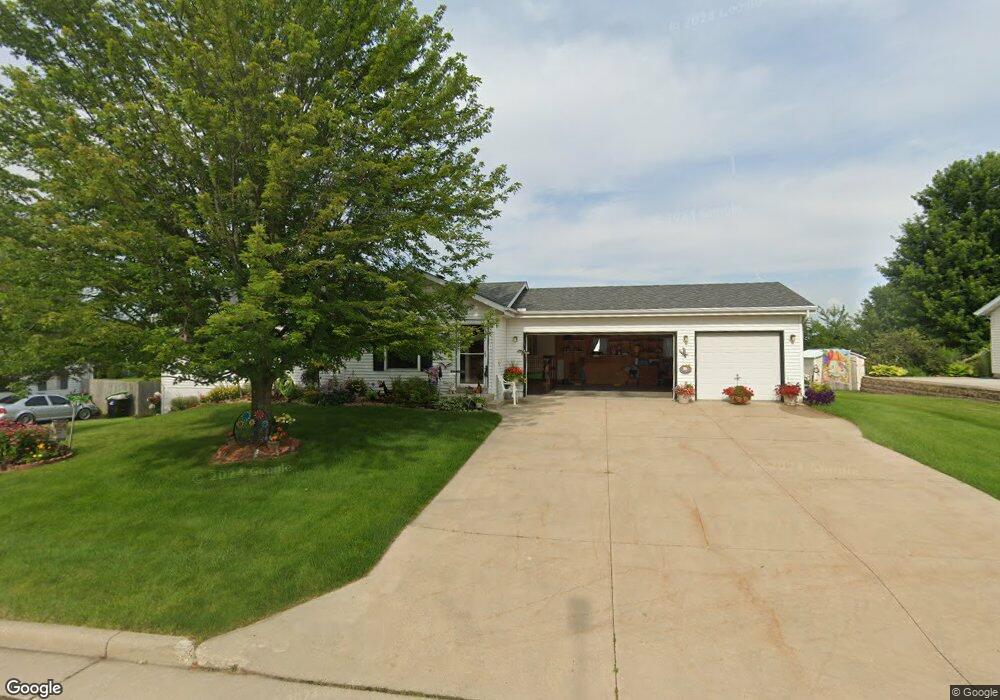
117 Westgate Dr Iron Ridge, WI 53035
Estimated Value: $291,271 - $349,000
Studio
--
Bath
--
Sq Ft
10,498
Sq Ft Lot Lot
About This Home
This home is located at 117 Westgate Dr, Iron Ridge, WI 53035 and is currently estimated at $326,318. 117 Westgate Dr is a home located in Dodge County with nearby schools including Horicon Elementary School, Horicon High School, and St. Matthew Lutheran School.
Ownership History
Date
Name
Owned For
Owner Type
Purchase Details
Closed on
Mar 11, 2005
Sold by
Wolter Richard A
Bought by
Kintopp Michael F and Kintopp Jean K
Current Estimated Value
Home Financials for this Owner
Home Financials are based on the most recent Mortgage that was taken out on this home.
Original Mortgage
$190,000
Outstanding Balance
$93,466
Interest Rate
5.67%
Mortgage Type
Future Advance Clause Open End Mortgage
Estimated Equity
$232,852
Create a Home Valuation Report for This Property
The Home Valuation Report is an in-depth analysis detailing your home's value as well as a comparison with similar homes in the area
Purchase History
| Date | Buyer | Sale Price | Title Company |
|---|---|---|---|
| Kintopp Michael F | $165,900 | -- |
Source: Public Records
Mortgage History
| Date | Status | Borrower | Loan Amount |
|---|---|---|---|
| Open | Kintopp Michael F | $190,000 |
Source: Public Records
Tax History
| Year | Tax Paid | Tax Assessment Tax Assessment Total Assessment is a certain percentage of the fair market value that is determined by local assessors to be the total taxable value of land and additions on the property. | Land | Improvement |
|---|---|---|---|---|
| 2025 | $3,234 | $166,500 | $35,000 | $131,500 |
| 2024 | $3,123 | $166,500 | $35,000 | $131,500 |
| 2023 | $3,057 | $166,500 | $35,000 | $131,500 |
| 2022 | $3,025 | $166,500 | $35,000 | $131,500 |
| 2021 | $2,922 | $166,500 | $35,000 | $131,500 |
| 2020 | $3,180 | $166,500 | $35,000 | $131,500 |
| 2019 | $2,991 | $166,500 | $35,000 | $131,500 |
| 2018 | $3,030 | $166,500 | $35,000 | $131,500 |
| 2017 | $2,870 | $166,500 | $35,000 | $131,500 |
| 2016 | $2,823 | $166,500 | $35,000 | $131,500 |
| 2015 | $2,803 | $166,500 | $35,000 | $131,500 |
| 2014 | $3,152 | $166,500 | $35,000 | $131,500 |
Source: Public Records
Map
Nearby Homes
- 233 W Pleasant St
- 210 N Main St
- 234 Watertower Cir
- N5413 County Rd S
- Lot 29 Weber View Dr
- Lt1 County Rd S
- Lot 1 Woodland Rd
- N5071 Lake Dr
- N4973 Lake Dr
- N4583 Hickory Rd
- N4493 Hickory Rd
- N5968 County Road P
- W3730 Decora Rd
- W4011 Hickory Rd
- N4411 Daley Rd
- 0 Madison Rd
- 4301 W State Road 33 Rd
- N4996 Butternut Trail
- 267 N Ridge St
- 0 N Ridge St
- 241 Kuehl Dr
- 119 Westgate Dr
- 115 Westgate Dr
- 243 Kuehl Dr
- 114 Westgate Dr
- 116 Westgate Dr
- 121 Westgate Dr
- 112 Westgate Dr
- 113 Westgate Dr
- 239 Kuehl Dr
- 118 Westgate Dr
- 115 Douglas Dr Unit A
- 211 Michael Dr
- 209 Michael Dr
- 110 Westgate Dr
- 207 Michael Dr
- 237 Kuehl Dr
- 205 Michael Dr
- 100 State Road 67
- 111 Westgate Dr
Your Personal Tour Guide
Ask me questions while you tour the home.