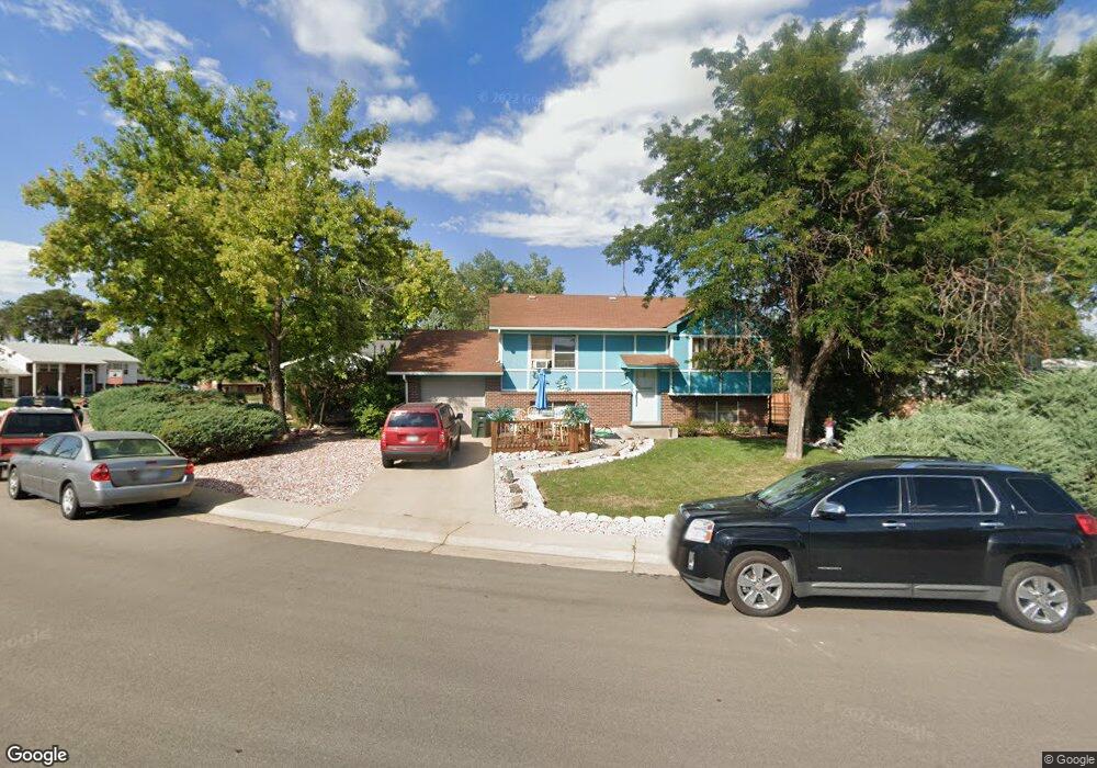
11705 Spring Dr Northglenn, CO 80233
Northglenn AreaEstimated Value: $443,712 - $481,000
About This Home
This home is located at 11705 Spring Dr, Northglenn, CO 80233 and is currently estimated at $461,178, approximately $251 per square foot. 11705 Spring Dr is a home located in Adams County with nearby schools including Malley Drive Elementary School, Northglenn Middle School, and Mountain Range High School.
Ownership History
We collect this data history from publicly available records. To have your information removed, we recommend requesting removal directly through your county’s website.
Purchase Details
Purchase Details
Home Values in the Area
Average Home Value in this Area
Purchase History
We collect this data history from publicly available records. To have your information removed, we recommend requesting removal directly through your county’s website.
| Date | Buyer | Sale Price | Title Company |
|---|---|---|---|
| $88,000 | Stewart Title | ||
| $73,500 | -- |
Mortgage History
We collect this data history from publicly available records. To have your information removed, we recommend requesting removal directly through your county’s website.
| Date | Status | Borrower | Loan Amount |
|---|---|---|---|
| Open | $543,000 | ||
| Closed | $150,000 | ||
| Closed | $162,350 | ||
| Closed | $133,000 | ||
| Closed | $43,000 | ||
| Closed | $25,000 |
Tax History
We collect this data history from publicly available records. To have your information removed, we recommend requesting removal directly through your county’s website.
| Year | Tax Paid | Tax Assessment Tax Assessment Total Assessment is a certain percentage of the fair market value that is determined by local assessors to be the total taxable value of land and additions on the property. | Land | Improvement |
|---|---|---|---|---|
| 2025 | $2,415 | $28,970 | $6,260 | $22,710 |
| 2024 | $2,415 | $26,630 | $5,750 | $20,880 |
| 2023 | $2,393 | $30,710 | $5,610 | $25,100 |
| 2022 | $2,183 | $24,240 | $5,770 | $18,470 |
| 2021 | $2,253 | $24,240 | $5,770 | $18,470 |
| 2020 | $2,103 | $23,610 | $5,930 | $17,680 |
| 2019 | $3,018 | $23,610 | $5,930 | $17,680 |
| 2018 | $2,351 | $17,920 | $5,400 | $12,520 |
| 2017 | $2,163 | $17,920 | $5,400 | $12,520 |
| 2016 | $1,784 | $14,430 | $3,020 | $11,410 |
| 2015 | $1,781 | $14,430 | $3,020 | $11,410 |
| 2014 | $1,540 | $12,160 | $2,390 | $9,770 |
Map
- 11714 Quam Dr
- 11864 Quam Dr
- 841 Phillips Dr
- 11634 Grant St
- 11835 Lincoln St
- 11480 Ogden St
- 11654 Community Center Dr Unit 109
- 986 E 114th Place
- 11636 Community Center Dr Unit 29
- 11554 Community Center Dr Unit 28
- 11590 Community Center Dr Unit 44
- 11584 Community Center Dr Unit 70
- 11518 Community Center Dr Unit 20
- 11560 Community Center Dr Unit 78
- 11393 Humboldt St
- 1902 E 116th Place
- 11312 Lafayette St
- 12231 Farmview St
- 1737 E 122nd Ave
- 12261 Karl's Ln
- 11733 Quam Dr
- 11743 Quam Dr
- 11820 Clarkson Ct
- 11753 Quam Dr
- 11713 Quam Dr
- 11704 Quam Dr
- 11821 Clarkson Ct
- 11830 Clarkson Ct
- 11802 McCrumb Dr
- 11763 Quam Dr
- 11812 McCrumb Dr
- 11724 Quam Dr
- 11703 Quam Dr
- 11831 Clarkson Ct
- 11715 Spring Dr
- 11773 Quam Dr
- 11734 Quam Dr
- 11801 McCrumb Dr
- 11702 Spring Dr
- 11822 McCrumb Dr
Ask me questions while you tour the home.