Estimated Value: $205,669 - $361,000
4
Beds
2
Baths
1,647
Sq Ft
$164/Sq Ft
Est. Value
About This Home
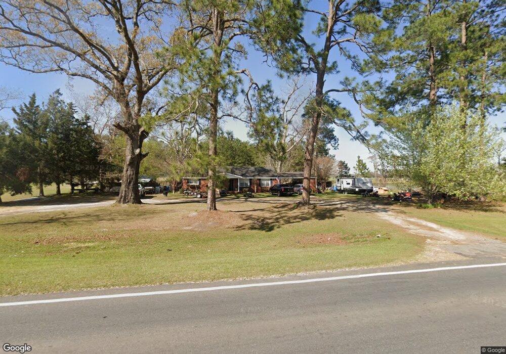
This home is located at 11711 Highway 76, Adel, GA 31620 and is currently estimated at $270,667, approximately $164 per square foot. 11711 Highway 76 is a home located in Cook County with nearby schools including Cook Primary School, Cook Elementary School, and Cook County Middle School.
Ownership History
Date
Name
Owned For
Owner Type
Purchase Details
Closed on
Jul 23, 2015
Sold by
Cousins Property Preservat
Bought by
Alvarado Francisco
Current Estimated Value
Home Financials for this Owner
Home Financials are based on the most recent Mortgage that was taken out on this home.
Original Mortgage
$117,826
Outstanding Balance
$93,021
Interest Rate
4.62%
Mortgage Type
FHA
Estimated Equity
$177,646
Purchase Details
Closed on
Mar 26, 2015
Sold by
Bank Of America
Bought by
Cousins Property Preservation
Purchase Details
Closed on
Aug 5, 2014
Sold by
Green Roger
Bought by
Bank Of America
Purchase Details
Closed on
Jan 28, 2009
Sold by
Green Joni M
Bought by
Green Joni M and Green Roger
Create a Home Valuation Report for This Property
The Home Valuation Report is an in-depth analysis detailing your home's value as well as a comparison with similar homes in the area
Home Values in the Area
Average Home Value in this Area
Purchase History
| Date | Buyer | Sale Price | Title Company |
|---|---|---|---|
| Alvarado Francisco | $120,000 | -- | |
| Cousins Property Preservation | $85,400 | -- | |
| Bank Of America | -- | -- | |
| Green Joni M | -- | -- |
Source: Public Records
Mortgage History
| Date | Status | Borrower | Loan Amount |
|---|---|---|---|
| Open | Alvarado Francisco | $117,826 |
Source: Public Records
Tax History
| Year | Tax Paid | Tax Assessment Tax Assessment Total Assessment is a certain percentage of the fair market value that is determined by local assessors to be the total taxable value of land and additions on the property. | Land | Improvement |
|---|---|---|---|---|
| 2025 | $1,051 | $55,226 | $6,702 | $48,524 |
| 2024 | $1,192 | $44,268 | $5,298 | $38,970 |
| 2023 | $1,065 | $39,542 | $5,298 | $34,244 |
| 2022 | $1,050 | $38,974 | $4,730 | $34,244 |
| 2021 | $972 | $33,670 | $4,730 | $28,940 |
| 2020 | $972 | $33,670 | $4,730 | $28,940 |
| 2019 | $973 | $33,670 | $4,730 | $28,940 |
| 2018 | $974 | $33,670 | $4,730 | $28,940 |
| 2017 | $974 | $33,670 | $4,730 | $28,940 |
| 2016 | $975 | $33,670 | $4,730 | $28,940 |
| 2015 | $977 | $33,670 | $4,730 | $28,940 |
| 2014 | $922 | $33,670 | $4,730 | $28,940 |
| 2013 | -- | $33,670 | $4,730 | $28,940 |
Source: Public Records
Map
Nearby Homes
- 10580 Georgia 76
- 01 Lakeridge Dr
- 146 Lakeridge Dr
- 423 Indian Creek Cir
- 9285 Georgia 37
- 625 Coxstill Rd
- 315 Newton Dr
- 708 Town And Country Dr
- 322 Magnolia Dr
- 2603 Dianne St
- 609 E 4th St
- 2304 Thomas St
- 1405 Pebblewood Dr
- 111 Brookside Dr
- 1402 Bear Creek Rd
- 313 S Forrest Ave
- 1002 Bear Creek Rd
- 526 E Mitchell St
- 513 Spanish Moss Ln
- 806 S Forrest Ave
- 11711 Georgia 76
- 11700 Highway 76
- 1657 Cowart Cobb Rd
- 94 Postell Rd
- 11572 Highway 76
- 11901 Highway 76
- 11530 Highway 76
- 11511 Highway 76
- 11955 Highway 76
- 1587 Cowart Cobb Rd
- 245 Postell Rd
- 34 Blackberry Ln
- 146 Blackberry Ln
- 11395 Highway 76
- 12049 Highway 76
- 215 Blackberry Ln
- 335 Postell Rd
- 0 Cowart Cobb Rd
- NA Cowart Cobb Rd
- 407 Parrish Ln
Your Personal Tour Guide
Ask me questions while you tour the home.