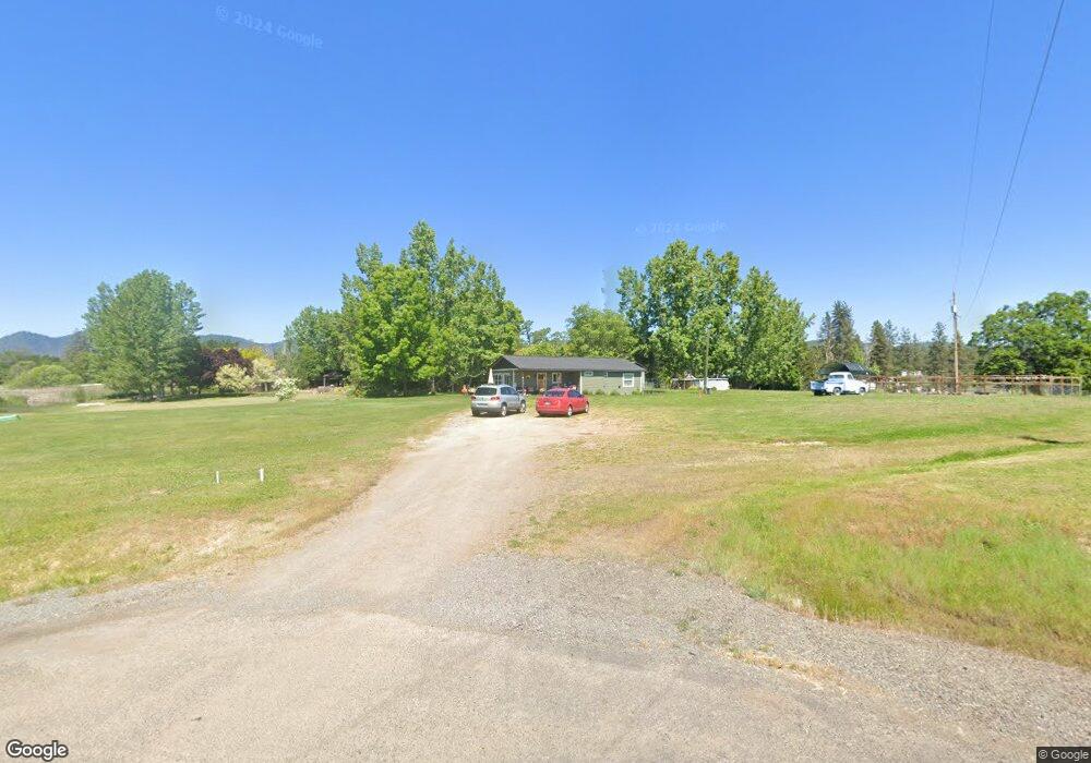
11785 Michael Rd Central Point, OR 97502
Estimated Value: $414,262 - $463,000
3
Beds
2
Baths
1,931
Sq Ft
$230/Sq Ft
Est. Value
About This Home
This home is located at 11785 Michael Rd, Central Point, OR 97502 and is currently estimated at $444,421, approximately $230 per square foot. 11785 Michael Rd is a home located in Jackson County with nearby schools including Sams Valley Elementary School, Hanby Middle School, and Crater High School.
Ownership History
Date
Name
Owned For
Owner Type
Purchase Details
Closed on
Dec 23, 2004
Sold by
Boice Justin C and Boice Kimberly D
Bought by
Robison Roger and Robison Kimberly
Current Estimated Value
Home Financials for this Owner
Home Financials are based on the most recent Mortgage that was taken out on this home.
Original Mortgage
$160,000
Interest Rate
5.7%
Mortgage Type
Purchase Money Mortgage
Purchase Details
Closed on
Sep 12, 2002
Sold by
Siero Marcelo
Bought by
Boice Justin C and Boice Kimberly D
Home Financials for this Owner
Home Financials are based on the most recent Mortgage that was taken out on this home.
Original Mortgage
$137,000
Interest Rate
6.37%
Mortgage Type
Seller Take Back
Create a Home Valuation Report for This Property
The Home Valuation Report is an in-depth analysis detailing your home's value as well as a comparison with similar homes in the area
Purchase History
| Date | Buyer | Sale Price | Title Company |
|---|---|---|---|
| Robison Roger | $160,000 | First American | |
| Boice Justin C | $142,000 | First American Title Ins Co |
Source: Public Records
Mortgage History
| Date | Status | Borrower | Loan Amount |
|---|---|---|---|
| Closed | Robison Roger | $160,000 | |
| Previous Owner | Boice Justin C | $137,000 |
Source: Public Records
Tax History
| Year | Tax Paid | Tax Assessment Tax Assessment Total Assessment is a certain percentage of the fair market value that is determined by local assessors to be the total taxable value of land and additions on the property. | Land | Improvement |
|---|---|---|---|---|
| 2026 | $2,017 | $162,770 | -- | -- |
| 2025 | $1,961 | $158,030 | $90,420 | $67,610 |
| 2024 | $1,961 | $153,430 | $97,190 | $56,240 |
| 2023 | $1,898 | $148,970 | $94,360 | $54,610 |
| 2022 | $1,859 | $148,970 | $94,360 | $54,610 |
| 2021 | $1,808 | $144,640 | $91,610 | $53,030 |
| 2020 | $1,757 | $140,430 | $88,940 | $51,490 |
| 2019 | $1,719 | $132,370 | $83,830 | $48,540 |
| 2018 | $1,667 | $128,520 | $81,390 | $47,130 |
| 2017 | $1,630 | $128,520 | $81,390 | $47,130 |
| 2016 | $1,584 | $121,150 | $76,720 | $44,430 |
| 2015 | $1,528 | $121,150 | $76,720 | $44,430 |
| 2014 | $1,493 | $114,210 | $72,320 | $41,890 |
Source: Public Records
Map
Nearby Homes
- 0 Perry Rd
- 11220 Duggan Rd
- 395 Robleda Dr
- 0 Duggan Rd Unit 220198974
- 13290 Table Rock Rd
- 13007 Perry Rd
- 2532 Holcomb Springs Rd
- 8959 John Day Dr
- 11322 Modoc Rd
- 0 Winnetka Rd
- 12310 Ramsey Rd
- 7426 Denman Ct
- 12940 Highway 234
- 12214 Modoc Rd
- 12838 Ramsey Rd
- 12950 Highway 234
- 12240 Modoc Rd Unit A
- 12240 Modoc Rd Unit B
- 12240 Modoc Rd Unit C
- 13327 Highway 234
- 11783 Michael Rd
- 3385 Sams Valley Hwy
- 11781 Michael Rd
- 3465 Sams Valley Hwy
- 11717 Michael Rd
- 3400 Sams Valley Rd
- 3400 Sams Valley Hwy
- 3400 Sams Valley Hwy
- 11775 Michael Rd
- 11750 Duggan Rd
- 3485 Sams Valley Hwy
- 3450 Sams Valley Hwy
- 3450 Sams Valley Hwy
- 11800 Perry Rd
- 3260 Sams Valley Hwy
- 11730 Duggan Rd
- 5555 Oregon 234
- 11841 Duggan Rd
- 11780 Michael Rd
- 11781 Duggan Rd
Your Personal Tour Guide
Ask me questions while you tour the home.