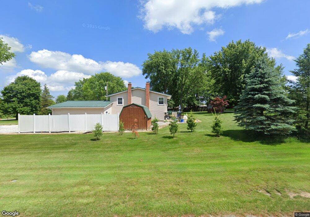
11788 Sharp Dr Doylestown, OH 44230
Estimated Value: $256,000 - $290,000
3
Beds
1
Bath
1,232
Sq Ft
$218/Sq Ft
Est. Value
About This Home
This home is located at 11788 Sharp Dr, Doylestown, OH 44230 and is currently estimated at $269,175, approximately $218 per square foot. 11788 Sharp Dr is a home located in Wayne County with nearby schools including Hazel Harvey Elementary School, Chippewa Intermediate School, and Chippewa Jr./Sr. High School.
Ownership History
Date
Name
Owned For
Owner Type
Purchase Details
Closed on
Oct 3, 2019
Sold by
Adams Garry A
Bought by
Adams Garry A
Current Estimated Value
Purchase Details
Closed on
Sep 15, 1995
Sold by
Caskey Clyde O
Bought by
Adams Garry A and Adams Judith A
Home Financials for this Owner
Home Financials are based on the most recent Mortgage that was taken out on this home.
Original Mortgage
$80,500
Interest Rate
7.81%
Mortgage Type
New Conventional
Purchase Details
Closed on
Aug 26, 1986
Bought by
Caskey Clyde O
Create a Home Valuation Report for This Property
The Home Valuation Report is an in-depth analysis detailing your home's value as well as a comparison with similar homes in the area
Home Values in the Area
Average Home Value in this Area
Purchase History
| Date | Buyer | Sale Price | Title Company |
|---|---|---|---|
| Adams Garry A | -- | -- | |
| Adams Garry A | $85,000 | -- | |
| Caskey Clyde O | -- | -- |
Source: Public Records
Mortgage History
| Date | Status | Borrower | Loan Amount |
|---|---|---|---|
| Previous Owner | Adams Garry A | $80,500 |
Source: Public Records
Tax History
| Year | Tax Paid | Tax Assessment Tax Assessment Total Assessment is a certain percentage of the fair market value that is determined by local assessors to be the total taxable value of land and additions on the property. | Land | Improvement |
|---|---|---|---|---|
| 2025 | $2,913 | $84,120 | $24,890 | $59,230 |
| 2024 | $2,913 | $84,120 | $24,890 | $59,230 |
| 2023 | $2,927 | $84,120 | $24,890 | $59,230 |
| 2022 | $2,180 | $57,620 | $17,050 | $40,570 |
| 2021 | $2,196 | $57,620 | $17,050 | $40,570 |
| 2020 | $2,211 | $57,620 | $17,050 | $40,570 |
| 2019 | $2,057 | $50,710 | $16,250 | $34,460 |
| 2018 | $2,077 | $50,710 | $16,250 | $34,460 |
| 2017 | $2,061 | $50,710 | $16,250 | $34,460 |
| 2016 | $2,010 | $48,770 | $15,630 | $33,140 |
| 2015 | $2,003 | $48,770 | $15,630 | $33,140 |
| 2014 | $1,764 | $48,770 | $15,630 | $33,140 |
| 2013 | $1,721 | $46,110 | $15,860 | $30,250 |
Source: Public Records
Map
Nearby Homes
- 12214 Vince Dr
- 18592 Edwards Rd Unit 137
- 18592 Edwards Rd Unit 3
- 7648 N 2nd Ave
- 16441 Bieri Rd
- 100 Merlot Ct
- 2761 North St
- 12045 Coal Bank Rd
- 6300 S Cleveland Massillon Rd
- 204 Circle Dr
- 15899 Mccallum Dr
- 14740 Oak Grove Dr Unit 41
- 580 Thorn Way
- 680 Thorn Way
- 620 Thorn Way
- 8177 S Cleveland Massillon Rd Unit 16
- 0 S Portage St
- 6670 Kepler Rd
- VL 1067 Homan Dr
- 14831 Calaboone Rd
- 11804 Clinton Rd
- 11766 Sharp Dr
- 11814 Clinton Rd
- 11756 Sharp Dr
- 11824 Clinton Rd
- 11742 Sharp Dr
- 11787 Clinton Rd
- 11834 Clinton Rd
- 11767 Clinton Rd
- 11642 Rogues Dr
- 11813 Clinton Rd
- 11730 Sharp Dr
- 11844 Clinton Rd
- 11637 Rogues Dr
- 11761 Clinton Rd
- 11827 Clinton Rd
- 11867 Breezewood Dr
- 18220 William Dr
- 18390 William Dr
- 11854 Clinton Rd
Your Personal Tour Guide
Ask me questions while you tour the home.