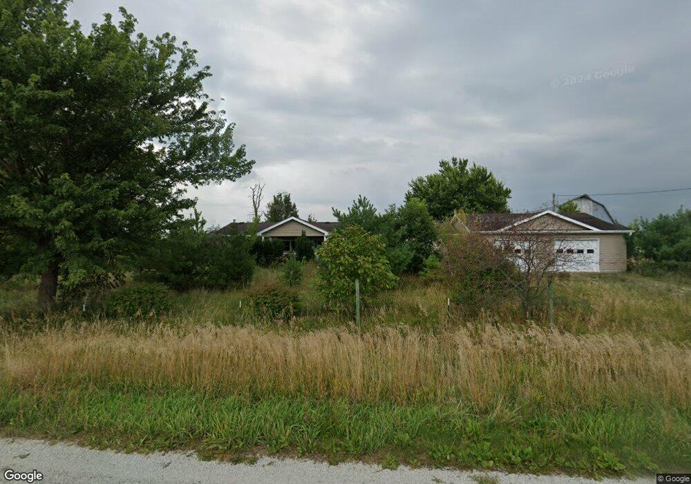
1179 E 2100 North Rd Danforth, IL 60930
Estimated Value: $192,765 - $246,000
Studio
--
Bath
--
Sq Ft
70,132
Sq Ft Lot
About This Home
This home is located at 1179 E 2100 North Rd, Danforth, IL 60930 and is currently estimated at $218,191. 1179 E 2100 North Rd is a home with nearby schools including Iroquois West Elementary School/Danforth, Iroquois West Elementary School/Thawville, and Iroquois West Middle School.
Ownership History
Date
Name
Owned For
Owner Type
Purchase Details
Closed on
Nov 19, 2021
Sold by
Bernard Sheila and Johnson Shawna
Bought by
Liang Jianwei
Current Estimated Value
Purchase Details
Closed on
Aug 10, 2021
Sold by
Townsend Samuel Shannon and Bernard Sheila
Bought by
Bernard Sheila and Johnson Shannon
Purchase Details
Closed on
Feb 10, 2021
Sold by
Townsend Samuel Shannon and Bernard Sheila
Bought by
Bernard Sheila
Purchase Details
Closed on
Jan 21, 2010
Bought by
Shannon Maureen
Create a Home Valuation Report for This Property
The Home Valuation Report is an in-depth analysis detailing your home's value as well as a comparison with similar homes in the area
Purchase History
| Date | Buyer | Sale Price | Title Company |
|---|---|---|---|
| Liang Jianwei | $153,000 | Community Title Company | |
| Bernard Sheila | -- | Johnson Kay L | |
| Bernard Sheila | -- | Attorney | |
| Shannon Maureen | $110,000 | -- |
Source: Public Records
Tax History
| Year | Tax Paid | Tax Assessment Tax Assessment Total Assessment is a certain percentage of the fair market value that is determined by local assessors to be the total taxable value of land and additions on the property. | Land | Improvement |
|---|---|---|---|---|
| 2024 | $3,914 | $56,190 | $8,430 | $47,760 |
| 2023 | $3,914 | $51,550 | $7,730 | $43,820 |
| 2022 | $3,579 | $48,630 | $7,290 | $41,340 |
| 2021 | $3,112 | $41,570 | $6,230 | $35,340 |
| 2020 | $2,175 | $38,720 | $5,800 | $32,920 |
| 2019 | $2,120 | $37,450 | $5,610 | $31,840 |
| 2018 | $2,063 | $36,470 | $5,460 | $31,010 |
| 2017 | $2,080 | $35,820 | $5,360 | $30,460 |
| 2016 | $2,104 | $35,820 | $5,360 | $30,460 |
| 2015 | $2,037 | $35,370 | $5,290 | $30,080 |
| 2014 | $2,037 | $34,720 | $5,190 | $29,530 |
| 2013 | $2,329 | $36,250 | $5,420 | $30,830 |
Source: Public Records
Map
Nearby Homes
- 112 North St
- 410 N Colfax St
- 309 N Colfax St
- 601 N Church St
- 2018 N US Highway 45
- 206 S Cherry St
- E 2000 N Rd
- 308 Jefferson St
- 1500 E 2400 Rd N Unit 66
- 410 E Main St
- 224 N Maple St
- Sec7 Twp26n R10e Rd
- 107 S Clinton St
- 404 S Maple St
- 116 N Main St
- 209 E Lafayette St
- 97.49 acres 2700 North Rd
- 316 N Commerce St
- 507 N Secor St
- 322 N Peoria St
Your Personal Tour Guide
Ask me questions while you tour the home.