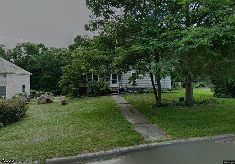
118 Fourth St Pittsfield, ME 04967
Estimated Value: $213,000 - $264,758
4
Beds
2
Baths
1,717
Sq Ft
$143/Sq Ft
Est. Value
About This Home
This home is located at 118 Fourth St, Pittsfield, ME 04967 and is currently estimated at $245,190, approximately $142 per square foot. 118 Fourth St is a home located in Somerset County with nearby schools including Manson Park School, Vickery School, and Sad #53 Alternative Education.
Ownership History
Date
Name
Owned For
Owner Type
Purchase Details
Closed on
Aug 13, 2012
Sold by
Lancaster Bayford L and Clifford Peter A
Bought by
Mitchell Deborah A and Mitchell Jonathan P
Current Estimated Value
Home Financials for this Owner
Home Financials are based on the most recent Mortgage that was taken out on this home.
Original Mortgage
$95,000
Outstanding Balance
$65,904
Interest Rate
3.7%
Mortgage Type
Purchase Money Mortgage
Estimated Equity
$179,286
Create a Home Valuation Report for This Property
The Home Valuation Report is an in-depth analysis detailing your home's value as well as a comparison with similar homes in the area
Home Values in the Area
Average Home Value in this Area
Purchase History
| Date | Buyer | Sale Price | Title Company |
|---|---|---|---|
| Mitchell Deborah A | -- | -- |
Source: Public Records
Mortgage History
| Date | Status | Borrower | Loan Amount |
|---|---|---|---|
| Open | Mitchell Deborah A | $95,000 |
Source: Public Records
Tax History
| Year | Tax Paid | Tax Assessment Tax Assessment Total Assessment is a certain percentage of the fair market value that is determined by local assessors to be the total taxable value of land and additions on the property. | Land | Improvement |
|---|---|---|---|---|
| 2024 | $2,793 | $132,700 | $23,100 | $109,600 |
| 2023 | $2,584 | $104,400 | $18,200 | $86,200 |
| 2022 | $2,547 | $104,400 | $18,200 | $86,200 |
| 2021 | $2,412 | $104,400 | $18,200 | $86,200 |
| 2020 | $274 | $104,400 | $18,200 | $86,200 |
| 2019 | $2,292 | $104,400 | $18,200 | $86,200 |
| 2018 | $1,299 | $104,400 | $18,200 | $86,200 |
| 2017 | $1,428 | $104,400 | $18,200 | $86,200 |
| 2016 | $6,066 | $104,400 | $18,200 | $86,200 |
| 2015 | $2,015 | $104,400 | $18,200 | $86,200 |
| 2014 | $2,237 | $117,100 | $18,200 | $98,900 |
Source: Public Records
Map
Nearby Homes
- 34 Waverly Ave
- 233 Madawaska Ave
- 308 Hartland Ave
- lot 43 Bates St
- 104 Madawaska Ave
- 296 N Main St
- 005 School St
- 0 Hartland
- 185 Main St
- Lot 8 Dogtown Rd
- 144 Curtis St
- 135 Cross St
- 61 Industrial Park St
- 410 Peltoma Ave
- 616 Peltoma Ave
- Lot #049 Main St
- M2 L21-2 S Ridge Rd
- 154 Main St
- 119 North Rd
- 25 Curtis Ln
Your Personal Tour Guide
Ask me questions while you tour the home.