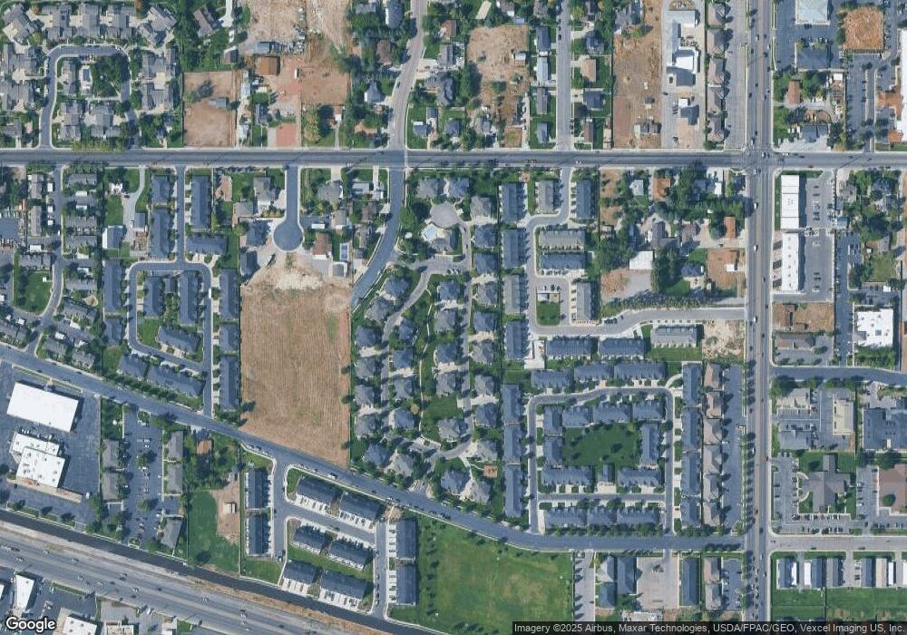
118 S 930 E American Fork, UT 84003
Estimated Value: $370,000 - $391,000
3
Beds
2
Baths
1,320
Sq Ft
$289/Sq Ft
Est. Value
About This Home
This home is located at 118 S 930 E, American Fork, UT 84003 and is currently estimated at $380,903, approximately $288 per square foot. 118 S 930 E is a home located in Utah County with nearby schools including Barratt Elementary School, American Fork Junior High School, and American Fork High School.
Ownership History
Date
Name
Owned For
Owner Type
Purchase Details
Closed on
Sep 12, 2023
Sold by
Farish Amanda A
Bought by
Am Shakespear Properties Llc
Current Estimated Value
Purchase Details
Closed on
Aug 10, 2015
Sold by
Nellesen Keth
Bought by
Farish Amanda A
Home Financials for this Owner
Home Financials are based on the most recent Mortgage that was taken out on this home.
Original Mortgage
$122,400
Interest Rate
3.97%
Mortgage Type
New Conventional
Purchase Details
Closed on
Jan 23, 2009
Sold by
Denison Tyler F
Bought by
Nellesen Keith
Create a Home Valuation Report for This Property
The Home Valuation Report is an in-depth analysis detailing your home's value as well as a comparison with similar homes in the area
Home Values in the Area
Average Home Value in this Area
Purchase History
| Date | Buyer | Sale Price | Title Company |
|---|---|---|---|
| Am Shakespear Properties Llc | -- | Inwest Title | |
| Farish Amanda A | -- | Morgan Title & Escrow Inc | |
| Nellesen Keith | -- | Utah First Title Insurance |
Source: Public Records
Mortgage History
| Date | Status | Borrower | Loan Amount |
|---|---|---|---|
| Previous Owner | Farish Amanda A | $122,400 |
Source: Public Records
Tax History
| Year | Tax Paid | Tax Assessment Tax Assessment Total Assessment is a certain percentage of the fair market value that is determined by local assessors to be the total taxable value of land and additions on the property. | Land | Improvement |
|---|---|---|---|---|
| 2025 | $1,709 | $199,485 | -- | -- |
| 2024 | $1,709 | $189,860 | $0 | $0 |
| 2023 | $1,673 | $197,065 | $0 | $0 |
| 2022 | $1,513 | $175,945 | $0 | $0 |
| 2021 | $1,456 | $264,400 | $31,700 | $232,700 |
| 2020 | $1,337 | $235,400 | $28,200 | $207,200 |
| 2019 | $1,231 | $224,200 | $26,600 | $197,600 |
| 2018 | $1,028 | $179,000 | $21,500 | $157,500 |
| 2017 | $954 | $89,650 | $0 | $0 |
| 2016 | $976 | $85,250 | $0 | $0 |
| 2015 | $1,029 | $85,250 | $0 | $0 |
| 2014 | $908 | $74,250 | $0 | $0 |
Source: Public Records
Map
Nearby Homes
Your Personal Tour Guide
Ask me questions while you tour the home.