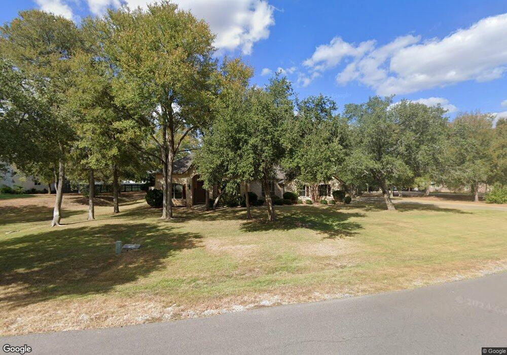
118 Spring Branch Bastrop, TX 78602
Estimated Value: $542,000 - $611,000
About This Home
This home is located at 118 Spring Branch, Bastrop, TX 78602 and is currently estimated at $578,950, approximately $236 per square foot. 118 Spring Branch is a home located in Bastrop County with nearby schools including Mina Elementary School, Bastrop Intermediate School, and Bastrop Middle School.
Ownership History
We collect this data history from publicly available records. To have your information removed, we recommend requesting removal directly through your county’s website.
Purchase Details
Purchase Details
Purchase Details
Home Values in the Area
Average Home Value in this Area
Purchase History
We collect this data history from publicly available records. To have your information removed, we recommend requesting removal directly through your county’s website.
| Date | Buyer | Sale Price | Title Company |
|---|---|---|---|
| -- | None Available | ||
| -- | None Available | ||
| -- | None Available | ||
| -- | None Available |
Mortgage History
We collect this data history from publicly available records. To have your information removed, we recommend requesting removal directly through your county’s website.
| Date | Status | Borrower | Loan Amount |
|---|---|---|---|
| Closed | $0 |
Tax History
We collect this data history from publicly available records. To have your information removed, we recommend requesting removal directly through your county’s website.
| Year | Tax Paid | Tax Assessment Tax Assessment Total Assessment is a certain percentage of the fair market value that is determined by local assessors to be the total taxable value of land and additions on the property. | Land | Improvement |
|---|---|---|---|---|
| 2025 | $8,270 | $575,709 | $153,594 | $422,115 |
| 2023 | $7,262 | $482,248 | $0 | $0 |
| 2022 | $6,234 | $386,130 | $0 | $0 |
| 2021 | $6,948 | $369,164 | $59,976 | $309,188 |
| 2020 | $6,513 | $319,115 | $37,887 | $281,228 |
| 2019 | $6,763 | $319,115 | $37,887 | $281,228 |
| 2018 | $7,270 | $341,425 | $37,887 | $303,538 |
| 2017 | $7,176 | $320,722 | $41,676 | $279,046 |
| 2016 | $6,551 | $292,781 | $37,887 | $254,894 |
| 2015 | $5,096 | $256,714 | $37,887 | $218,827 |
| 2014 | $5,096 | $234,816 | $29,151 | $205,665 |
Map
- 104 Spring Branch
- 106 Spring Meadow
- 427 Texas 304
- 147 Spring Meadow
- 101 Eland Ave
- TBD (27 Acres) Shiloh Rd
- 113 Outfitter Dr
- 327 Outfitter Dr
- 410 S Hunting Lodge Ln
- 409 S Hunting Lodge Ln
- 211 Pheasant Trail
- 301 Bird Dog Bend
- 102 Buck Shot Ct
- 102 Thompson Trail
- 105 Remington Run
- 303 Bob's Trail
- 107 Thompson Trail
- 201 Mossberg Ln
- 205 Javelina Trail
- 235 El Camino River Rd
- 132 Spring Branch
- 110 Spring Branch
- 103 Jacobs Cove
- 121 Spring Branch
- 121 Spring Branch
- 144 Spring Branch
- 115 Spring Branch
- 111 Spring Branch
- 101 Jacobs Cove
- 133 Spring Branch
- 137 Spring Branch
- 102 Jacobs Cove
- 150 Spring Branch
- 128 Spring Meadow
- 103 Spring Branch
- 141 Spring Branch
- 110 Bobcat Trail
- 118 Spring Meadow
- 112 Spring Meadow
- 154 Spring Branch
Ask me questions while you tour the home.