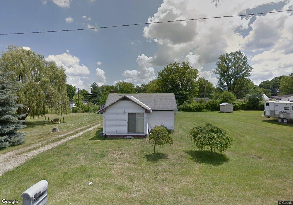
1180 Boyle Rd Mansfield, OH 44906
Estimated Value: $74,999 - $183,000
Studio
--
Bath
--
Sq Ft
6,882
Sq Ft Lot
About This Home
This home is located at 1180 Boyle Rd, Mansfield, OH 44906 and is currently estimated at $135,250. 1180 Boyle Rd is a home located in Richland County with nearby schools including Foundation Academy, Mansfield Elective Academy, and Goal Digital Academy.
Ownership History
Date
Name
Owned For
Owner Type
Purchase Details
Closed on
May 16, 2022
Sold by
Trina Tester
Bought by
Gipson
Current Estimated Value
Purchase Details
Closed on
May 21, 2004
Sold by
Thompson Mark H
Bought by
Thompson Trina
Home Financials for this Owner
Home Financials are based on the most recent Mortgage that was taken out on this home.
Original Mortgage
$18,180
Interest Rate
5.91%
Mortgage Type
New Conventional
Purchase Details
Closed on
Oct 12, 1999
Sold by
Wray Lowell F
Bought by
Thompson Mark H
Home Financials for this Owner
Home Financials are based on the most recent Mortgage that was taken out on this home.
Original Mortgage
$27,200
Interest Rate
7.88%
Mortgage Type
New Conventional
Purchase Details
Closed on
Apr 22, 1994
Sold by
Bauer Carl
Bought by
Wray Lowell F
Create a Home Valuation Report for This Property
The Home Valuation Report is an in-depth analysis detailing your home's value as well as a comparison with similar homes in the area
Home Values in the Area
Average Home Value in this Area
Purchase History
| Date | Buyer | Sale Price | Title Company |
|---|---|---|---|
| Gipson | $21,000 | Kitzler Benjamin D | |
| Gipson | $21,000 | None Listed On Document | |
| Thompson Trina | -- | Chicago Title | |
| Thompson Mark H | $32,000 | -- | |
| Wray Lowell F | $200 | -- |
Source: Public Records
Mortgage History
| Date | Status | Borrower | Loan Amount |
|---|---|---|---|
| Previous Owner | Thompson Trina | $18,180 | |
| Previous Owner | Thompson Mark H | $27,200 |
Source: Public Records
Tax History
| Year | Tax Paid | Tax Assessment Tax Assessment Total Assessment is a certain percentage of the fair market value that is determined by local assessors to be the total taxable value of land and additions on the property. | Land | Improvement |
|---|---|---|---|---|
| 2025 | $59 | $1,230 | $1,230 | $0 |
| 2024 | $59 | $1,230 | $1,230 | $0 |
| 2023 | $59 | $1,230 | $1,230 | $0 |
| 2022 | $62 | $1,090 | $1,090 | $0 |
| 2021 | $63 | $1,090 | $1,090 | $0 |
| 2020 | $64 | $1,090 | $1,090 | $0 |
| 2019 | $71 | $1,090 | $1,090 | $0 |
| 2018 | $70 | $1,090 | $1,090 | $0 |
| 2017 | $68 | $1,090 | $1,090 | $0 |
| 2016 | $67 | $1,040 | $1,040 | $0 |
| 2015 | $64 | $1,040 | $1,040 | $0 |
| 2014 | $63 | $1,040 | $1,040 | $0 |
| 2012 | $51 | $1,090 | $1,090 | $0 |
Source: Public Records
Map
Nearby Homes
- 1210 Boyle Rd
- 640 Hanna Rd
- 630 Hanna Rd
- 891 Springmill Rd
- 1501 Bowman St
- 1101 Lenox Ave
- 933 Fairfax Ave
- 880 Fairfax Ave
- 878 Fairfax Ave
- 1092 N Trimble Rd
- 990 N Trimble Rd
- 1074 NW Wade Dr
- 761 Fairfax Ave
- 641 Averill Ave
- 728 N Trimble Rd
- 0 Highway 30
- 572 France St
- 1113 Wyandotte Ave
- 516 Burns St
- 0 State Route 314 Unit 9069650
Your Personal Tour Guide
Ask me questions while you tour the home.