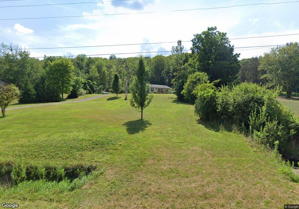
11833 Jackson Run Rd Sugar Grove, PA 16350
Estimated Value: $136,807 - $217,000
3
Beds
--
Bath
1,456
Sq Ft
$127/Sq Ft
Est. Value
About This Home
This home is located at 11833 Jackson Run Rd, Sugar Grove, PA 16350 and is currently estimated at $184,202, approximately $126 per square foot. 11833 Jackson Run Rd is a home located in Warren County with nearby schools including Eisenhower Elementary School, Eisenhower Middle/High School, and Railroad School.
Ownership History
Date
Name
Owned For
Owner Type
Purchase Details
Closed on
May 24, 2022
Sold by
Swanson Mary J and Swanson Bradley A
Bought by
Moore Matthew and Moore Krista
Current Estimated Value
Home Financials for this Owner
Home Financials are based on the most recent Mortgage that was taken out on this home.
Original Mortgage
$116,250
Outstanding Balance
$109,935
Interest Rate
5.23%
Mortgage Type
Construction
Estimated Equity
$74,267
Purchase Details
Closed on
Aug 21, 2006
Bought by
Swanson Mary J and Swanson Bradley A
Create a Home Valuation Report for This Property
The Home Valuation Report is an in-depth analysis detailing your home's value as well as a comparison with similar homes in the area
Purchase History
| Date | Buyer | Sale Price | Title Company |
|---|---|---|---|
| Moore Matthew | $155,000 | -- | |
| Swanson Mary J | $22,000 | -- |
Source: Public Records
Mortgage History
| Date | Status | Borrower | Loan Amount |
|---|---|---|---|
| Open | Moore Matthew | $116,250 |
Source: Public Records
Tax History
| Year | Tax Paid | Tax Assessment Tax Assessment Total Assessment is a certain percentage of the fair market value that is determined by local assessors to be the total taxable value of land and additions on the property. | Land | Improvement |
|---|---|---|---|---|
| 2025 | $1,962 | $21,078 | $2,011 | $19,067 |
| 2024 | $1,888 | $21,078 | $2,011 | $19,067 |
| 2023 | $1,804 | $21,078 | $2,011 | $19,067 |
| 2022 | $1,804 | $21,078 | $2,011 | $19,067 |
| 2021 | $1,793 | $21,078 | $2,011 | $19,067 |
| 2020 | $1,793 | $21,078 | $2,011 | $19,067 |
| 2019 | $1,841 | $21,078 | $2,011 | $19,067 |
| 2018 | $1,778 | $21,078 | $2,011 | $19,067 |
| 2017 | $1,738 | $21,078 | $2,011 | $19,067 |
| 2016 | $1,696 | $21,078 | $0 | $0 |
| 2015 | -- | $21,078 | $0 | $0 |
| 2014 | -- | $21,078 | $0 | $0 |
| 2013 | -- | $21,078 | $2,011 | $19,067 |
Source: Public Records
Map
Nearby Homes
- 12505 Jackson Run Rd
- Lot 28 Maple St St
- 0 Maple St Unit Lot 28
- 0 Eccles Rd Unit 14016
- 0 Route 957
- 1053 Turnpike Cemetery Rd
- 437 Busti Sugar Grove Rd
- 0 Pine Ridge Vl Rd
- 46 Coleman Rd
- 0 Burton Rd Unit R1628359
- 00 Nutt Rd
- 878 - 884 - 888 - 89 Busti Sugar Grove Rd
- 2241 Matthews Run Rd
- 00 Irvine Run Rd
- 1181 Brown Hill Rd
- 2760 Rhine Run Rd
- 1200 Indian Camp Run
- 0 Orr St
- 3025 Lottsville-Niobe Rd
- 1200 Indian Camp Run Rd
- 11805 Jackson Run Rd
- 11767 Jackson Run Rd
- 11741 Jackson Run Rd
- 11645 Jackson Run Rd
- 12140 Jackson Run Rd
- 11495 Jackson Run Rd
- 11520 Jackson Run Rd
- 12221 Jackson Run Rd
- 12255 Jackson Run Rd
- 12255 Jackson Run Rd
- 11371 Jackson Run Rd
- 190 Dennigan Ln
- 12391 Jackson Run Rd
- 80 Dennigan Ln
- 12350 Jackson Run Rd
- 2365 Jones Hill Rd
- 2401 Jones Hill Rd
- 12434 Jackson Run Rd
- 12455 Jackson Run Rd
- 2757 Jones Hill Rd
Your Personal Tour Guide
Ask me questions while you tour the home.