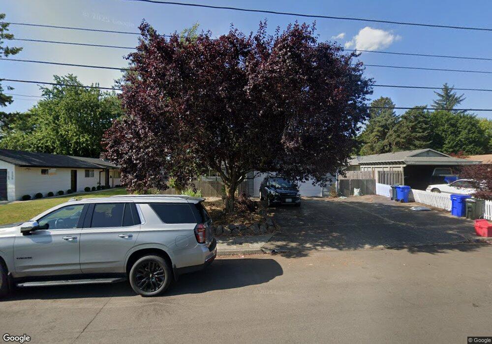
1185 SE 5th St Unit 1195 Gresham, OR 97080
Historic Southeast NeighborhoodEstimated Value: $455,107 - $506,000
4
Beds
2
Baths
1,802
Sq Ft
$268/Sq Ft
Est. Value
About This Home
This home is located at 1185 SE 5th St Unit 1195, Gresham, OR 97080 and is currently estimated at $483,777, approximately $268 per square foot. 1185 SE 5th St Unit 1195 is a home located in Multnomah County with nearby schools including East Gresham Elementary School, Dexter McCarty Middle School, and Gresham High School.
Ownership History
Date
Name
Owned For
Owner Type
Purchase Details
Closed on
May 2, 2002
Sold by
Pearson Robert F
Bought by
Burress Geoffrey S
Current Estimated Value
Home Financials for this Owner
Home Financials are based on the most recent Mortgage that was taken out on this home.
Original Mortgage
$128,000
Outstanding Balance
$53,188
Interest Rate
7.13%
Mortgage Type
Purchase Money Mortgage
Estimated Equity
$430,589
Create a Home Valuation Report for This Property
The Home Valuation Report is an in-depth analysis detailing your home's value as well as a comparison with similar homes in the area
Home Values in the Area
Average Home Value in this Area
Purchase History
| Date | Buyer | Sale Price | Title Company |
|---|---|---|---|
| Burress Geoffrey S | $160,000 | Ticor Title Insurance Compan |
Source: Public Records
Mortgage History
| Date | Status | Borrower | Loan Amount |
|---|---|---|---|
| Open | Burress Geoffrey S | $128,000 | |
| Closed | Burress Geoffrey S | $32,000 |
Source: Public Records
Tax History
| Year | Tax Paid | Tax Assessment Tax Assessment Total Assessment is a certain percentage of the fair market value that is determined by local assessors to be the total taxable value of land and additions on the property. | Land | Improvement |
|---|---|---|---|---|
| 2025 | $5,331 | $261,990 | -- | -- |
| 2024 | $5,103 | $254,360 | -- | -- |
| 2023 | $4,650 | $246,960 | $0 | $0 |
| 2022 | $4,520 | $239,770 | $0 | $0 |
| 2021 | $4,406 | $232,790 | $0 | $0 |
| 2020 | $4,145 | $226,010 | $0 | $0 |
| 2019 | $4,037 | $219,430 | $0 | $0 |
| 2018 | $3,849 | $213,040 | $0 | $0 |
| 2017 | $3,693 | $206,840 | $0 | $0 |
| 2016 | $3,256 | $200,820 | $0 | $0 |
Source: Public Records
Map
Nearby Homes
- 329 SE Linden Ct
- 4740 SE 2nd St
- 4764 SE 2nd St
- 4667 SE 2nd St
- 1700 SE 4th St
- 450 SE Hogan Rd
- 234 NE Cleveland Ave
- 415 SE Roberts Ave
- 0 NE 6th St
- 1949 SE Palmquist Rd Unit 51
- 1949 SE Palmquist Rd Unit 91
- 1949 SE Palmquist Rd Unit 121
- 491 NE Elliott Ave
- 732 SE Rene Ave
- 511 SE 15th St
- 318 NE Roberts Ave Unit 308
- 318 NE Roberts Ave Unit 203
- 210 NE 5th St
- 1414 SE Beech Place
- 894 NE Linden Ave
- 1165 SE 5th St Unit 1175
- 1205 SE 5th St Unit 1215
- 1145 SE 5th St Unit 1155
- 1235 SE 5th St Unit 1255
- 1124 SE 4th St
- 1104 SE 4th St
- 1105 SE 5th St Unit 1115
- 1257 SE 5th St Unit 1265
- 1128 SE 4th St
- 1010 SE 4th St Unit 1020
- 1210 SE 4th St
- 1285 SE 5th St
- 1275 SE 5th St Unit 1285
- 944 SE 4th St
- 1220 SE 4th St
- 1305 SE 5th St Unit 1315
- 1105 SE 4th St Unit 1107
- SE 4th St
- 0 SE 4th St
- 940 SE 4th St
Your Personal Tour Guide
Ask me questions while you tour the home.