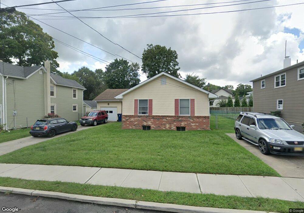
119 1st Ave Hightstown, NJ 08520
Estimated Value: $438,641 - $516,000
About This Home
This home is located at 119 1st Ave, Hightstown, NJ 08520 and is currently estimated at $478,410, approximately $366 per square foot. 119 1st Ave is a home located in Mercer County with nearby schools including Melvin H. Kreps Middle School, Hightstown High School, and SciCore Academy.
Ownership History
We collect this data history from publicly available records. To have your information removed, we recommend requesting removal directly through your county’s website.
Purchase Details
Home Financials for this Owner
Home Financials are based on the most recent Mortgage that was taken out on this home.Purchase Details
Home Values in the Area
Average Home Value in this Area
Purchase History
We collect this data history from publicly available records. To have your information removed, we recommend requesting removal directly through your county’s website.
| Date | Buyer | Sale Price | Title Company |
|---|---|---|---|
| -- | -- | ||
| -- | -- |
Mortgage History
We collect this data history from publicly available records. To have your information removed, we recommend requesting removal directly through your county’s website.
| Date | Status | Borrower | Loan Amount |
|---|---|---|---|
| Closed | -- |
Tax History
We collect this data history from publicly available records. To have your information removed, we recommend requesting removal directly through your county’s website.
| Year | Tax Paid | Tax Assessment Tax Assessment Total Assessment is a certain percentage of the fair market value that is determined by local assessors to be the total taxable value of land and additions on the property. | Land | Improvement |
|---|---|---|---|---|
| 2025 | $10,159 | $207,200 | $72,400 | $134,800 |
| 2024 | $10,055 | $207,200 | $72,400 | $134,800 |
| 2023 | $10,055 | $207,200 | $72,400 | $134,800 |
| 2022 | $9,707 | $207,200 | $72,400 | $134,800 |
| 2021 | $9,357 | $207,200 | $72,400 | $134,800 |
| 2020 | $8,894 | $207,200 | $72,400 | $134,800 |
| 2019 | $8,889 | $207,200 | $72,400 | $134,800 |
| 2018 | $8,630 | $207,200 | $72,400 | $134,800 |
| 2017 | $8,541 | $207,200 | $72,400 | $134,800 |
| 2016 | $8,466 | $207,200 | $72,400 | $134,800 |
| 2015 | $8,162 | $207,200 | $72,400 | $134,800 |
| 2014 | $8,216 | $207,200 | $72,400 | $134,800 |
Map
- 305 Stockton St
- 336 Stockton St
- 365 Stockton St
- 141 Stockton St
- 302 S Main St
- 309 Lincoln Ave
- 113 Dutch Neck Rd
- 18 Geraldine Rd
- 4 Rocky Brook Ct
- 246 Franklin St
- 220 A Wilson Ave
- 421 N Main St
- 244 Sunset Ave
- 65 Allison Rd
- 25 Sandstone Rd
- 344 Monmouth St
- 216 Sunset Ave
- 10 Fryer Ct
- 3 Leshin Ln
- 102 Teal Ct
- 122 Morrison Ave
- 126 Morrison Ave
- 118 Morrison Ave
- 132 Morrison Ave
- 112 Morrison Ave Unit 114
- 117 1st Ave
- 113 1st Ave
- 150 Outcalt St
- 108 Morrison Ave
- 148 Outcalt St
- 121 1st Ave
- 115 Morrison Ave
- 111 Morrison Ave
- 146 Outcalt St
- 123 Morrison Ave
- 142 Outcalt St
- 143 Center St
- 100 Morrison Ave Unit 102
- 151 Outcalt St
- 131 Morrison Ave
Ask me questions while you tour the home.