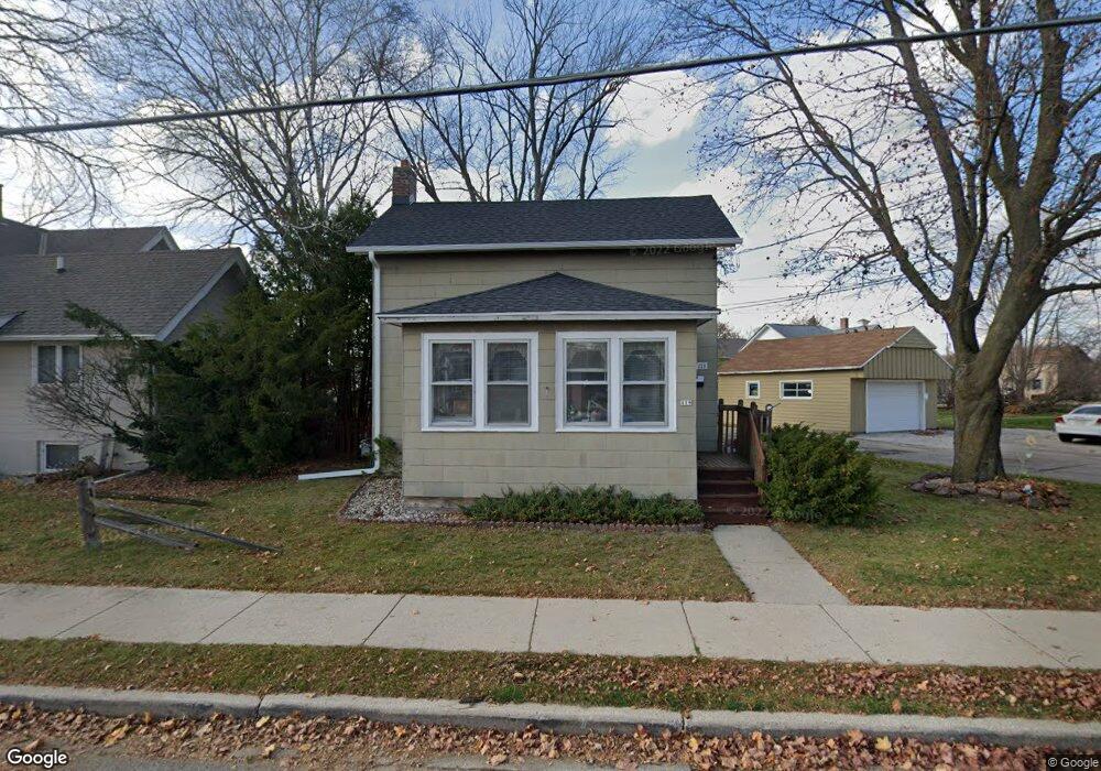
119 Clark St Pewaukee, WI 53072
Estimated Value: $294,125 - $385,000
Studio
--
Bath
--
Sq Ft
8,276
Sq Ft Lot Lot
About This Home
This home is located at 119 Clark St, Pewaukee, WI 53072 and is currently estimated at $344,031. 119 Clark St is a home located in Waukesha County with nearby schools including Pewaukee Lake Elementary School, Asa Clark Middle School, and Pewaukee High School.
Ownership History
Date
Name
Owned For
Owner Type
Purchase Details
Closed on
Jul 27, 2001
Sold by
Teronde Jeffrey G and Teronde Marcia M
Bought by
Braun James R
Current Estimated Value
Home Financials for this Owner
Home Financials are based on the most recent Mortgage that was taken out on this home.
Original Mortgage
$126,825
Interest Rate
7.03%
Mortgage Type
Purchase Money Mortgage
Purchase Details
Closed on
Jun 20, 1997
Sold by
Vassar Daniel R and Vassar Julie K
Bought by
Teronde Jeffrey G and Teronde Marcia M
Home Financials for this Owner
Home Financials are based on the most recent Mortgage that was taken out on this home.
Original Mortgage
$109,250
Interest Rate
8%
Mortgage Type
Purchase Money Mortgage
Create a Home Valuation Report for This Property
The Home Valuation Report is an in-depth analysis detailing your home's value as well as a comparison with similar homes in the area
Home Values in the Area
Average Home Value in this Area
Purchase History
We collect this data history from publicly available records. To have your information removed, we recommend requesting removal directly through your county’s website.
| Date | Buyer | Sale Price | Title Company |
|---|---|---|---|
| Braun James R | $133,500 | -- | |
| Teronde Jeffrey G | $115,000 | -- |
Source: Public Records
Mortgage History
We collect this data history from publicly available records. To have your information removed, we recommend requesting removal directly through your county’s website.
| Date | Status | Borrower | Loan Amount |
|---|---|---|---|
| Previous Owner | Braun James R | $126,825 | |
| Previous Owner | Teronde Jeffrey G | $109,250 |
Source: Public Records
Tax History
| Year | Tax Paid | Tax Assessment Tax Assessment Total Assessment is a certain percentage of the fair market value that is determined by local assessors to be the total taxable value of land and additions on the property. | Land | Improvement |
|---|---|---|---|---|
| 2024 | $2,693 | $238,100 | $60,000 | $178,100 |
| 2023 | $2,511 | $205,400 | $50,500 | $154,900 |
| 2022 | $2,569 | $205,400 | $50,500 | $154,900 |
| 2021 | $2,269 | $172,200 | $42,000 | $130,200 |
| 2020 | $2,521 | $172,200 | $42,000 | $130,200 |
| 2019 | $2,405 | $172,200 | $42,000 | $130,200 |
| 2018 | $2,165 | $156,000 | $40,000 | $116,000 |
| 2017 | $2,239 | $156,000 | $40,000 | $116,000 |
| 2016 | $2,320 | $144,700 | $33,500 | $111,200 |
| 2015 | $2,334 | $144,700 | $33,500 | $111,200 |
| 2014 | $1,905 | $144,700 | $33,500 | $111,200 |
| 2013 | $1,905 | $105,400 | $33,500 | $71,900 |
Source: Public Records
Map
Nearby Homes
- 316 Oakton Ave
- W226N1933 Cedar Court Ct Unit 202
- W226N2020 Cedar Lane Ln Unit 1002
- W226N2020 Cedar Lane Ln Unit 1004
- W226N2020 Cedar Lane Ln Unit 1003
- 100 Main St Unit 204
- 100 Main St Unit 105
- 384 Park Hill Dr Unit E
- 369 Evergreen Ln
- 152 Westfield Way Unit G
- 394 Sandy Cir
- 450 Sandy Cir
- 327 Sandy Cir
- 339 Sandy Cir
- 1031 Waterstone Ct
- 1044 Waterstone Ct
- 1106 Oxbow Ct
- 616 Kopmeier Dr
- 1215 Timber Ridge
- N28W25285 Madeline Blvd Unit A Bldg 14 Unit 52
Your Personal Tour Guide
Ask me questions while you tour the home.