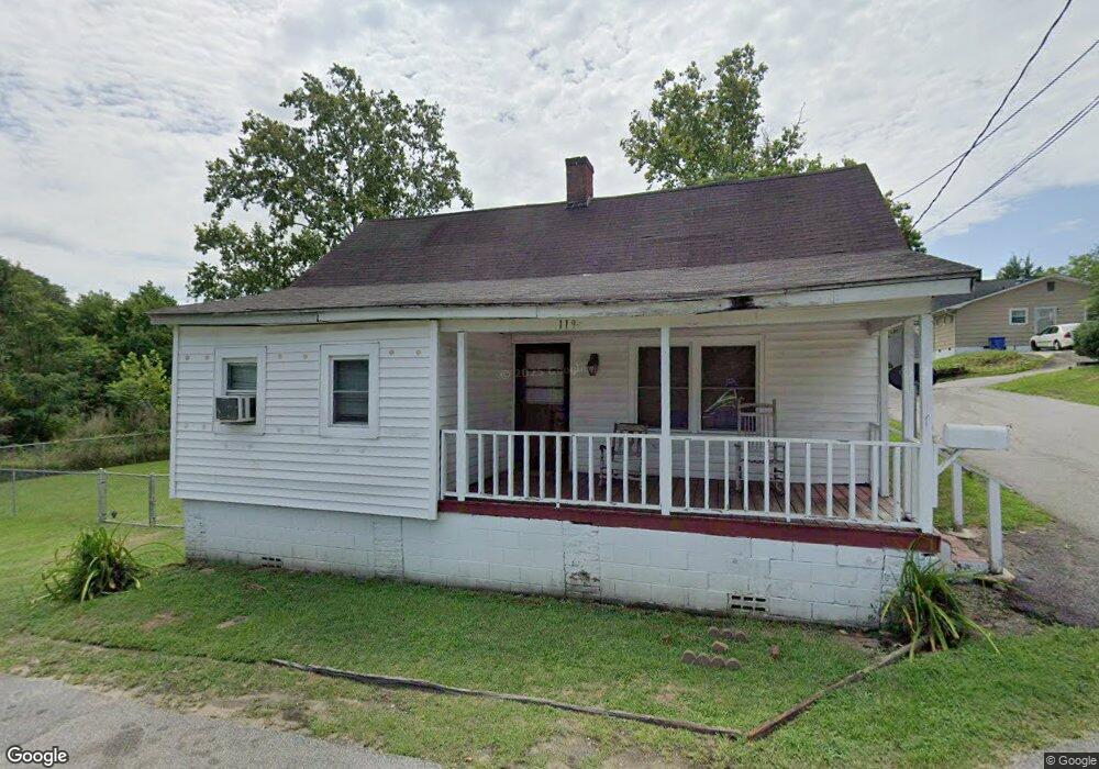
119 Fleming St Darlington, SC 29532
Estimated Value: $54,000 - $89,000
2
Beds
1
Bath
1,082
Sq Ft
$64/Sq Ft
Est. Value
About This Home
This home is located at 119 Fleming St, Darlington, SC 29532 and is currently estimated at $68,769, approximately $63 per square foot. 119 Fleming St is a home located in Darlington County with nearby schools including St. Johns Elementary School, Darlington Middle School, and Darlington High School.
Ownership History
Date
Name
Owned For
Owner Type
Purchase Details
Closed on
Aug 25, 2022
Sold by
Bn2019 Llc
Bought by
Bering Properties Llc
Current Estimated Value
Purchase Details
Closed on
Jan 20, 2021
Sold by
Boer Ed
Bought by
Malcolm House
Purchase Details
Closed on
Mar 17, 2020
Sold by
Helen Burch Mae
Bought by
Bn2019 Llc
Purchase Details
Closed on
Mar 20, 2019
Sold by
Pensco Trust Co
Bought by
Boer Ed
Purchase Details
Closed on
Sep 24, 2014
Sold by
Rhs Wip Investors Llc
Bought by
Pesncot Trust Company and Jeffery D Hermann Individual Retirement
Purchase Details
Closed on
Aug 1, 2013
Sold by
Our Castle Homeowners Fund Ii Llc
Bought by
Rhs Wip Investors Llc
Create a Home Valuation Report for This Property
The Home Valuation Report is an in-depth analysis detailing your home's value as well as a comparison with similar homes in the area
Home Values in the Area
Average Home Value in this Area
Purchase History
| Date | Buyer | Sale Price | Title Company |
|---|---|---|---|
| Bering Properties Llc | $46,176 | Haynsworth Sinkler Boyd Pa | |
| Malcolm House | $800 | None Available | |
| Bn2019 Llc | $9,000 | None Listed On Document | |
| Boer Ed | $2,100 | None Available | |
| Pesncot Trust Company | $23,550 | -- | |
| Rhs Wip Investors Llc | $38,300 | -- |
Source: Public Records
Tax History
| Year | Tax Paid | Tax Assessment Tax Assessment Total Assessment is a certain percentage of the fair market value that is determined by local assessors to be the total taxable value of land and additions on the property. | Land | Improvement |
|---|---|---|---|---|
| 2025 | $601 | $1,270 | $0 | $0 |
| 2024 | $6 | $1,270 | $0 | $0 |
| 2023 | $211 | $1,270 | $0 | $0 |
| 2022 | $211 | $1,270 | $0 | $0 |
| 2021 | $211 | $840 | $240 | $600 |
| 2020 | $550 | $1,270 | $0 | $0 |
| 2019 | $581 | $1,340 | $0 | $0 |
| 2018 | $537 | $1,270 | $360 | $910 |
| 2017 | $515 | $1,270 | $360 | $910 |
| 2016 | $482 | $1,270 | $360 | $910 |
Source: Public Records
Map
Nearby Homes
- 1011 Pearl St
- 0 Harry Byrd Hwy
- 218 Davis St
- TBD Lamar Hwy
- TBD N Governor Williams Hwy 4 24ac
- 4757 Northpark Dr
- 2123 S Fork Dr
- 4733 Northpark Dr
- 305 Wells St
- 527 Stanley Cir
- 237 W Broad St
- 120 Saint Johns St
- 0 Stanley Cir
- Lot 14 Wildshall Rd
- 508 Elm St
- 510 Peach St
- 617 Weaver St
- S Governor Williams Hwy
- 200 Southern Pine St
- 608 Wood Duck Dr
Your Personal Tour Guide
Ask me questions while you tour the home.