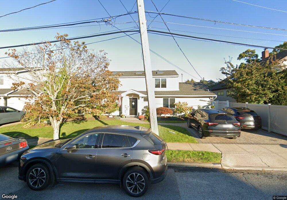
119 Hampton Way Merrick, NY 11566
Merrick AreaEstimated Value: $821,122 - $1,176,000
About This Home
This home is located at 119 Hampton Way, Merrick, NY 11566 and is currently estimated at $998,561, approximately $454 per square foot. 119 Hampton Way is a home located in Nassau County with nearby schools including Merrick Avenue Middle School, John F. Kennedy High School, and St. Elizabeth Ann Seton Regional School.
Ownership History
We collect this data history from publicly available records. To have your information removed, we recommend requesting removal directly through your county’s website.
Purchase Details
Purchase Details
Home Values in the Area
Average Home Value in this Area
Purchase History
We collect this data history from publicly available records. To have your information removed, we recommend requesting removal directly through your county’s website.
| Date | Buyer | Sale Price | Title Company |
|---|---|---|---|
| -- | Metropolitan Abstract Corp | ||
| $165,000 | -- |
Tax History
We collect this data history from publicly available records. To have your information removed, we recommend requesting removal directly through your county’s website.
| Year | Tax Paid | Tax Assessment Tax Assessment Total Assessment is a certain percentage of the fair market value that is determined by local assessors to be the total taxable value of land and additions on the property. | Land | Improvement |
|---|---|---|---|---|
| 2026 | $16,392 | $501 | $258 | $243 |
| 2025 | $16,392 | $540 | $278 | $262 |
| 2024 | $3,628 | $526 | $270 | $256 |
| 2023 | $14,237 | $562 | $289 | $273 |
| 2022 | $14,237 | $556 | $289 | $267 |
| 2021 | $18,377 | $525 | $270 | $255 |
| 2020 | $12,219 | $688 | $642 | $46 |
| 2019 | $11,603 | $688 | $602 | $86 |
| 2018 | $10,808 | $734 | $0 | $0 |
| 2017 | $7,549 | $780 | $543 | $237 |
| 2016 | $10,887 | $747 | $635 | $112 |
| 2015 | $3,127 | $788 | $609 | $179 |
| 2014 | $3,127 | $788 | $609 | $179 |
| 2013 | $3,117 | $830 | $642 | $188 |
Map
- 9 Avenue C
- 327 Wynsum Ave
- 2829 Frankel Blvd
- 315 Wynsum Ave
- 2667 Wynsum Ave
- 2716 Hewlett Ave
- 2105 Holland Way
- 2920 Judith Dr
- 2064 Oliver Way
- 2845 Whaleneck Dr
- 2077 Byron Rd
- 66 Kenny Ave
- 2006 Norshon Rd
- 217 Bayview Ave
- 72 Lake End Rd
- 2635 Merrick Ave
- 2450 Florin Ct
- 2457 Williams Ct
- 2961 Hewlett Ave
- 2462 Marine Place
- 2765 Wynsum Ave
- 2759 Wynsum Ave
- 2771 Wynsum Ave
- 396 Frankel Blvd
- 390 Frankel Blvd
- 2753 Wynsum Ave
- 2768 Frankel Blvd
- 2752 Frankel Blvd
- 2779 Wynsum Ave
- 2150 Hampton Way
- 404 Frankel Blvd
- 2768 Wynsum Ave
- 2745 Wynsum Ave
- 2754 Wynsum Ave
- 378 Frankel Blvd
- 2149 Shoreham Way
- 2786 Frankel Blvd
- 397 Wynsum Ave
- 118 Hampton Way
- 2737 Wynsum Ave
Ask me questions while you tour the home.