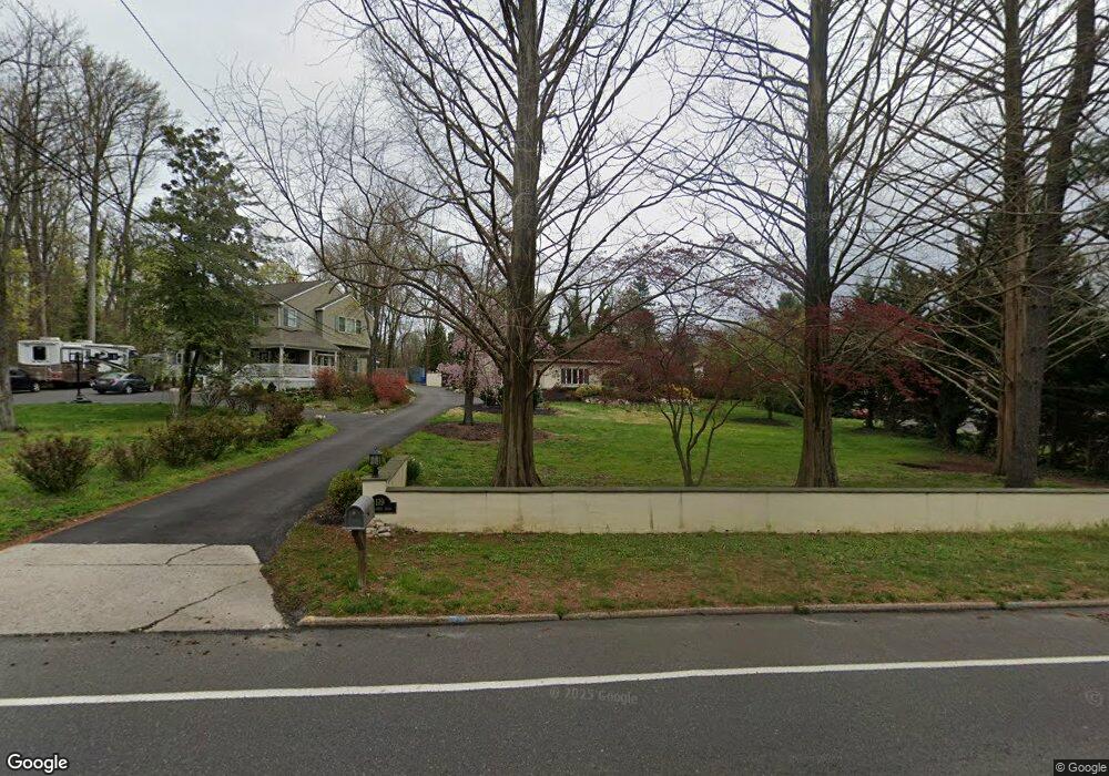
119 Mount Laurel Rd Moorestown, NJ 08057
Estimated Value: $605,000 - $698,000
3
Beds
2
Baths
1,905
Sq Ft
$345/Sq Ft
Est. Value
About This Home
This home is located at 119 Mount Laurel Rd, Moorestown, NJ 08057 and is currently estimated at $656,675, approximately $344 per square foot. 119 Mount Laurel Rd is a home located in Burlington County with nearby schools including South Valley Elementary School, Moorestown Upper Elementary School, and William Allen Middle School.
Ownership History
Date
Name
Owned For
Owner Type
Purchase Details
Closed on
May 14, 2010
Sold by
Paparone Michael
Bought by
Paparone Michael and Paparone Jennifer B
Current Estimated Value
Purchase Details
Closed on
Dec 30, 2009
Sold by
New Jersey Home Construction Inc
Bought by
Paparone Michael J
Home Financials for this Owner
Home Financials are based on the most recent Mortgage that was taken out on this home.
Original Mortgage
$228,000
Outstanding Balance
$145,975
Interest Rate
4.78%
Mortgage Type
New Conventional
Estimated Equity
$510,700
Purchase Details
Closed on
Jul 20, 2009
Sold by
Dimedio Silvio J
Bought by
New Jersey Home Construction Inc
Purchase Details
Closed on
Aug 5, 1996
Sold by
Hanson J Robert and Hanson Mary Leigh
Bought by
Dimedio Silvio J
Create a Home Valuation Report for This Property
The Home Valuation Report is an in-depth analysis detailing your home's value as well as a comparison with similar homes in the area
Home Values in the Area
Average Home Value in this Area
Purchase History
We collect this data history from publicly available records. To have your information removed, we recommend requesting removal directly through your county’s website.
| Date | Buyer | Sale Price | Title Company |
|---|---|---|---|
| Paparone Michael | -- | None Available | |
| Paparone Michael J | $285,000 | Foundation Title | |
| New Jersey Home Construction Inc | $211,400 | Land Title Services Of Nj | |
| Dimedio Silvio J | $230,000 | -- |
Source: Public Records
Mortgage History
We collect this data history from publicly available records. To have your information removed, we recommend requesting removal directly through your county’s website.
| Date | Status | Borrower | Loan Amount |
|---|---|---|---|
| Open | Paparone Michael J | $228,000 |
Source: Public Records
Tax History
| Year | Tax Paid | Tax Assessment Tax Assessment Total Assessment is a certain percentage of the fair market value that is determined by local assessors to be the total taxable value of land and additions on the property. | Land | Improvement |
|---|---|---|---|---|
| 2025 | $9,830 | $346,500 | $225,900 | $120,600 |
| 2024 | $9,532 | $346,500 | $225,900 | $120,600 |
| 2023 | $9,532 | $346,500 | $225,900 | $120,600 |
| 2022 | $9,435 | $346,500 | $225,900 | $120,600 |
| 2021 | $9,310 | $346,500 | $225,900 | $120,600 |
| 2020 | $9,252 | $346,500 | $225,900 | $120,600 |
| 2019 | $9,089 | $346,500 | $225,900 | $120,600 |
| 2018 | $8,843 | $346,500 | $225,900 | $120,600 |
| 2017 | $8,919 | $346,500 | $225,900 | $120,600 |
| 2016 | $8,888 | $346,500 | $225,900 | $120,600 |
| 2015 | $8,780 | $346,500 | $225,900 | $120,600 |
| 2014 | $8,337 | $346,500 | $225,900 | $120,600 |
Source: Public Records
Map
Nearby Homes
- 308 Elm St
- 133 Plum St Unit 6
- 129 Plum St Unit C4
- 396 E Linden St
- 140 E Central Ave
- 66 E 3rd St
- 205 E Central Ave
- 11 Mount Laurel Rd
- 420 Toll House Ln
- 429 E 2nd St
- 210 E Oak Ave
- 15 E 2nd St
- 10 E Sutton Ave
- 10 Michaelson Dr
- 408 N Stanwick Rd
- 201 E Oak Ave
- 500 Chester Ave
- 213 S Church St
- 129 S Church St
- 192 Canterbury Rd
- 121 Mount Laurel Rd
- 117 Mount Laurel Rd
- 115 Mount Laurel Rd
- 113 Mount Laurel Rd
- 123 Mount Laurel Rd
- 200 Laurence Dr
- 109 Mount Laurel Rd
- 201 Mount Laurel Rd
- 224 Gregory Ct
- 204 Laurence Dr
- 228 Gregory Ct
- 208 Laurence Dr
- 220 E Main St
- 232 Gregory Ct
- 210 E Main St
- 220 Gregory Ct
- 232 E Main St
- 224 E Main St
- 212 Laurence Dr
- 205 Laurence Dr
Your Personal Tour Guide
Ask me questions while you tour the home.