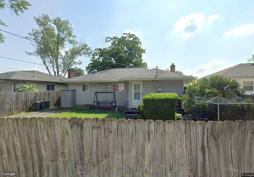
119 Oxley Rd Columbus, OH 43228
Estimated Value: $200,482 - $227,000
3
Beds
2
Baths
1,080
Sq Ft
$197/Sq Ft
Est. Value
About This Home
This home is located at 119 Oxley Rd, Columbus, OH 43228 and is currently estimated at $213,121, approximately $197 per square foot. 119 Oxley Rd is a home located in Franklin County with nearby schools including Prairie Norton Elementary School, Galloway Ridge Intermediate School, and Norton Middle School.
Ownership History
Date
Name
Owned For
Owner Type
Purchase Details
Closed on
Oct 5, 1995
Sold by
Kress Melanie L
Bought by
Britton Walter S and Britton Frances
Current Estimated Value
Home Financials for this Owner
Home Financials are based on the most recent Mortgage that was taken out on this home.
Original Mortgage
$59,765
Interest Rate
7.91%
Mortgage Type
FHA
Purchase Details
Closed on
Mar 29, 1993
Purchase Details
Closed on
May 1, 1984
Create a Home Valuation Report for This Property
The Home Valuation Report is an in-depth analysis detailing your home's value as well as a comparison with similar homes in the area
Home Values in the Area
Average Home Value in this Area
Purchase History
We collect this data history from publicly available records. To have your information removed, we recommend requesting removal directly through your county’s website.
| Date | Buyer | Sale Price | Title Company |
|---|---|---|---|
| Britton Walter S | $60,000 | -- | |
| -- | -- | -- | |
| -- | -- | -- |
Source: Public Records
Mortgage History
We collect this data history from publicly available records. To have your information removed, we recommend requesting removal directly through your county’s website.
| Date | Status | Borrower | Loan Amount |
|---|---|---|---|
| Closed | Britton Walter S | $59,765 |
Source: Public Records
Tax History
| Year | Tax Paid | Tax Assessment Tax Assessment Total Assessment is a certain percentage of the fair market value that is determined by local assessors to be the total taxable value of land and additions on the property. | Land | Improvement |
|---|---|---|---|---|
| 2025 | $2,478 | $55,090 | $13,860 | $41,230 |
| 2024 | $2,478 | $55,090 | $13,860 | $41,230 |
| 2023 | $2,365 | $55,090 | $13,860 | $41,230 |
| 2022 | $1,733 | $28,360 | $2,840 | $25,520 |
| 2021 | $1,761 | $28,360 | $2,840 | $25,520 |
| 2020 | $1,753 | $28,360 | $2,840 | $25,520 |
| 2019 | $1,674 | $23,660 | $2,380 | $21,280 |
| 2018 | $1,665 | $23,660 | $2,380 | $21,280 |
| 2017 | $1,619 | $23,660 | $2,380 | $21,280 |
| 2016 | $1,660 | $22,720 | $4,760 | $17,960 |
| 2015 | $1,660 | $22,720 | $4,760 | $17,960 |
| 2014 | $1,661 | $22,720 | $4,760 | $17,960 |
| 2013 | $967 | $26,740 | $5,600 | $21,140 |
Source: Public Records
Map
Nearby Homes
- 126 Oxley Rd
- 125 Postle Blvd
- 56 Fernhill Ave
- 233 Postle Blvd
- 318 Postle Blvd
- 324 Postle Blvd
- 5183 Baker Ridge Dr
- 23 Buena Vista Ave
- 400 Evergreen Terrace
- 4743 Stiles Ave
- 387 Daytona Rd
- 4681 Henley Ave
- 93 Buena Vista Ave
- 97 Tarryton Ct W Unit 19-H
- 4723 Tarryton Ct S Unit 14-E
- 5480 Avonhurst Ct
- 4696 Tarryton Ct S Unit 7-3F
- 159 Pasadena Ave
- 150 Lennox Ave
- 305 Danhurst Rd
Your Personal Tour Guide
Ask me questions while you tour the home.