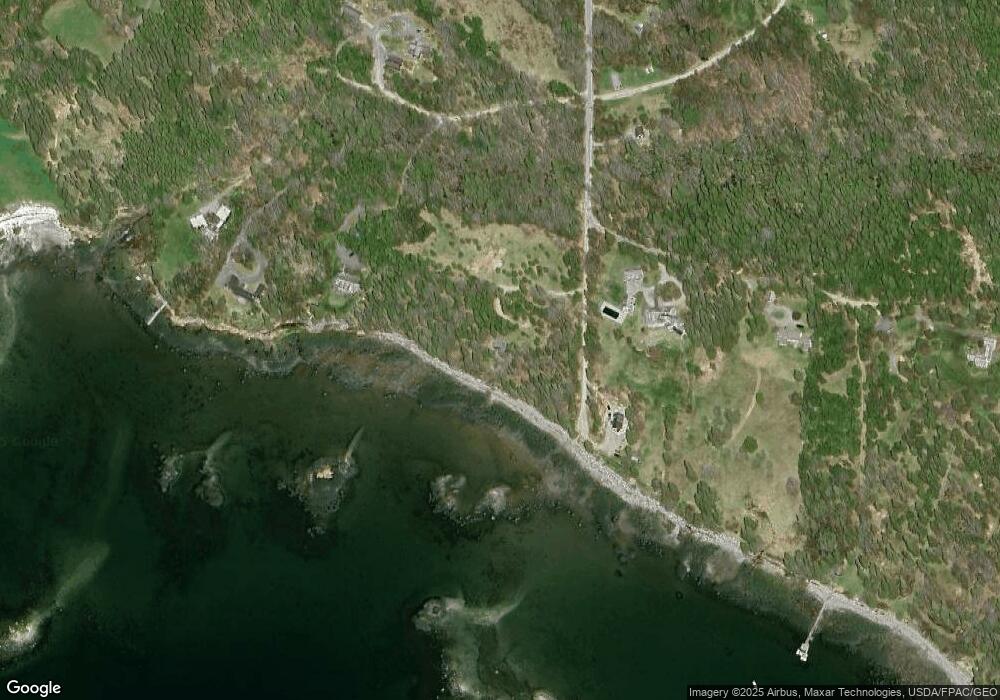
119 Pooduck Rd Brooklin, ME 04616
Estimated Value: $475,000 - $1,105,457
1
Bed
1
Bath
608
Sq Ft
$1,300/Sq Ft
Est. Value
About This Home
This home is located at 119 Pooduck Rd, Brooklin, ME 04616 and is currently estimated at $790,229, approximately $1,299 per square foot. 119 Pooduck Rd is a home with nearby schools including Brooklin School.
Create a Home Valuation Report for This Property
The Home Valuation Report is an in-depth analysis detailing your home's value as well as a comparison with similar homes in the area
Tax History
| Year | Tax Paid | Tax Assessment Tax Assessment Total Assessment is a certain percentage of the fair market value that is determined by local assessors to be the total taxable value of land and additions on the property. | Land | Improvement |
|---|---|---|---|---|
| 2025 | $9,189 | $1,163,200 | $971,300 | $191,900 |
| 2024 | $8,491 | $1,163,200 | $971,300 | $191,900 |
| 2023 | $8,061 | $1,104,300 | $971,300 | $133,000 |
| 2022 | $7,872 | $1,063,800 | $947,500 | $116,300 |
| 2021 | $8,053 | $1,063,800 | $947,500 | $116,300 |
| 2020 | $7,766 | $1,063,800 | $947,500 | $116,300 |
| 2019 | $7,729 | $1,037,400 | $947,500 | $89,900 |
| 2018 | $7,677 | $1,037,400 | $947,500 | $89,900 |
| 2017 | $7,573 | $1,037,400 | $947,500 | $89,900 |
| 2016 | $7,469 | $1,037,400 | $947,500 | $89,900 |
| 2015 | $7,469 | $1,037,400 | $947,500 | $89,900 |
| 2014 | $7,469 | $1,037,400 | $947,500 | $89,900 |
| 2013 | $6,847 | $1,037,400 | $947,500 | $89,900 |
Source: Public Records
Map
Nearby Homes
- 00 Periwinkle Ln
- 0 Flye Point Unit Lot 3
- 392 Bay Rd
- 111 Old Place Rd
- 75 Old Cove Ln
- 9 River Rd Unit Lot 6
- 9 River Rd Unit Lot 3
- 17 E Side Rd
- 13 Mcmullen Ave
- 36 Greenlaw District Rd
- 2 Bar Island
- 70 Owens Way
- 36 Treasure Ln
- 0 Quaco Rd Unit 1625807
- 284 Christy Hill Rd
- 684 Falls Bridge Rd
- 005-054 Bridge St
- 138 Caterpillar Hill Rd
- 5 Oceanville Rd
- M3L66&66-2 Sunset Cross Rd
Your Personal Tour Guide
Ask me questions while you tour the home.