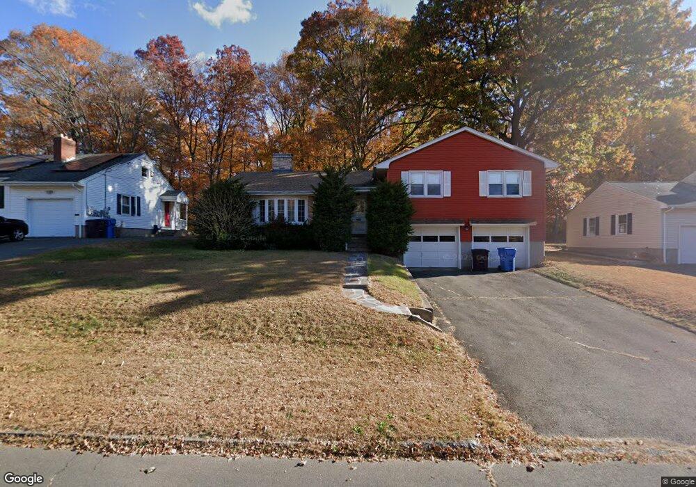
119 Robindale Dr New Britain, CT 06053
Estimated Value: $369,000 - $431,000
About This Home
This home is located at 119 Robindale Dr, New Britain, CT 06053 and is currently estimated at $388,175, approximately $199 per square foot. 119 Robindale Dr is a home located in Hartford County with nearby schools including Gaffney School, Slade Middle School, and Mountain Laurel Sudbury School.
Ownership History
We collect this data history from publicly available records. To have your information removed, we recommend requesting removal directly through your county’s website.
Purchase Details
Home Financials for this Owner
Home Financials are based on the most recent Mortgage that was taken out on this home.Home Values in the Area
Average Home Value in this Area
Purchase History
We collect this data history from publicly available records. To have your information removed, we recommend requesting removal directly through your county’s website.
| Date | Buyer | Sale Price | Title Company |
|---|---|---|---|
| $209,000 | -- |
Mortgage History
We collect this data history from publicly available records. To have your information removed, we recommend requesting removal directly through your county’s website.
| Date | Status | Borrower | Loan Amount |
|---|---|---|---|
| Open | $167,200 |
Tax History
We collect this data history from publicly available records. To have your information removed, we recommend requesting removal directly through your county’s website.
| Year | Tax Paid | Tax Assessment Tax Assessment Total Assessment is a certain percentage of the fair market value that is determined by local assessors to be the total taxable value of land and additions on the property. | Land | Improvement |
|---|---|---|---|---|
| 2025 | $7,290 | $186,060 | $77,280 | $108,780 |
| 2024 | $7,366 | $186,060 | $77,280 | $108,780 |
| 2023 | $7,122 | $186,060 | $77,280 | $108,780 |
| 2022 | $6,812 | $137,620 | $35,630 | $101,990 |
| 2021 | $6,812 | $137,620 | $35,630 | $101,990 |
| 2020 | $6,950 | $137,620 | $35,630 | $101,990 |
| 2019 | $6,950 | $137,620 | $35,630 | $101,990 |
| 2018 | $6,950 | $137,620 | $35,630 | $101,990 |
| 2017 | $5,921 | $117,250 | $29,680 | $87,570 |
| 2016 | $5,921 | $117,250 | $29,680 | $87,570 |
| 2015 | $5,745 | $117,250 | $29,680 | $87,570 |
| 2014 | $5,745 | $117,250 | $29,680 | $87,570 |
Map
- 540 Slater Rd
- 131 Torkom Dr
- 54 N Mountain Rd Unit 204
- 1812 Corbin Ave
- 16 Ardmore St
- 822 Slater Rd
- 31 Richard St
- 37 Richard St
- 383 Osgood Ave
- 2041 Corbin Ave
- 132 Neanda St
- 33 Colt St
- 376 Broad St
- 25 Clinton St
- 134 Golden Hill St
- 237 Burritt St
- 19 Homestead Ave
- 60 Garry Dr
- 224 Wooster St
- 201 Pierremount Ave Unit D
- 111 Robindale Dr
- 103 Robindale Dr
- 127 Robindale Dr
- 95 Robindale Dr
- 110 Robindale Dr
- 135 Robindale Dr
- 118 Robindale Dr
- 102 Robindale Dr
- 126 Robindale Dr
- 331 Hillhurst Ave
- 85 Robindale Dr
- 323 Hillhurst Ave
- 94 Robindale Dr
- 143 Robindale Dr
- 134 Robindale Dr
- 315 Hillhurst Ave
- 403 Hillhurst Ave
- 395 Hillhurst Ave
- 86 Robindale Dr
- 307 Hillhurst Ave
Ask me questions while you tour the home.