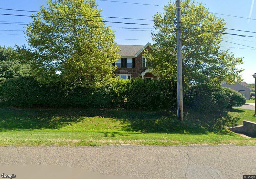
119 Scott Rd Perkasie, PA 18944
Estimated Value: $832,294 - $1,214,000
5
Beds
4
Baths
3,944
Sq Ft
$243/Sq Ft
Est. Value
About This Home
This home is located at 119 Scott Rd, Perkasie, PA 18944 and is currently estimated at $956,574, approximately $242 per square foot. 119 Scott Rd is a home located in Bucks County with nearby schools including Pennridge High School.
Ownership History
Date
Name
Owned For
Owner Type
Purchase Details
Closed on
May 6, 2010
Sold by
Vancamp James R and Vancamp Christine
Bought by
Vancamp James R and Vancamp Christine
Current Estimated Value
Purchase Details
Closed on
Jan 29, 2010
Sold by
Pennland Bedminster Lp
Bought by
Vancamp James R and Vancamp Christine
Home Financials for this Owner
Home Financials are based on the most recent Mortgage that was taken out on this home.
Original Mortgage
$160,000
Outstanding Balance
$105,999
Interest Rate
5.05%
Mortgage Type
New Conventional
Estimated Equity
$850,575
Create a Home Valuation Report for This Property
The Home Valuation Report is an in-depth analysis detailing your home's value as well as a comparison with similar homes in the area
Home Values in the Area
Average Home Value in this Area
Purchase History
We collect this data history from publicly available records. To have your information removed, we recommend requesting removal directly through your county’s website.
| Date | Buyer | Sale Price | Title Company |
|---|---|---|---|
| Vancamp James R | -- | None Available | |
| Vancamp James R | $494,900 | None Available |
Source: Public Records
Mortgage History
We collect this data history from publicly available records. To have your information removed, we recommend requesting removal directly through your county’s website.
| Date | Status | Borrower | Loan Amount |
|---|---|---|---|
| Open | Vancamp James R | $160,000 |
Source: Public Records
Tax History
| Year | Tax Paid | Tax Assessment Tax Assessment Total Assessment is a certain percentage of the fair market value that is determined by local assessors to be the total taxable value of land and additions on the property. | Land | Improvement |
|---|---|---|---|---|
| 2025 | $7,498 | $44,050 | $6,970 | $37,080 |
| 2024 | $7,498 | $44,050 | $6,970 | $37,080 |
| 2023 | $7,409 | $44,050 | $6,970 | $37,080 |
| 2022 | $7,409 | $44,050 | $6,970 | $37,080 |
| 2021 | $7,409 | $44,050 | $6,970 | $37,080 |
| 2020 | $7,409 | $44,050 | $6,970 | $37,080 |
| 2019 | $7,365 | $44,050 | $6,970 | $37,080 |
| 2018 | $7,365 | $44,050 | $6,970 | $37,080 |
| 2017 | $7,310 | $44,050 | $6,970 | $37,080 |
| 2016 | $7,310 | $44,050 | $6,970 | $37,080 |
| 2015 | -- | $44,050 | $6,970 | $37,080 |
| 2014 | -- | $44,050 | $6,970 | $37,080 |
Source: Public Records
Map
Nearby Homes
- 82 Scott Rd
- 316 Schadle Rd
- lot 11 Schadle Rd
- Lot 1 and 2 Twin Oaks Dr
- 125 Olde Pilgrim Rd
- 127 Allem Ln Unit 127
- 4 Stewer Ln
- 9 Blueberry Ln
- 10 Croft Dr
- 178 Elephant Rd Unit B13
- 178 Elephant Rd Unit 11
- 178 C28 Elephant Rd
- 3645 Applebutter Rd
- 172 Station Dr
- 133 Moyer Dr
- 158 Bishop Way
- 291 Elephant Rd
- 169 Marlyn Ln
- 226 Center Dr
- 204 Kulp Dr
- 1029 Landis Rush Dr
- 1027 Landis Rush Dr
- 1032 Landis Rush Dr
- 1034 Landis Rush Dr
- 1030 Landis Rush Dr
- 1025 Landis Rush Dr
- 1028 Landis Rush Dr
- 115 Scott Rd
- 1023 Landis Rush Dr
- 928 Angony Mills Dr
- 926 Angony Mills Dr
- 1021 Landis Rush Dr
- 924 Angony Mills Dr
- 147 Scott Rd
- 1019 Landis Rush Dr
- 922 Angony Mills Dr
- 1017 Landis Rush Dr
- 920 Angony Mills Dr
- 106 Scott Rd
- 1015 Landis Rush Dr
Your Personal Tour Guide
Ask me questions while you tour the home.