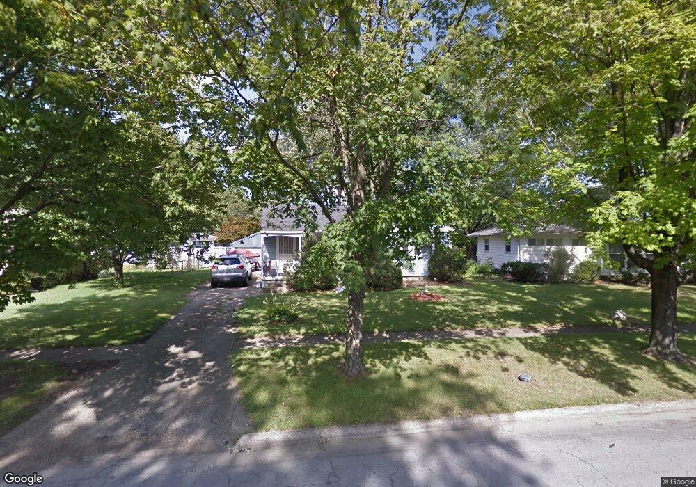
1190 Simpson Dr Columbus, OH 43227
Estimated Value: $147,000 - $196,000
About This Home
This home is located at 1190 Simpson Dr, Columbus, OH 43227 and is currently estimated at $167,837, approximately $184 per square foot. 1190 Simpson Dr is a home located in Franklin County with nearby schools including Shady Lane Elementary School, Sherwood Middle School, and Walnut Ridge High School.
Ownership History
We collect this data history from publicly available records. To have your information removed, we recommend requesting removal directly through your county’s website.
Purchase Details
Purchase Details
Home Financials for this Owner
Home Financials are based on the most recent Mortgage that was taken out on this home.Purchase Details
Purchase Details
Home Values in the Area
Average Home Value in this Area
Purchase History
We collect this data history from publicly available records. To have your information removed, we recommend requesting removal directly through your county’s website.
| Date | Buyer | Sale Price | Title Company |
|---|---|---|---|
| $130,000 | Title Connect | ||
| $63,000 | -- | ||
| $53,000 | -- | ||
| -- | -- |
Mortgage History
We collect this data history from publicly available records. To have your information removed, we recommend requesting removal directly through your county’s website.
| Date | Status | Borrower | Loan Amount |
|---|---|---|---|
| Previous Owner | $62,750 |
Tax History
We collect this data history from publicly available records. To have your information removed, we recommend requesting removal directly through your county’s website.
| Year | Tax Paid | Tax Assessment Tax Assessment Total Assessment is a certain percentage of the fair market value that is determined by local assessors to be the total taxable value of land and additions on the property. | Land | Improvement |
|---|---|---|---|---|
| 2025 | $2,085 | $45,500 | $16,590 | $28,910 |
| 2024 | $2,085 | $45,500 | $16,590 | $28,910 |
| 2023 | $2,587 | $57,155 | $16,590 | $40,565 |
| 2022 | $1,325 | $25,550 | $6,230 | $19,320 |
| 2021 | $1,328 | $25,550 | $6,230 | $19,320 |
| 2020 | $1,329 | $25,550 | $6,230 | $19,320 |
| 2019 | $1,240 | $20,440 | $4,970 | $15,470 |
| 2018 | $1,277 | $20,440 | $4,970 | $15,470 |
| 2017 | $1,345 | $20,440 | $4,970 | $15,470 |
| 2016 | $1,451 | $21,910 | $4,900 | $17,010 |
| 2015 | $1,318 | $21,910 | $4,900 | $17,010 |
| 2014 | $1,321 | $21,910 | $4,900 | $17,010 |
| 2013 | $767 | $25,795 | $5,775 | $20,020 |
Map
- 4530 Amesbury Rd
- 4700 Ludington Rd
- 1085 Shady Lane Rd
- 1264 Shady Lane Rd
- 1407 Simpson Dr
- 4467 Grimsby Rd
- 4829 Mcallister Ave
- 1301 Bernhard Rd
- 4260 E Mound St
- 4303 Colby Ave
- 1422 Benson Dr
- 1547 Duffield Dr
- 1567 Baxter Dr
- 844 Westphal Ave
- 1585 Shady Lane Rd
- 4615-4617 Langley Ave Unit 17
- 4991 Justin Rd
- 1167 Manfeld Dr
- 4626 Langley Ave
- 4956 Betsy Dr
- 1175 Simpson Dr
- 1169 Simpson Dr
- 1181 Simpson Dr
- 1196 Huntly Dr
- 1165 Simpson Dr
- 1202 Huntly Dr
- 1208 Huntly Dr
- 1192 Huntly Dr
- 1161 Simpson Dr
- 1199 Simpson Dr
- 1180 Simpson Dr
- 1166 Simpson Dr
- 1214 Huntly Dr
- 1162 Simpson Dr
- 1174 Maetzel Dr
- 1205 Simpson Dr
- 4568 Ludington Rd
- 1190 Huntly Dr
- 1156 Simpson Dr
- 1164 Maetzel Dr
Ask me questions while you tour the home.