11900 Illinois 47 Morris, IL 60450
Estimated Value: $555,997 - $1,198,000
Studio
--
Bath
--
Sq Ft
4.5
Acres Lot
About This Home
This home is located at 11900 Illinois 47, Morris, IL 60450 and is currently estimated at $818,999. 11900 Illinois 47 is a home located in Grundy County with nearby schools including Saratoga Elementary School and Morris Community High School.
Ownership History
Date
Name
Owned For
Owner Type
Purchase Details
Closed on
Nov 23, 2015
Sold by
Carol A Walker Living Trust and Walker Carol A
Bought by
Thompson Alice A
Current Estimated Value
Purchase Details
Closed on
Oct 1, 2015
Sold by
The Carol A Walker Living Trust and Walker Carol A
Bought by
Eleven 900 Llc
Purchase Details
Closed on
Jun 5, 2005
Sold by
Carol Ann Carol Ann
Bought by
Walker Carol A and Walker Richhard L
Create a Home Valuation Report for This Property
The Home Valuation Report is an in-depth analysis detailing your home's value as well as a comparison with similar homes in the area
Purchase History
We collect this data history from publicly available records. To have your information removed, we recommend requesting removal directly through your county’s website.
| Date | Buyer | Sale Price | Title Company |
|---|---|---|---|
| Thompson Alice A | -- | None Available | |
| Eleven 900 Llc | $675,000 | Chicago Title Insurance | |
| Walker Carol A | -- | -- |
Source: Public Records
Mortgage History
We collect this data history from publicly available records. To have your information removed, we recommend requesting removal directly through your county’s website.
| Date | Status | Borrower | Loan Amount |
|---|---|---|---|
| Closed | Eleven 900 Llc | $0 |
Source: Public Records
Tax History
| Year | Tax Paid | Tax Assessment Tax Assessment Total Assessment is a certain percentage of the fair market value that is determined by local assessors to be the total taxable value of land and additions on the property. | Land | Improvement |
|---|---|---|---|---|
| 2024 | $9,898 | $149,114 | $14,683 | $134,431 |
| 2023 | $9,304 | $140,171 | $13,802 | $126,369 |
| 2022 | $8,752 | $131,851 | $12,983 | $118,868 |
| 2021 | $8,282 | $123,433 | $12,154 | $111,279 |
| 2020 | $7,979 | $116,446 | $11,466 | $104,980 |
| 2019 | $7,913 | $116,446 | $11,466 | $104,980 |
| 2018 | $7,985 | $116,777 | $11,499 | $105,278 |
| 2017 | $7,780 | $114,308 | $11,256 | $103,052 |
| 2016 | $7,551 | $110,774 | $10,908 | $99,866 |
| 2015 | $7,254 | $109,201 | $10,753 | $98,448 |
| 2014 | $7,030 | $103,764 | $10,218 | $93,546 |
| 2013 | $7,196 | $107,740 | $10,610 | $97,130 |
Source: Public Records
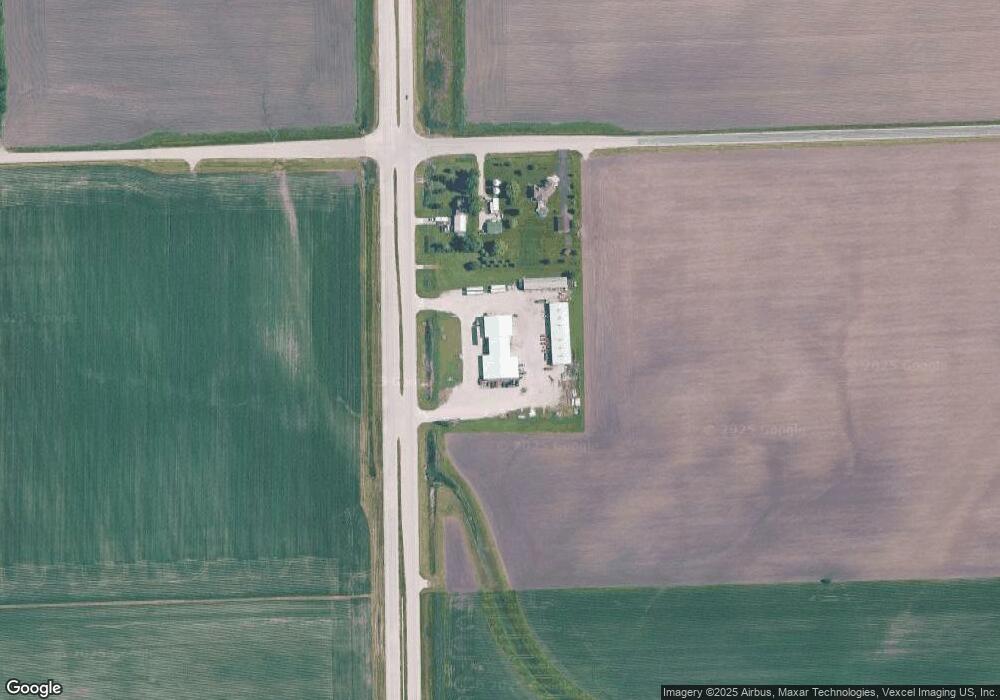
Map
Nearby Homes
- 1330 Airport Rd
- 225 W Joliet St
- 9021 U S 52
- 3948 N Division St
- 9590 Brown Rd
- LOT 6 Mission Pkwy
- LOT 7 Mission Pkwy
- 12 Maple St
- 2823 Ninovan Ln
- 2811 Ninovan Ln
- 2812 Ninovan Ln
- 2813 Ninovan Ln
- 0 Gore Rd
- 2632 Switch Grass Rd
- 2697 Creekside Ln
- 100 Green Acres Dr Unit 2
- 150 Us Highway 6
- 2666 Beyer Rd
- 8725 Plattville Rd
- 2401 Ashland Cir
- 11900 N State Route 47
- 11960 Illinois 47
- 11960 N State Route 47
- 55 Sherrill Rd
- 00 Sherrill Rd
- 11610 N State Route 47
- 9391 Sherrill Rd
- 425 W Sherrill Rd
- 350 W Sherrill Rd
- 11930 N State Route 47
- 735 E Sherrill Rd
- 515 W Sherrill Rd
- 8407 E Sherrill Rd
- 11230 N State Route 47
- 715 W Sherrill Rd
- 835 E Sherrill Rd
- 11055 N State Route 47
- 270 E Minooka Rd
- 30 E Minooka Rd
- 0 E Minooka Rd
Your Personal Tour Guide
Ask me questions while you tour the home.