1194 Beal Rd Republic, MO 65738
Estimated Value: $459,643 - $832,000
About This Home
This home is located at 1194 Beal Rd, Republic, MO 65738 and is currently estimated at $603,214, approximately $278 per square foot. 1194 Beal Rd is a home located in Christian County with nearby schools including Mcculloch Elementary School, Republic Middle School, and Republic High School.
Ownership History
We collect this data history from publicly available records. To have your information removed, we recommend requesting removal directly through your county’s website.
Purchase Details
Purchase Details
Home Financials for this Owner
Home Financials are based on the most recent Mortgage that was taken out on this home.Purchase Details
Home Financials for this Owner
Home Financials are based on the most recent Mortgage that was taken out on this home.Purchase Details
Purchase Details
Home Financials for this Owner
Home Financials are based on the most recent Mortgage that was taken out on this home.Purchase Details
Home Financials for this Owner
Home Financials are based on the most recent Mortgage that was taken out on this home.Purchase Details
Home Values in the Area
Average Home Value in this Area
Purchase History
We collect this data history from publicly available records. To have your information removed, we recommend requesting removal directly through your county’s website.
| Date | Buyer | Sale Price | Title Company |
|---|---|---|---|
| -- | Great American Title | ||
| -- | Great American Title | ||
| -- | Great American Title | ||
| -- | Great American Title | ||
| -- | Fidelity Title | ||
| -- | Fidelity Title | ||
| -- | Fidelity Title Agency | ||
| -- | Fidelity Title Agency | ||
| -- | Lincoln Land Title |
Mortgage History
We collect this data history from publicly available records. To have your information removed, we recommend requesting removal directly through your county’s website.
| Date | Status | Borrower | Loan Amount |
|---|---|---|---|
| Previous Owner | $624,000 | ||
| Previous Owner | $210,560 | ||
| Previous Owner | $255,000 |
Tax History
We collect this data history from publicly available records. To have your information removed, we recommend requesting removal directly through your county’s website.
| Year | Tax Paid | Tax Assessment Tax Assessment Total Assessment is a certain percentage of the fair market value that is determined by local assessors to be the total taxable value of land and additions on the property. | Land | Improvement |
|---|---|---|---|---|
| 2025 | $1,698 | $38,040 | -- | -- |
| 2024 | $1,672 | $29,620 | -- | -- |
| 2023 | $1,672 | $29,620 | -- | -- |
| 2022 | $1,572 | $27,720 | $0 | $0 |
| 2021 | $1,586 | $28,060 | $0 | $0 |
| 2020 | $1,480 | $25,720 | $0 | $0 |
| 2019 | $1,480 | $25,720 | $0 | $0 |
| 2018 | $1,384 | $23,640 | $0 | $0 |
| 2017 | $1,384 | $23,640 | $0 | $0 |
| 2016 | $1,357 | $23,270 | $0 | $0 |
| 2015 | $1,357 | $23,270 | $23,270 | $0 |
| 2014 | $1,341 | $23,150 | $0 | $0 |
| 2013 | $13 | $23,150 | $0 | $0 |
| 2011 | $13 | $46,300 | $0 | $0 |
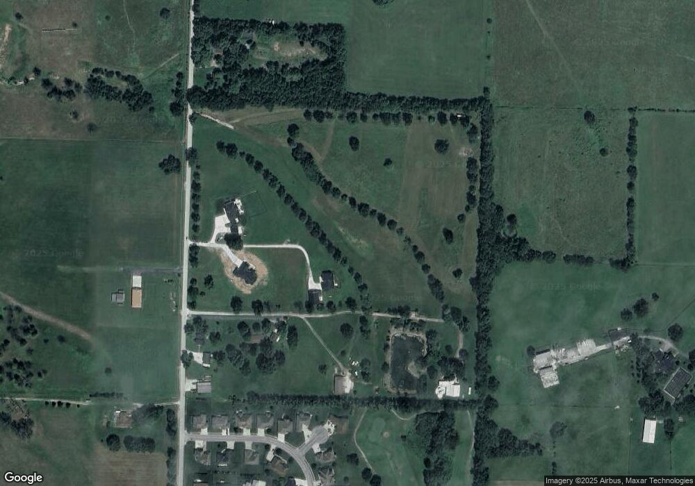
Map
- 138 Brady Ln
- 000 S State Highway P
- 8957 W Farm Road 194
- 1313 S Lorraine Ave
- 449 W Grace St
- 448 W Melody Ln
- 525 W Melody Ln
- 549 W Melody Ln
- 1392 S Acorn Ave
- 1126 S Rome Ave
- 205 E Grace St
- 439 County Road 60-6e
- 1058 S Venice Ave
- 101 E Grace St
- 301 W Corsica St
- 198 E Hadley St
- 000 W Farm Road 194
- 1669 S Avery Ct
- 1681 S Avery Ct
- 1655 S Avery Ct
- 101 N Greenview Ct
- 102 N Greenview Ct
- 105 Spoon Ct
- 111 E Ironwood Dr
- 103 Brassie
- 200 Brady Ln
- 102 Brassie
- 108 Spoon Ct
- 101 Brassie
- 104 Brassie
- 109 E Ironwood Dr
- Lot 13 Spoon Ct
- 103 Spoon Ct
- 115 Lot 14 & 15 Ironwood Dr
- 106 Spoon Ct
- 110 E Ironwood Dr
- 107 E Ironwood Dr
- 108 Ironwood Dr
- 115 Ironwood Dr
- 1190 Beal Rd
Ask me questions while you tour the home.