1194 Pheasant Run Springfield, OH 45503
Estimated Value: $208,341 - $217,000
2
Beds
2
Baths
1,365
Sq Ft
$156/Sq Ft
Est. Value
About This Home
This home is located at 1194 Pheasant Run, Springfield, OH 45503 and is currently estimated at $212,335, approximately $155 per square foot. 1194 Pheasant Run is a home located in Clark County with nearby schools including Northridge Elementary School, Kenton Ridge Middle & High School, and Emmanuel Christian Academy.
Ownership History
Date
Name
Owned For
Owner Type
Purchase Details
Closed on
Mar 3, 1997
Sold by
Bethke Oliver
Bought by
Southward David L and Southward Wilma J
Current Estimated Value
Home Financials for this Owner
Home Financials are based on the most recent Mortgage that was taken out on this home.
Original Mortgage
$40,000
Interest Rate
7.93%
Mortgage Type
New Conventional
Purchase Details
Closed on
Sep 19, 1995
Sold by
Wrenwood Dev Corp
Bought by
Bethke Christa Holighaus and Bethke Oliver
Create a Home Valuation Report for This Property
The Home Valuation Report is an in-depth analysis detailing your home's value as well as a comparison with similar homes in the area
Home Values in the Area
Average Home Value in this Area
Purchase History
| Date | Buyer | Sale Price | Title Company |
|---|---|---|---|
| Southward David L | $85,000 | -- | |
| Bethke Christa Holighaus | $85,840 | -- |
Source: Public Records
Mortgage History
| Date | Status | Borrower | Loan Amount |
|---|---|---|---|
| Previous Owner | Southward David L | $40,000 | |
| Closed | Bethke Christa Holighaus | $0 |
Source: Public Records
Tax History
| Year | Tax Paid | Tax Assessment Tax Assessment Total Assessment is a certain percentage of the fair market value that is determined by local assessors to be the total taxable value of land and additions on the property. | Land | Improvement |
|---|---|---|---|---|
| 2025 | $1,500 | $58,630 | $7,840 | $50,790 |
| 2024 | $1,475 | $45,140 | $6,780 | $38,360 |
| 2023 | $2,261 | $45,140 | $6,780 | $38,360 |
| 2022 | $1,498 | $45,140 | $6,780 | $38,360 |
| 2021 | $1,511 | $40,190 | $5,600 | $34,590 |
| 2020 | $1,513 | $40,190 | $5,600 | $34,590 |
| 2019 | $1,533 | $39,980 | $5,600 | $34,380 |
| 2018 | $1,183 | $32,110 | $7,000 | $25,110 |
| 2017 | $1,005 | $35,126 | $7,000 | $28,126 |
| 2016 | $998 | $35,126 | $7,000 | $28,126 |
| 2015 | $1,013 | $35,126 | $7,000 | $28,126 |
| 2014 | $1,012 | $35,126 | $7,000 | $28,126 |
| 2013 | $1,010 | $35,126 | $7,000 | $28,126 |
Source: Public Records
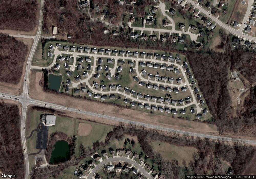
Map
Nearby Homes
- 1201 Kingsgate Rd
- 1415 Montego Dr
- 1500 Kingsgate Rd Unit 19430
- 1502 Kingsgate Rd Unit 19432
- 1500 Kingsgate Rd
- 1502 Kingsgate Rd
- 3631 Kingsgate Ln
- 4256 Midfield St Unit 9
- 1503 Kingsgate Rd
- 1341 Student Ave
- 1505 Kingsgate Rd
- 1644 Delmar Dr
- 4322 Midfield St Unit 15
- 1507 Kingsgate Rd
- 1136 Foxboro Rd Unit 202
- 3052 Brixton Dr E
- 1052 Cheyenne Ave Unit 1052
- 1811 Saint Andrews Ct
- 4446 Ridgewood Rd E Unit 3
- 1139 Bradford Dr
- 1204 Pheasant Run
- 1184 Pheasant Run Unit 66
- 1197 Pheasant Run
- 1214 Pheasant Run
- 1214 Pheasant Run Unit 69
- 1209 Warbler Ridge Unit 51
- 1207 Pheasant Run Unit 83
- 1207 Pheasant Run
- 1174 Pheasant Run Unit 65
- 1169 Pheasant Run Unit 85
- 1169 Pheasant Run
- 1219 Warbler Ridge Unit 50
- 3218 Snow Owl Ct
- 1201 Warbler Ridge Unit 52
- 1217 Pheasant Run
- 1217 Pheasant Run Unit 82
- 1224 Pheasant Run Unit 70
- 3224 Snow Owl Ct
- 3215 Snow Owl Ct
- 1229 Warbler Ridge Unit 49
Your Personal Tour Guide
Ask me questions while you tour the home.