12 Bertoli Dr Litchfield, CT 06759
Estimated Value: $354,017 - $465,000
3
Beds
2
Baths
1,469
Sq Ft
$274/Sq Ft
Est. Value
About This Home
This home is located at 12 Bertoli Dr, Litchfield, CT 06759 and is currently estimated at $403,004, approximately $274 per square foot. 12 Bertoli Dr is a home located in Litchfield County with nearby schools including Center School, Litchfield Intermediate School, and Litchfield High School.
Ownership History
Date
Name
Owned For
Owner Type
Purchase Details
Closed on
Aug 9, 2019
Sold by
Sileno Saveno J
Bought by
Murphy Thomas F and Patnaude-Murphy Emily G
Current Estimated Value
Home Financials for this Owner
Home Financials are based on the most recent Mortgage that was taken out on this home.
Original Mortgage
$216,000
Outstanding Balance
$189,293
Interest Rate
3.73%
Mortgage Type
Purchase Money Mortgage
Estimated Equity
$213,711
Purchase Details
Closed on
Nov 22, 1976
Bought by
Sileno Saveno J
Create a Home Valuation Report for This Property
The Home Valuation Report is an in-depth analysis detailing your home's value as well as a comparison with similar homes in the area
Home Values in the Area
Average Home Value in this Area
Purchase History
| Date | Buyer | Sale Price | Title Company |
|---|---|---|---|
| Murphy Thomas F | $240,000 | -- | |
| Sileno Saveno J | -- | -- |
Source: Public Records
Mortgage History
| Date | Status | Borrower | Loan Amount |
|---|---|---|---|
| Open | Murphy Thomas F | $216,000 |
Source: Public Records
Tax History
| Year | Tax Paid | Tax Assessment Tax Assessment Total Assessment is a certain percentage of the fair market value that is determined by local assessors to be the total taxable value of land and additions on the property. | Land | Improvement |
|---|---|---|---|---|
| 2025 | $4,457 | $222,840 | $52,620 | $170,220 |
| 2024 | $4,123 | $222,840 | $52,620 | $170,220 |
| 2023 | $4,053 | $151,810 | $50,230 | $101,580 |
| 2022 | $4,069 | $151,810 | $50,230 | $101,580 |
| 2021 | $4,190 | $151,810 | $50,230 | $101,580 |
| 2020 | $4,205 | $151,810 | $50,230 | $101,580 |
| 2019 | $4,281 | $151,810 | $50,230 | $101,580 |
| 2018 | $4,334 | $156,480 | $58,620 | $97,860 |
| 2017 | $4,319 | $156,480 | $58,620 | $97,860 |
| 2016 | $4,178 | $156,480 | $58,620 | $97,860 |
| 2015 | -- | $156,480 | $58,620 | $97,860 |
| 2014 | $3,943 | $156,480 | $58,620 | $97,860 |
Source: Public Records
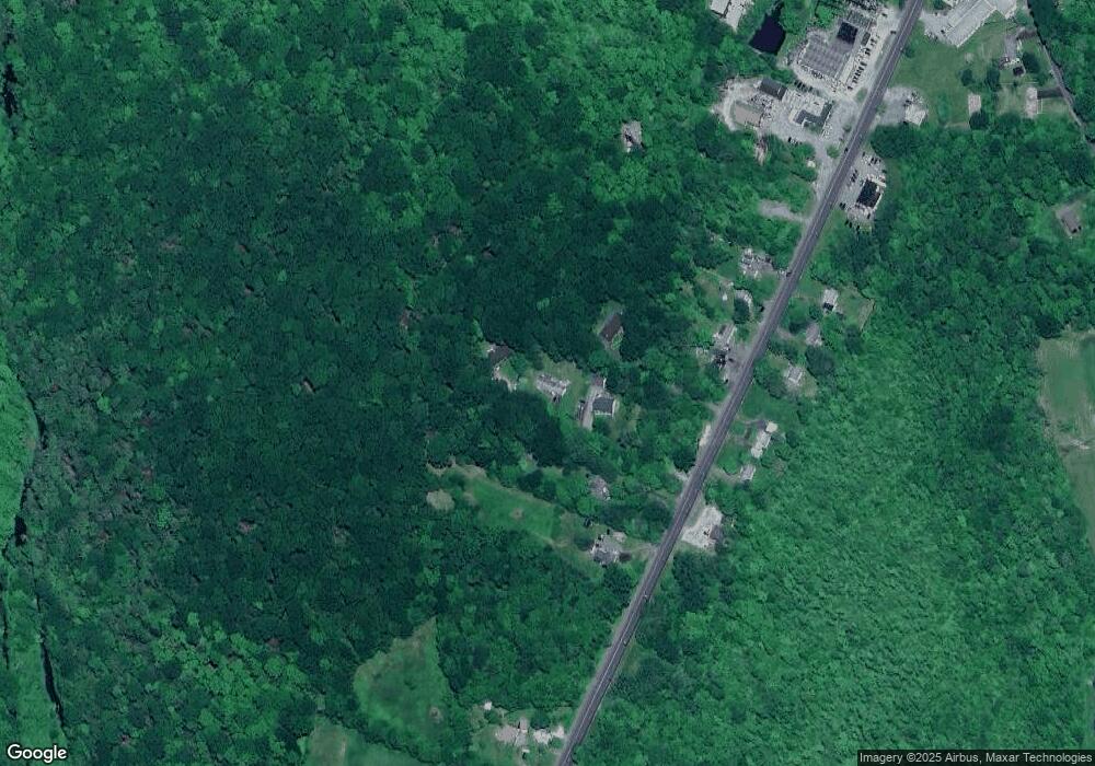
Map
Nearby Homes
- 374 Torrington Rd
- 184 Fern Ave
- 3 Sally Burr Rd
- 0 Sally Burr Rd
- 11 W Chestnut Hill Rd
- 44 South St
- 250 Hunter Dr Unit 250
- 258 Hunter Dr Unit 258
- 294 Hunter Dr Unit 294
- 405 Hunter Dr Unit 405
- 83 Chelsea Ct
- 415 South St
- 136 Peck Rd
- 447 South St
- 971 New Litchfield St
- 1616 Weed Rd
- 19 Hillcrest St
- 19 Seherr Thoss Dr
- 403 Beach St
- 112 Greenfield Dr
- 8 Bertoli Dr
- 16 Bertoli Dr
- 365 Torrington Rd
- 357 Torrington Rd
- 367 Torrington Rd
- 353 Torrington Rd
- 371 Torrington Rd
- 373 Torrington Rd
- 370 Torrington Rd
- 366 Torrington Rd
- 358 Torrington Rd
- 375 Torrington Rd
- 376 Torrington Rd
- 337 Torrington Rd
- 383 Torrington Rd
- 336 Torrington Rd
- 335 Torrington Rd
- 332 Torrington Rd
- Lot 14 Torrington Rd
- 223 Fern Ave
Your Personal Tour Guide
Ask me questions while you tour the home.