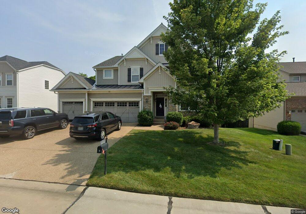
12 Burnside-Uc Ct Saint Charles, MO 63303
Heritage NeighborhoodEstimated Value: $618,342 - $674,000
About This Home
This home is located at 12 Burnside-Uc Ct, Saint Charles, MO 63303 and is currently estimated at $651,086, approximately $204 per square foot. 12 Burnside-Uc Ct is a home located in St. Charles County with nearby schools including Becky-David Elementary School, Barnwell Middle School, and Francis Howell North High School.
Ownership History
We collect this data history from publicly available records. To have your information removed, we recommend requesting removal directly through your county’s website.
Purchase Details
Home Financials for this Owner
Home Financials are based on the most recent Mortgage that was taken out on this home.Home Values in the Area
Average Home Value in this Area
Purchase History
We collect this data history from publicly available records. To have your information removed, we recommend requesting removal directly through your county’s website.
| Date | Buyer | Sale Price | Title Company |
|---|---|---|---|
| $355,895 | Integrity Land Title Co Inc |
Mortgage History
We collect this data history from publicly available records. To have your information removed, we recommend requesting removal directly through your county’s website.
| Date | Status | Borrower | Loan Amount |
|---|---|---|---|
| Open | $338,100 |
Tax History
We collect this data history from publicly available records. To have your information removed, we recommend requesting removal directly through your county’s website.
| Year | Tax Paid | Tax Assessment Tax Assessment Total Assessment is a certain percentage of the fair market value that is determined by local assessors to be the total taxable value of land and additions on the property. | Land | Improvement |
|---|---|---|---|---|
| 2025 | $6,612 | $113,540 | -- | -- |
| 2023 | $6,603 | $107,209 | $0 | $0 |
| 2022 | $5,817 | $87,454 | $0 | $0 |
| 2021 | $5,805 | $87,454 | $0 | $0 |
| 2020 | $5,463 | $80,203 | $0 | $0 |
| 2019 | $5,442 | $80,203 | $0 | $0 |
| 2018 | $5,239 | $73,710 | $0 | $0 |
| 2017 | $5,212 | $73,710 | $0 | $0 |
| 2016 | $4,797 | $68,025 | $0 | $0 |
| 2015 | $4,759 | $68,025 | $0 | $0 |
| 2014 | $4,729 | $65,523 | $0 | $0 |
Map
- 2569 Trenton Station
- 1513 Hudson Landing
- 52 Bunker Hill
- 440 Meramec Way
- 2497 Annapolis Way
- 240 Victory Ln
- 408 Monitor Way
- 1311 Musket Hollow Unit F
- 1343 Hampton Rd Unit B
- 2814 Spruce Ridge Ct
- 1387 Hampton Rd Unit C
- 2480 Annapolis Way
- 2621 Plantation Point Unit C
- 2633 Plantation Point Unit A
- 2613 Hampton Rd
- 2617 Hampton Rd Unit C
- 3 Summit Station
- 2646 Hampton Rd Unit 6F
- 22 Colonade Ct
- 2 Saw Mill Way
- 14 Burnside Ct
- 16 Burnside Ct
- 10 Burnside Ct
- 17 Confederate Way
- 1593 Burnside Ln
- 1588 Burnside Ln
- 16 Confederate Way
- 18 Confederate Way
- 20 Burnside Ct
- 1590 Burnside Ln
- 0 Burnside Ct
- 8 Burnside Ct
- 1592 Burnside Ln
- 1595Lot # 1 Burnside Ln
- 1595 Burnside Ln
- 2 Burnside-Uc Ct
- 1595 Burnside Ln
- 2 Burnside Ct
- 15 Confederate Way
- 4 Winchester Way
Ask me questions while you tour the home.