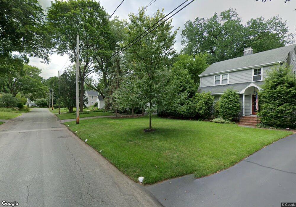
12 Cavanaugh Rd Wellesley Hills, MA 02481
Estimated Value: $1,368,000 - $1,847,000
3
Beds
3
Baths
1,828
Sq Ft
$833/Sq Ft
Est. Value
About This Home
This home is located at 12 Cavanaugh Rd, Wellesley Hills, MA 02481 and is currently estimated at $1,521,961, approximately $832 per square foot. 12 Cavanaugh Rd is a home located in Norfolk County with nearby schools including Katharine Lee Bates Elementary School, Wellesley Middle School, and Wellesley Sr High School.
Ownership History
Date
Name
Owned For
Owner Type
Purchase Details
Closed on
Sep 9, 2025
Sold by
Obrien Timothy J and Obrien Linda M
Bought by
Obrien Ft and Obrien
Current Estimated Value
Purchase Details
Closed on
Jun 27, 2001
Sold by
Mcgrath Frank J and Mcgrath Catherine N
Bought by
Obrien Timothy J and Obrien Linda M
Home Financials for this Owner
Home Financials are based on the most recent Mortgage that was taken out on this home.
Original Mortgage
$500,000
Interest Rate
7.14%
Mortgage Type
Purchase Money Mortgage
Create a Home Valuation Report for This Property
The Home Valuation Report is an in-depth analysis detailing your home's value as well as a comparison with similar homes in the area
Purchase History
We collect this data history from publicly available records. To have your information removed, we recommend requesting removal directly through your county’s website.
| Date | Buyer | Sale Price | Title Company |
|---|---|---|---|
| Obrien Ft | -- | -- | |
| Obrien Timothy J | $655,500 | -- |
Source: Public Records
Mortgage History
We collect this data history from publicly available records. To have your information removed, we recommend requesting removal directly through your county’s website.
| Date | Status | Borrower | Loan Amount |
|---|---|---|---|
| Previous Owner | Obrien Timothy J | $417,000 | |
| Previous Owner | Obrien Timothy J | $500,000 | |
| Previous Owner | Obrien Timothy J | $170,000 |
Source: Public Records
Tax History
| Year | Tax Paid | Tax Assessment Tax Assessment Total Assessment is a certain percentage of the fair market value that is determined by local assessors to be the total taxable value of land and additions on the property. | Land | Improvement |
|---|---|---|---|---|
| 2025 | $12,768 | $1,242,000 | $1,028,000 | $214,000 |
| 2024 | $11,461 | $1,101,000 | $894,000 | $207,000 |
| 2023 | $10,591 | $925,000 | $759,000 | $166,000 |
| 2022 | $10,302 | $882,000 | $651,000 | $231,000 |
| 2021 | $10,364 | $882,000 | $651,000 | $231,000 |
| 2020 | $10,196 | $882,000 | $651,000 | $231,000 |
| 2019 | $10,205 | $882,000 | $651,000 | $231,000 |
| 2018 | $9,847 | $824,000 | $644,000 | $180,000 |
| 2017 | $9,715 | $824,000 | $644,000 | $180,000 |
| 2016 | $9,535 | $806,000 | $633,000 | $173,000 |
| 2015 | $9,317 | $806,000 | $631,000 | $175,000 |
Source: Public Records
Map
Nearby Homes
- 53 Elmwood Rd
- 38 Parker Rd
- 7 Massasoit Rd
- 2 Marigold Ave
- 8 Oakdale Ave
- 265 Weston Rd
- 16 Sunnyside Ave
- 206 Bristol Rd
- 55 Oakdale Ave
- 58 Upland Rd
- 35 Marshall Rd
- 48 Marshall Rd
- 7 Whitney Cir
- 207 Weston Rd
- 201 Lowell Rd
- 16 Stearns Rd Unit 207
- 16 Stearns Rd Unit 203
- 16 Stearns Rd Unit 106
- 16 Stearns Rd Unit 302
- 16 Stearns Rd Unit 208
Your Personal Tour Guide
Ask me questions while you tour the home.