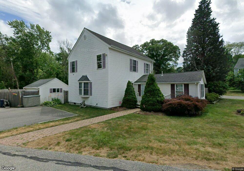
12 Cedar Ln Kingston, MA 02364
Estimated Value: $624,000 - $754,000
3
Beds
2
Baths
1,713
Sq Ft
$387/Sq Ft
Est. Value
About This Home
This home is located at 12 Cedar Ln, Kingston, MA 02364 and is currently estimated at $662,162, approximately $386 per square foot. 12 Cedar Ln is a home located in Plymouth County with nearby schools including Kingston Elementary School, Silver Lake Regional High School, and Kingston Intermediate School.
Ownership History
Date
Name
Owned For
Owner Type
Purchase Details
Closed on
Oct 1, 1992
Sold by
Allen Matilda E
Bought by
Rossborough Jonathan B and Rossborough Colette
Current Estimated Value
Create a Home Valuation Report for This Property
The Home Valuation Report is an in-depth analysis detailing your home's value as well as a comparison with similar homes in the area
Home Values in the Area
Average Home Value in this Area
Purchase History
| Date | Buyer | Sale Price | Title Company |
|---|---|---|---|
| Rossborough Jonathan B | $38,000 | -- |
Source: Public Records
Mortgage History
| Date | Status | Borrower | Loan Amount |
|---|---|---|---|
| Open | Rossborough Jonathan B | $120,000 | |
| Closed | Rossborough Jonathan B | $76,000 | |
| Closed | Rossborough Jonathan B | $65,000 | |
| Closed | Rossborough Jonathan B | $20,000 |
Source: Public Records
Tax History
| Year | Tax Paid | Tax Assessment Tax Assessment Total Assessment is a certain percentage of the fair market value that is determined by local assessors to be the total taxable value of land and additions on the property. | Land | Improvement |
|---|---|---|---|---|
| 2025 | $6,772 | $522,100 | $184,700 | $337,400 |
| 2024 | $6,279 | $494,000 | $184,700 | $309,300 |
| 2023 | $5,769 | $431,800 | $184,700 | $247,100 |
| 2022 | $5,922 | $406,200 | $175,200 | $231,000 |
| 2021 | $5,604 | $348,500 | $159,600 | $188,900 |
| 2020 | $5,608 | $344,500 | $155,600 | $188,900 |
| 2019 | $5,009 | $304,300 | $149,000 | $155,300 |
| 2018 | $4,698 | $285,600 | $149,000 | $136,600 |
| 2017 | $4,148 | $251,400 | $142,500 | $108,900 |
| 2016 | $4,598 | $261,100 | $128,800 | $132,300 |
| 2015 | $4,457 | $263,100 | $128,800 | $134,300 |
| 2014 | $4,295 | $257,500 | $123,200 | $134,300 |
Source: Public Records
Map
Nearby Homes
- 13 Atwood St
- Lot 17-3 Howlands Ln
- 10 Loring Ave
- 17 Howlands Ln
- 40 Landing Rd
- 44 Seabury Point Rd
- 38 Landing Rd
- 12 Smiths Ln
- 10 Summerhouse Ln
- 58 Tussock Brook Rd
- 74 Tussock Brook Rd Unit 74
- Lot 17-1 Howland's Ln
- 67 Tussock Brook Rd Unit 67
- 92 Ocean Hill Dr
- 58 Bay Farm Rd
- 23 Schofield Rd
- 393 Court St Unit 5
- 393 Court St Unit 7
- 5-7 Forest Ave
- 13 Forest Ave
Your Personal Tour Guide
Ask me questions while you tour the home.