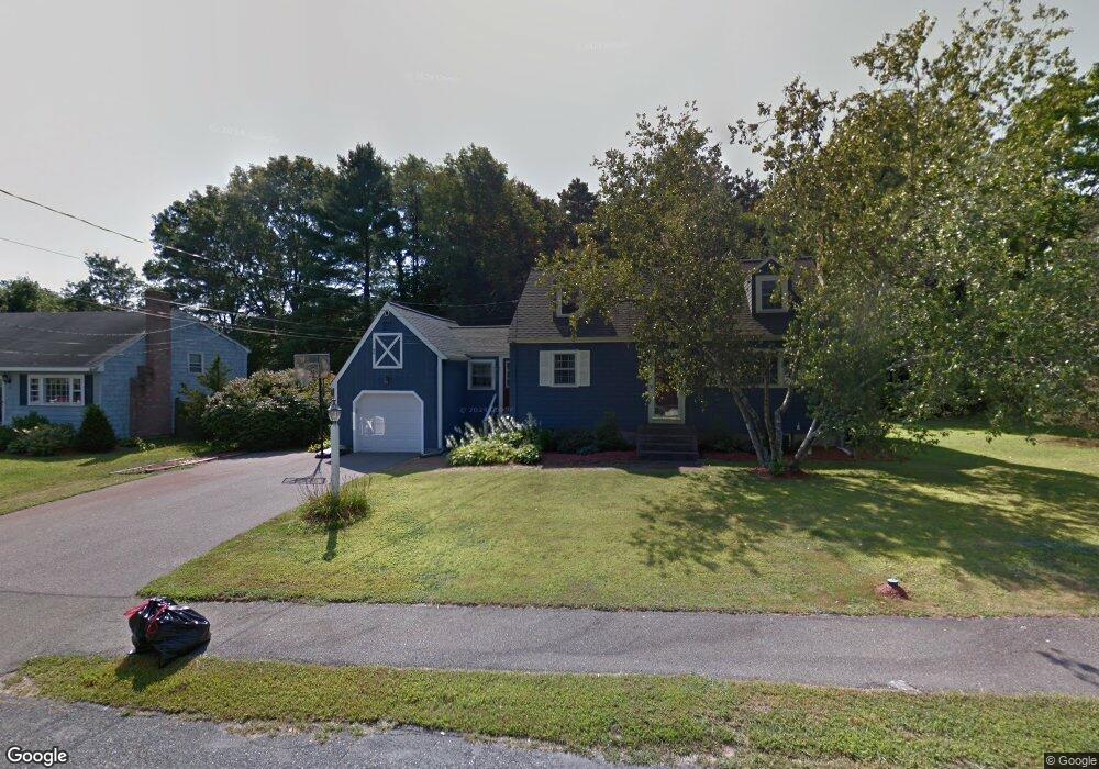
12 Chandler Ave Walpole, MA 02081
Estimated Value: $565,000 - $741,000
3
Beds
3
Baths
1,387
Sq Ft
$454/Sq Ft
Est. Value
About This Home
This home is located at 12 Chandler Ave, Walpole, MA 02081 and is currently estimated at $630,147, approximately $454 per square foot. 12 Chandler Ave is a home located in Norfolk County with nearby schools including Elm Street School, Eleanor N. Johnson Middle School, and Walpole High School.
Ownership History
Date
Name
Owned For
Owner Type
Purchase Details
Closed on
Aug 7, 1996
Sold by
Wilson Joan B
Bought by
Flaherty Michael J and Flaherty Terese L
Current Estimated Value
Create a Home Valuation Report for This Property
The Home Valuation Report is an in-depth analysis detailing your home's value as well as a comparison with similar homes in the area
Home Values in the Area
Average Home Value in this Area
Purchase History
We collect this data history from publicly available records. To have your information removed, we recommend requesting removal directly through your county’s website.
| Date | Buyer | Sale Price | Title Company |
|---|---|---|---|
| Flaherty Michael J | $185,000 | -- |
Source: Public Records
Mortgage History
We collect this data history from publicly available records. To have your information removed, we recommend requesting removal directly through your county’s website.
| Date | Status | Borrower | Loan Amount |
|---|---|---|---|
| Open | Flaherty Michael J | $140,000 | |
| Closed | Flaherty Michael J | $155,000 | |
| Closed | Flaherty Michael J | $150,000 |
Source: Public Records
Tax History
| Year | Tax Paid | Tax Assessment Tax Assessment Total Assessment is a certain percentage of the fair market value that is determined by local assessors to be the total taxable value of land and additions on the property. | Land | Improvement |
|---|---|---|---|---|
| 2025 | $6,722 | $523,900 | $291,000 | $232,900 |
| 2024 | $6,541 | $494,800 | $279,800 | $215,000 |
| 2023 | $6,346 | $456,900 | $243,300 | $213,600 |
| 2022 | $6,001 | $415,000 | $225,300 | $189,700 |
| 2021 | $5,823 | $392,400 | $212,600 | $179,800 |
| 2020 | $5,791 | $386,300 | $200,600 | $185,700 |
| 2019 | $5,806 | $384,500 | $192,900 | $191,600 |
| 2018 | $5,564 | $364,400 | $185,900 | $178,500 |
| 2017 | $5,379 | $350,900 | $178,700 | $172,200 |
| 2016 | $5,255 | $337,700 | $171,800 | $165,900 |
| 2015 | $5,073 | $323,100 | $163,500 | $159,600 |
| 2014 | $4,873 | $309,200 | $163,500 | $145,700 |
Source: Public Records
Map
Nearby Homes
- 21 Chandler Ave
- 195 Lincoln Rd
- 530 West St Unit 1
- 10 Forrest Rd
- 16 Weathervane Dr Unit 23
- 26 Kittredge St
- 124 Clear Pond Dr
- 9 Macdonald Cir
- 24 Marion St
- 1429 Main St Unit 5E
- 29 Merganser Way Unit 29
- 1391 Main St Unit 305
- 1391 Main St Unit 301
- 3 Carl Rd
- 48 Beethoven Ave
- 16 Canvasback Way Unit 16
- 120 Spring St
- 12 Brookside Ln
- 37 Thomas Mann Cir Unit 23
- 47 Thomas Mann Cir Unit 28
- 16 Chandler Ave
- 18 Chandler Ave
- 19 Chandler Ave
- 10 Conifer Dr
- 8 Conifer Dr
- 18 Conifer Dr
- 10 Chandler Ave
- 12 Conifer Dr
- 782 West St Unit 1
- 782 West St Unit B
- 782 West St Unit 782
- 15 Chandler Ave
- 2 Conifer Dr
- 16 Conifer Dr
- 13 Chandler Ave
- 14 Conifer Dr
- 762 West St
- 785 Cedar St
- 22 Conifer Dr
- 767 Cedar St
Your Personal Tour Guide
Ask me questions while you tour the home.