12 Howbrigg Ln Calais, ME 04619
Calais AreaEstimated Value: $156,000 - $318,000
About This Home
This home is located at 12 Howbrigg Ln, Calais, ME 04619 and is currently estimated at $219,714, approximately $228 per square foot. 12 Howbrigg Ln is a home with nearby schools including Calais Elementary School and Calais Middle/High School.
Ownership History
We collect this data history from publicly available records. To have your information removed, we recommend requesting removal directly through your county’s website.
Purchase Details
Home Financials for this Owner
Home Financials are based on the most recent Mortgage that was taken out on this home.Home Values in the Area
Average Home Value in this Area
Purchase History
We collect this data history from publicly available records. To have your information removed, we recommend requesting removal directly through your county’s website.
| Date | Buyer | Sale Price | Title Company |
|---|---|---|---|
| $120,500 | None Available |
Mortgage History
We collect this data history from publicly available records. To have your information removed, we recommend requesting removal directly through your county’s website.
| Date | Status | Borrower | Loan Amount |
|---|---|---|---|
| Open | $118,316 | ||
| Closed | $118,316 |
Tax History
We collect this data history from publicly available records. To have your information removed, we recommend requesting removal directly through your county’s website.
| Year | Tax Paid | Tax Assessment Tax Assessment Total Assessment is a certain percentage of the fair market value that is determined by local assessors to be the total taxable value of land and additions on the property. | Land | Improvement |
|---|---|---|---|---|
| 2025 | $2,087 | $143,900 | $24,600 | $119,300 |
| 2024 | $1,980 | $132,000 | $22,600 | $109,400 |
| 2023 | $4,175 | $245,600 | $29,500 | $216,100 |
| 2022 | $3,770 | $198,400 | $23,800 | $174,600 |
| 2021 | $4,108 | $190,200 | $22,800 | $167,400 |
| 2020 | $4,116 | $162,700 | $19,600 | $143,100 |
| 2019 | $4,116 | $162,700 | $19,600 | $143,100 |
| 2018 | $4,116 | $162,700 | $19,600 | $143,100 |
| 2017 | $4,116 | $162,700 | $19,600 | $143,100 |
| 2016 | $4,116 | $162,700 | $19,600 | $143,100 |
| 2015 | $4,116 | $162,700 | $19,600 | $143,100 |
| 2014 | $4,116 | $162,700 | $19,600 | $143,100 |
| 2013 | $4,116 | $162,700 | $19,600 | $143,100 |
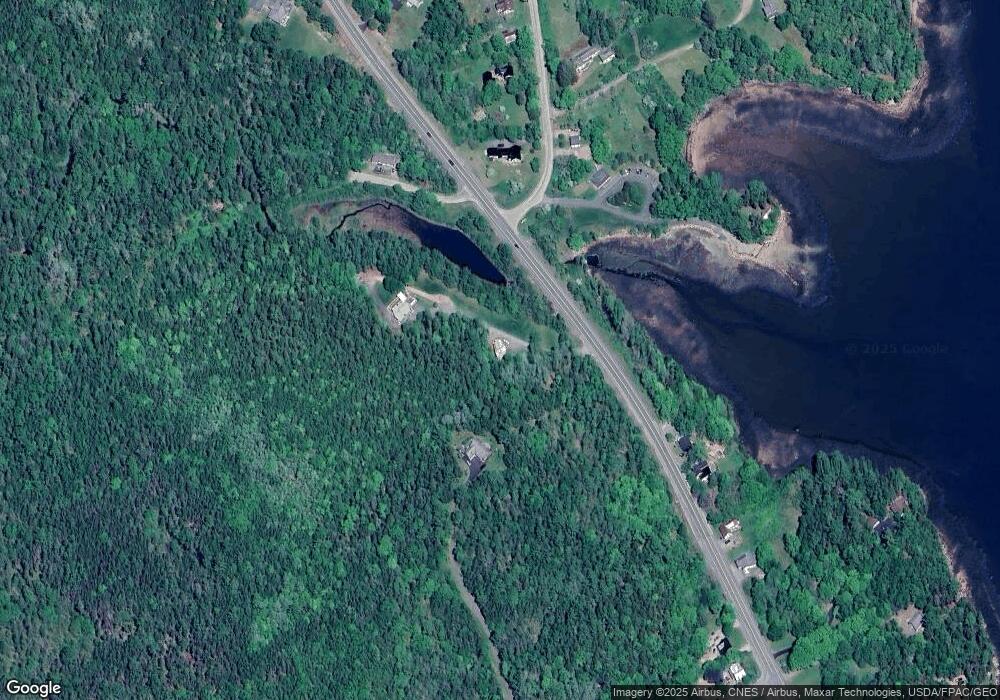
Map
- 1590 River Rd
- M16L10 Huckins Cove Rd
- 50 Eagle Cove Ln
- 110 US Route Unit 1
- 12 Dochet Ln
- 294 Us-1
- M35 L56 Nash's Lake
- Lot 4 Off Western Lake Rd
- 00 S River Rd
- 721 S River Rd
- 21 Red Beach Ln
- 167 Sweeney Rd
- 752 Us-1
- 22 Seaview Ln
- Lot 87 Sea View Ln
- Lot 7BH Steam Mill Rd
- 24 Deer Point W
- 352 S River Rd
- 267 Ridge Rd
- 1175 U S 1
- 1366 1368 River Rd
- 15 Plaster Mill Dr
- XXXX River Rd
- 145 Saint Croix Dr
- 1558 River Rd
- 78 Saint Croix Dr
- 71 Saint Croix Dr
- 67 Saint Croix Dr
- 1572 River Rd
- 1579 River Rd
- 1498 River Rd
- 1583 River Rd
- 1584 River Rd
- 1481 River Rd
- 15 Shattuck Rd
- 51 Saint Croix Dr
- 23 Shattuck Rd
- 1589 River Rd
- Lt 015-001 Saint Croix Dr
- 26 Shattuck Rd
Ask me questions while you tour the home.