12 Leighton Ln Eliot, ME 03903
South Eliot NeighborhoodEstimated Value: $290,000 - $484,000
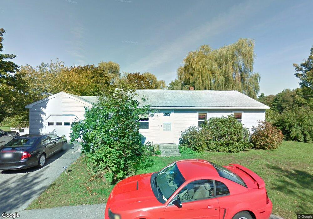
About This Home
This home is located at 12 Leighton Ln, Eliot, ME 03903 and is currently estimated at $386,393, approximately $429 per square foot. 12 Leighton Ln is a home located in York County with nearby schools including Marshwood High School and Seacoast Waldorf School.
Ownership History
We collect this data history from publicly available records. To have your information removed, we recommend requesting removal directly through your county’s website.
Purchase Details
Home Values in the Area
Average Home Value in this Area
Purchase History
We collect this data history from publicly available records. To have your information removed, we recommend requesting removal directly through your county’s website.
| Date | Buyer | Sale Price | Title Company |
|---|---|---|---|
| -- | -- | ||
| -- | -- |
Mortgage History
We collect this data history from publicly available records. To have your information removed, we recommend requesting removal directly through your county’s website.
| Date | Status | Borrower | Loan Amount |
|---|---|---|---|
| Previous Owner | $90,000 |
Tax History
We collect this data history from publicly available records. To have your information removed, we recommend requesting removal directly through your county’s website.
| Year | Tax Paid | Tax Assessment Tax Assessment Total Assessment is a certain percentage of the fair market value that is determined by local assessors to be the total taxable value of land and additions on the property. | Land | Improvement |
|---|---|---|---|---|
| 2025 | $2,969 | $263,900 | $129,100 | $134,800 |
| 2024 | $2,989 | $252,200 | $117,400 | $134,800 |
| 2023 | $2,886 | $235,600 | $111,600 | $124,000 |
| 2022 | $2,718 | $224,600 | $111,600 | $113,000 |
| 2021 | $2,601 | $222,100 | $111,600 | $110,500 |
| 2020 | $3,687 | $198,700 | $106,700 | $92,000 |
| 2019 | $5,731 | $198,700 | $106,700 | $92,000 |
| 2018 | $2,921 | $198,700 | $106,700 | $92,000 |
| 2017 | $2,841 | $198,700 | $106,700 | $92,000 |
| 2016 | $4,799 | $198,700 | $106,700 | $92,000 |
| 2015 | $2,782 | $198,700 | $106,700 | $92,000 |
| 2014 | $2,732 | $198,000 | $106,700 | $91,300 |
| 2013 | $2,608 | $198,000 | $106,700 | $91,300 |
Map
- 222 River Rd
- 293 River Rd
- 338 River Rd
- 60 Pine Hill Rd S Unit 315
- 0 Franks Fort Island Unit 1650383
- 33 Little Bay Dr
- 18 Little Bay Dr
- 0 Cote Dr Unit 55B
- SLIP 13 Little Bay Marina
- SLIP 11 Little Bay Marina
- SLIP 28 Little Bay Marina
- 125 Jennie Ln
- 28 Little Bay Dr
- 71 Shipwright Way
- 348 Dover Point Rd
- 354 Dover Point Rd
- 82 Shipwright Way
- 1232 State Rd
- 298A Dover Point Rd
- 21 Clearwater Dr
- 16 Leighton Ln
- 8 Leighton Ln
- 7 Leighton Ln
- 4 River Rd
- 204 River Rd
- 208 River Rd
- 148 River
- 0 River Road Map 42 Lot 55 Unit 4053234
- 0 River Road Map 42 Lot 55 Unit 1007377
- 174 River
- 18 Leighton Ln
- 4 Leighton Ln
- 18 River Rd
- 93 River
- 147 River Rd
- 1 River Rd
- 216 River Rd
- 169 River
- 201 River Rd
- 105 Fore Rd
Ask me questions while you tour the home.