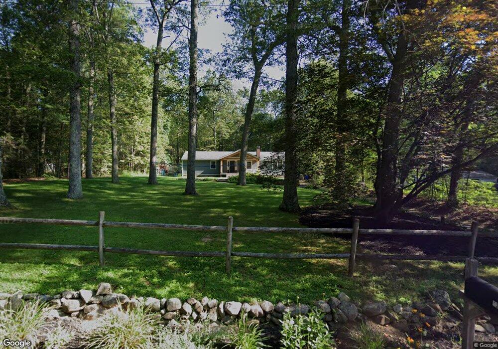
12 Lostbrook Rd West Simsbury, CT 06092
Estimated Value: $331,000 - $420,000
3
Beds
2
Baths
1,552
Sq Ft
$245/Sq Ft
Est. Value
About This Home
This home is located at 12 Lostbrook Rd, West Simsbury, CT 06092 and is currently estimated at $380,788, approximately $245 per square foot. 12 Lostbrook Rd is a home located in Hartford County with nearby schools including Tootin' Hills School, Henry James Memorial School, and Simsbury High School.
Ownership History
Date
Name
Owned For
Owner Type
Purchase Details
Closed on
Dec 1, 2004
Sold by
Rowland Cindy D and Rowland David M
Bought by
Woof Mark and Woof Janet
Current Estimated Value
Purchase Details
Closed on
Jul 28, 2003
Sold by
Doty Susan P
Bought by
Rowland David M and Rowland Cindy D
Create a Home Valuation Report for This Property
The Home Valuation Report is an in-depth analysis detailing your home's value as well as a comparison with similar homes in the area
Home Values in the Area
Average Home Value in this Area
Purchase History
| Date | Buyer | Sale Price | Title Company |
|---|---|---|---|
| Woof Mark | $231,500 | -- | |
| Rowland David M | $215,000 | -- |
Source: Public Records
Mortgage History
| Date | Status | Borrower | Loan Amount |
|---|---|---|---|
| Open | Rowland David M | $13,000 | |
| Open | Rowland David M | $201,425 | |
| Closed | Rowland David M | $208,500 |
Source: Public Records
Tax History
| Year | Tax Paid | Tax Assessment Tax Assessment Total Assessment is a certain percentage of the fair market value that is determined by local assessors to be the total taxable value of land and additions on the property. | Land | Improvement |
|---|---|---|---|---|
| 2025 | $7,001 | $204,960 | $72,800 | $132,160 |
| 2024 | $6,827 | $204,960 | $72,800 | $132,160 |
| 2023 | $6,522 | $204,960 | $72,800 | $132,160 |
| 2022 | $6,002 | $155,360 | $76,440 | $78,920 |
| 2021 | $6,002 | $155,360 | $76,440 | $78,920 |
| 2020 | $5,762 | $155,360 | $76,440 | $78,920 |
| 2019 | $5,798 | $155,360 | $76,440 | $78,920 |
| 2018 | $5,840 | $155,360 | $76,440 | $78,920 |
| 2017 | $5,721 | $147,590 | $76,440 | $71,150 |
| 2016 | $5,479 | $147,590 | $76,440 | $71,150 |
| 2015 | $5,479 | $147,590 | $76,440 | $71,150 |
| 2014 | $5,481 | $147,590 | $76,440 | $71,150 |
Source: Public Records
Map
Nearby Homes
- 9 Bridlepath Rd
- 29 Long View Dr
- 15 Red Fox Run
- 35 Shingle Mill Rd
- 301 Bushy Hill Rd
- 52 Shingle Mill Rd
- 18 Meadowlark Rd
- 7 Shaw Dr
- 85 Lawton Rd
- 24 Ichabod Rd
- 33 Westwood Dr
- 28 Park Rd
- 73 High Valley Dr
- 47 Ashton Cir Unit 47
- 3 Ronan Way
- 49 Applegate Ln Unit 49
- 152 E Hill Rd
- 22 Bel Aire Ln
- 308 Cherry Brook Rd
- 1 W Mary Dr
- 10 Lostbrook Rd
- 14 Lostbrook Rd
- 2 Glenbrook Rd
- 11 Lostbrook Rd
- 16 Lostbrook Rd
- 8 Lostbrook Rd
- 7 Lostbrook Rd
- 18 Lostbrook Rd
- 15 Lostbrook Rd
- 6 Lostbrook Rd
- 5 Glenbrook Dr
- 6 Glenbrook Dr
- 6 Glenbrook Dr
- 5 Lostbrook Rd
- 17 Lostbrook Rd
- 20 Lostbrook Rd
- 7 Glenbrook Dr
- 4 Bridlepath Rd
- 8 Glenbrook Dr
- 6 Bridlepath Rd
Your Personal Tour Guide
Ask me questions while you tour the home.