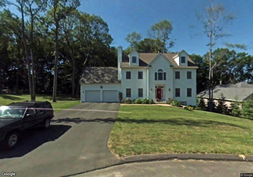
12 Maplecrest Ln Hamden, CT 06514
Estimated Value: $561,349 - $684,000
5
Beds
3
Baths
2,758
Sq Ft
$223/Sq Ft
Est. Value
About This Home
This home is located at 12 Maplecrest Ln, Hamden, CT 06514 and is currently estimated at $615,087, approximately $223 per square foot. 12 Maplecrest Ln is a home located in New Haven County with nearby schools including Hamden Middle School, Hamden High School, and Laurel Oaks Adventist School.
Ownership History
Date
Name
Owned For
Owner Type
Purchase Details
Closed on
Sep 6, 2005
Sold by
Maplecrest Dev
Bought by
Baranski Stephen M and Baranski Karen W
Current Estimated Value
Create a Home Valuation Report for This Property
The Home Valuation Report is an in-depth analysis detailing your home's value as well as a comparison with similar homes in the area
Home Values in the Area
Average Home Value in this Area
Purchase History
| Date | Buyer | Sale Price | Title Company |
|---|---|---|---|
| Baranski Stephen M | $460,939 | -- |
Source: Public Records
Mortgage History
| Date | Status | Borrower | Loan Amount |
|---|---|---|---|
| Open | Baranski Stephen M | $334,625 | |
| Closed | Baranski Stephen M | $81,000 | |
| Closed | Baranski Stephen M | $70,900 | |
| Closed | Baranski Stephen M | $352,800 |
Source: Public Records
Tax History
| Year | Tax Paid | Tax Assessment Tax Assessment Total Assessment is a certain percentage of the fair market value that is determined by local assessors to be the total taxable value of land and additions on the property. | Land | Improvement |
|---|---|---|---|---|
| 2025 | $20,896 | $402,780 | $61,670 | $341,110 |
| 2024 | $14,290 | $256,970 | $43,190 | $213,780 |
| 2023 | $14,488 | $256,970 | $43,190 | $213,780 |
| 2022 | $14,257 | $256,970 | $43,190 | $213,780 |
| 2021 | $13,476 | $256,970 | $43,190 | $213,780 |
| 2020 | $13,383 | $257,460 | $75,250 | $182,210 |
| 2019 | $12,579 | $257,460 | $75,250 | $182,210 |
| 2018 | $12,348 | $257,460 | $75,250 | $182,210 |
| 2017 | $11,653 | $257,460 | $75,250 | $182,210 |
| 2016 | $11,678 | $257,460 | $75,250 | $182,210 |
| 2015 | $11,341 | $277,480 | $83,650 | $193,830 |
| 2014 | $11,080 | $277,480 | $83,650 | $193,830 |
Source: Public Records
Map
Nearby Homes
- 491 Shepard Ave
- 33 Sky View Cir
- 80 Kirk Rd
- 766 Paradise Ave
- 175 Mill Pond Rd Unit 346
- 175 Mill Pond Rd Unit 444
- 175 Mill Pond Rd Unit 214
- 175 Mill Pond Rd Unit 201
- 645 Paradise Ave
- 4 Raccio Park Rd
- 200 Howard Dr
- 737 Shepard Ave
- 900 Mix Ave Unit 69
- 900 Mix Ave Unit 123
- 15 Farm Brook Ct
- 128 Shepards Knoll Dr Unit 128
- 92 Shepards Knoll Dr Unit 92
- 72 Shepards Knoll Dr
- 114 Colony St
- 172 Towne House Rd
- 10 Maplecrest Ln
- 14 Maplecrest Ln
- 50 Hilltop Rd
- 8 Maplecrest Ln
- 115 Four Rod Rd
- 9 Maplecrest Ln
- 5 Maplecrest Ln
- 151 Four Rod Rd
- 7 Maplecrest Ln
- 6 Maplecrest Ln
- 30 Hilltop Rd
- 3 Maplecrest Ln
- 45 Hilltop Rd
- 105 Four Rod Rd
- 4 Maplecrest Ln
- 1 Maplecrest Ln
- 29 Hilltop Rd
- 85 Four Rod Rd
- 95 Four Rod Rd
- 400 Shepard Ave
Your Personal Tour Guide
Ask me questions while you tour the home.