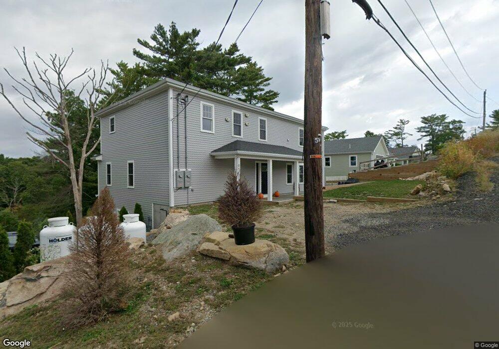
12 Massasoit Rd Gloucester, MA 01930
West Gloucester NeighborhoodEstimated Value: $315,000 - $676,000
4
Beds
2
Baths
1,148
Sq Ft
$432/Sq Ft
Est. Value
About This Home
This home is located at 12 Massasoit Rd, Gloucester, MA 01930 and is currently estimated at $495,500, approximately $431 per square foot. 12 Massasoit Rd is a home located in Essex County with nearby schools including West Parish, Ralph B O'maley Middle School, and Gloucester High School.
Ownership History
Date
Name
Owned For
Owner Type
Purchase Details
Closed on
Jul 22, 2024
Sold by
12 Massasoit Road Rt and Carrigan
Bought by
Lambert Alicia G and Lambert Steven R
Current Estimated Value
Purchase Details
Closed on
Nov 6, 2023
Sold by
James F Follis Ret and Follis
Bought by
12 Massasoit Road Rt and Carrigan
Purchase Details
Closed on
Jan 18, 2019
Sold by
Follis James F
Bought by
James F Follis Ret and Follis
Purchase Details
Closed on
Feb 1, 1971
Bought by
Follis James F
Create a Home Valuation Report for This Property
The Home Valuation Report is an in-depth analysis detailing your home's value as well as a comparison with similar homes in the area
Home Values in the Area
Average Home Value in this Area
Purchase History
| Date | Buyer | Sale Price | Title Company |
|---|---|---|---|
| Lambert Alicia G | -- | None Available | |
| Lambert Alicia G | -- | None Available | |
| 12 Massasoit Road Rt | $125,000 | None Available | |
| James F Follis Ret | -- | -- | |
| James F Follis Ret | -- | -- | |
| James F Follis Ret | -- | -- | |
| Follis James F | -- | -- |
Source: Public Records
Tax History
| Year | Tax Paid | Tax Assessment Tax Assessment Total Assessment is a certain percentage of the fair market value that is determined by local assessors to be the total taxable value of land and additions on the property. | Land | Improvement |
|---|---|---|---|---|
| 2025 | $1,667 | $171,500 | $171,500 | $0 |
| 2024 | $1,589 | $163,300 | $163,300 | $0 |
| 2023 | $3,398 | $320,900 | $145,800 | $175,100 |
| 2022 | $3,290 | $280,500 | $126,800 | $153,700 |
| 2021 | $3,178 | $255,500 | $115,300 | $140,200 |
| 2020 | $3,116 | $252,700 | $115,300 | $137,400 |
| 2019 | $2,991 | $235,700 | $115,300 | $120,400 |
| 2018 | $2,894 | $223,800 | $115,300 | $108,500 |
| 2017 | $2,807 | $212,800 | $109,800 | $103,000 |
| 2016 | $2,795 | $205,400 | $114,600 | $90,800 |
| 2015 | $2,712 | $198,700 | $114,600 | $84,100 |
Source: Public Records
Map
Nearby Homes
- 5 Samoset Rd Unit B
- 5 Lepage Ln
- 24 Cobblestone Ln Unit 603
- 145 Essex Ave Unit 512
- 145 Essex Ave Unit 402
- 18 Lyndale Ave
- 368 Essex Ave
- 5 Marshfield St
- 3 Rockland St
- 15 Harvard St
- 13 Leslie o Johnson Rd
- 6 Monroe Ct
- 20 Beacon St
- 20 Beacon St Unit 2
- 20 Beacon St Unit 1
- 120 Washington St
- 98 Maplewood Ave
- 13 Honeysuckle Rd
- 8 Mystic Ave
- 9 Cleveland Place
Your Personal Tour Guide
Ask me questions while you tour the home.