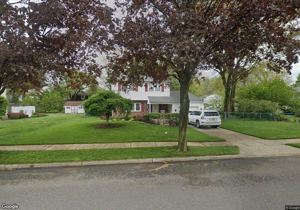
12 Mccay Dr Roebling, NJ 08554
Estimated Value: $453,603 - $534,000
Studio
--
Bath
1,885
Sq Ft
$262/Sq Ft
Est. Value
About This Home
This home is located at 12 Mccay Dr, Roebling, NJ 08554 and is currently estimated at $493,651, approximately $261 per square foot. 12 Mccay Dr is a home located in Burlington County with nearby schools including Riverfront Middle School, Number 5, Roebling Elementary School, and Florence Twp Mem High School.
Ownership History
Date
Name
Owned For
Owner Type
Purchase Details
Closed on
Apr 23, 2007
Sold by
Gallo Richard M and Gallo Barbara A
Bought by
Carey Timothy P and Carey Jill
Current Estimated Value
Home Financials for this Owner
Home Financials are based on the most recent Mortgage that was taken out on this home.
Original Mortgage
$323,000
Outstanding Balance
$195,938
Interest Rate
6.21%
Mortgage Type
New Conventional
Estimated Equity
$297,713
Purchase Details
Closed on
Jan 19, 1998
Sold by
Gallo Richard M and Gallo Barbara A
Bought by
Gallo Richard M and Gallo Barbara A
Create a Home Valuation Report for This Property
The Home Valuation Report is an in-depth analysis detailing your home's value as well as a comparison with similar homes in the area
Home Values in the Area
Average Home Value in this Area
Purchase History
We collect this data history from publicly available records. To have your information removed, we recommend requesting removal directly through your county’s website.
| Date | Buyer | Sale Price | Title Company |
|---|---|---|---|
| Carey Timothy P | $340,000 | Peoples Title Agency Inc | |
| Gallo Richard M | -- | -- |
Source: Public Records
Mortgage History
We collect this data history from publicly available records. To have your information removed, we recommend requesting removal directly through your county’s website.
| Date | Status | Borrower | Loan Amount |
|---|---|---|---|
| Open | Carey Timothy P | $323,000 |
Source: Public Records
Tax History
| Year | Tax Paid | Tax Assessment Tax Assessment Total Assessment is a certain percentage of the fair market value that is determined by local assessors to be the total taxable value of land and additions on the property. | Land | Improvement |
|---|---|---|---|---|
| 2025 | $8,472 | $304,000 | $96,000 | $208,000 |
| 2024 | $8,111 | $304,000 | $96,000 | $208,000 |
| 2023 | $8,111 | $304,000 | $96,000 | $208,000 |
| 2022 | $7,937 | $304,000 | $96,000 | $208,000 |
| 2021 | $7,868 | $304,000 | $96,000 | $208,000 |
| 2020 | $7,837 | $304,000 | $96,000 | $208,000 |
| 2019 | $7,767 | $304,000 | $96,000 | $208,000 |
| 2018 | $7,700 | $304,000 | $96,000 | $208,000 |
| 2017 | $7,606 | $304,000 | $96,000 | $208,000 |
| 2016 | $7,460 | $304,000 | $96,000 | $208,000 |
| 2015 | $7,308 | $304,000 | $96,000 | $208,000 |
| 2014 | $7,104 | $304,000 | $96,000 | $208,000 |
Source: Public Records
Map
Nearby Homes
- 827 Olive St
- 809 Olive St
- 460 Station Rd
- 3 Wyndam Place
- 7 Wyndam Place
- 44 5 Carriage Stop Place
- 437 E 5th St
- 2075 Route 130 N
- 402 Shaver Dr
- 38 3 Florence Tollgate Place
- 101 Main St
- 226 Birch Hollow Dr Unit 79
- 2068 Route 130
- 25 -7 Florence Tollgate Place
- 2 1 Florence Tollgate
- 215 Birch Hollow Dr Unit 262
- 384 E 3rd St
- 13 2 Florence Tollgate
- 27 Florence Tollgate Place
- 7 Florence Tollgate Place
Your Personal Tour Guide
Ask me questions while you tour the home.