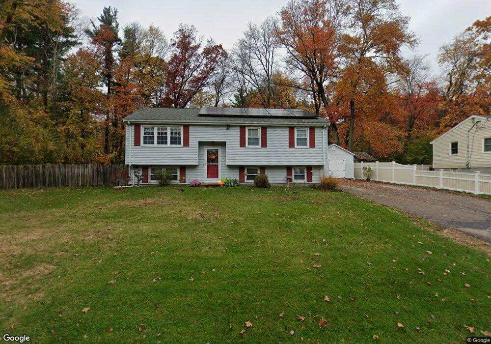
12 Meadow Rd Medway, MA 02053
Estimated Value: $544,114 - $657,000
3
Beds
2
Baths
1,028
Sq Ft
$591/Sq Ft
Est. Value
About This Home
This home is located at 12 Meadow Rd, Medway, MA 02053 and is currently estimated at $607,279, approximately $590 per square foot. 12 Meadow Rd is a home located in Norfolk County with nearby schools including John D. McGovern Elementary School, Burke-Memorial Elementary, and Medway Middle School.
Ownership History
Date
Name
Owned For
Owner Type
Purchase Details
Closed on
Mar 27, 1992
Sold by
Hartwell William J and Hartwell Diana C
Bought by
Cronin Kevin and Mcgarry Marion J
Current Estimated Value
Home Financials for this Owner
Home Financials are based on the most recent Mortgage that was taken out on this home.
Original Mortgage
$117,000
Interest Rate
8.66%
Mortgage Type
Purchase Money Mortgage
Create a Home Valuation Report for This Property
The Home Valuation Report is an in-depth analysis detailing your home's value as well as a comparison with similar homes in the area
Home Values in the Area
Average Home Value in this Area
Purchase History
| Date | Buyer | Sale Price | Title Company |
|---|---|---|---|
| Cronin Kevin | $147,000 | -- |
Source: Public Records
Mortgage History
| Date | Status | Borrower | Loan Amount |
|---|---|---|---|
| Open | Cronin Kevin | $20,000 | |
| Closed | Cronin Kevin | $109,600 | |
| Closed | Cronin Kevin | $117,000 | |
| Previous Owner | Cronin Kevin | $110,000 |
Source: Public Records
Tax History
| Year | Tax Paid | Tax Assessment Tax Assessment Total Assessment is a certain percentage of the fair market value that is determined by local assessors to be the total taxable value of land and additions on the property. | Land | Improvement |
|---|---|---|---|---|
| 2025 | $7,201 | $505,300 | $314,300 | $191,000 |
| 2024 | $7,276 | $505,300 | $314,300 | $191,000 |
| 2023 | $7,411 | $464,900 | $286,100 | $178,800 |
| 2022 | $6,340 | $374,500 | $211,500 | $163,000 |
| 2021 | $6,221 | $356,300 | $197,400 | $158,900 |
| 2020 | $5,710 | $326,300 | $177,300 | $149,000 |
| 2019 | $5,395 | $317,900 | $177,300 | $140,600 |
| 2018 | $5,471 | $309,800 | $169,200 | $140,600 |
| 2017 | $5,181 | $289,100 | $163,200 | $125,900 |
| 2016 | $5,125 | $283,000 | $157,100 | $125,900 |
| 2015 | $4,943 | $271,000 | $145,100 | $125,900 |
| 2014 | $4,768 | $253,100 | $145,100 | $108,000 |
Source: Public Records
Map
Nearby Homes
- 1 Heritage Dr
- 21 Cottage St
- 176 Main St Unit 3
- 50 Main St
- 9 Franklin St
- 40 Timber Crest Dr
- 26 Timber Crest Dr
- 20 Broad St Unit 3
- 20 Broad St Unit 1
- 20 Broad St Unit 5
- 3 Harmony Way Unit 3
- 37 North St
- 6 Sycamore Way
- 6 Freedom Trail
- 14 Sanford St Unit 61
- 371 Village St
- 38 Oakland St
- 394 Village St
- 154 Holly Ln
- 34 Betten Ct
Your Personal Tour Guide
Ask me questions while you tour the home.