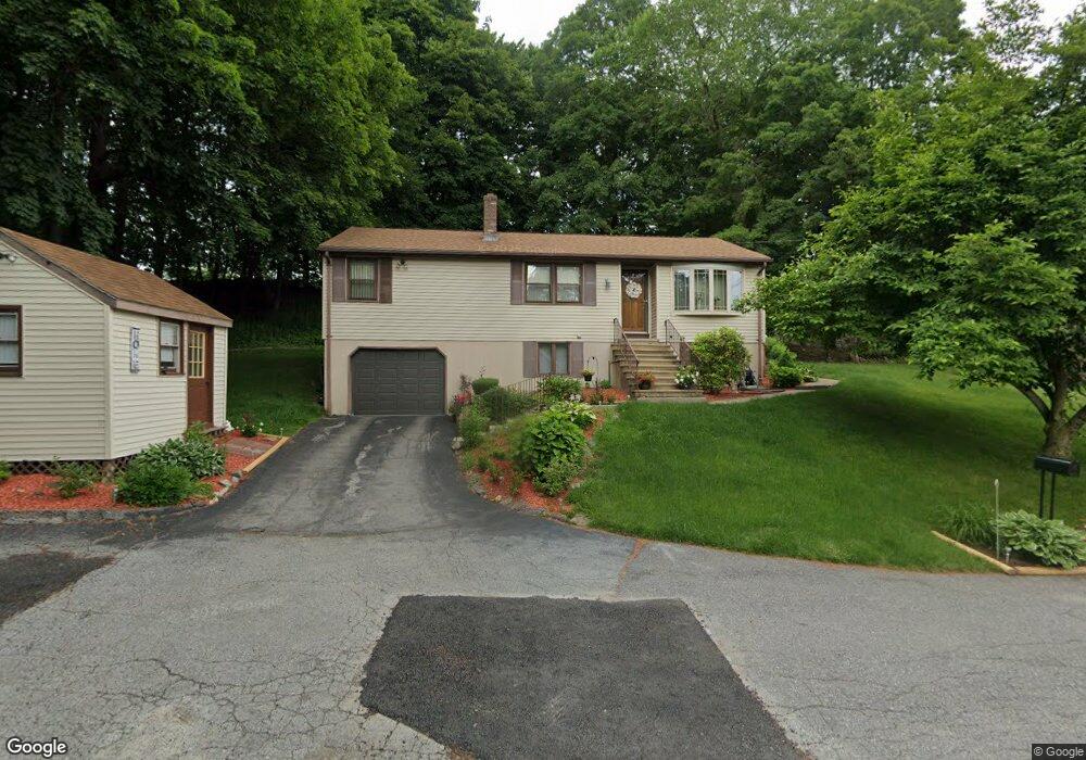
12 Minerva St Worcester, MA 01604
Broadmeadow Brook NeighborhoodEstimated Value: $426,000 - $512,000
3
Beds
3
Baths
1,056
Sq Ft
$447/Sq Ft
Est. Value
About This Home
This home is located at 12 Minerva St, Worcester, MA 01604 and is currently estimated at $471,684, approximately $446 per square foot. 12 Minerva St is a home located in Worcester County with nearby schools including Jacob Hiatt Magnet School, Chandler Magnet, and Rice Square Elementary School.
Create a Home Valuation Report for This Property
The Home Valuation Report is an in-depth analysis detailing your home's value as well as a comparison with similar homes in the area
Home Values in the Area
Average Home Value in this Area
Tax History
| Year | Tax Paid | Tax Assessment Tax Assessment Total Assessment is a certain percentage of the fair market value that is determined by local assessors to be the total taxable value of land and additions on the property. | Land | Improvement |
|---|---|---|---|---|
| 2025 | $5,037 | $381,850 | $118,850 | $263,000 |
| 2024 | $4,930 | $358,550 | $118,850 | $239,700 |
| 2023 | $4,769 | $332,548 | $103,248 | $229,300 |
| 2022 | $4,233 | $278,313 | $82,713 | $195,600 |
| 2021 | $4,086 | $250,993 | $66,193 | $184,800 |
| 2020 | $3,995 | $235,000 | $66,200 | $168,800 |
| 2019 | $3,755 | $208,600 | $59,500 | $149,100 |
| 2018 | $3,642 | $192,600 | $59,500 | $133,100 |
| 2017 | $3,702 | $192,600 | $59,500 | $133,100 |
| 2016 | $3,629 | $176,100 | $43,900 | $132,200 |
| 2015 | $3,534 | $176,100 | $43,900 | $132,200 |
| 2014 | $3,322 | $170,000 | $43,900 | $126,100 |
Source: Public Records
Map
Nearby Homes
- 32 Dolly Dr
- 31 Blithewood Ave Unit 701
- 31 Blithewood Ave Unit 1201
- 37 Dupuis Ave
- 259 Massasoit Rd
- 330 Sunderland Rd Unit 95
- 41 Westview Ave
- 1260 Grafton St
- 4 Ellen St
- 20 Duluth St
- 8 Alstead Path
- 27 A-B Grafton St
- 13 Pocasset St
- 23 Upton St
- 11 Park Hill Rd
- 19 Marion Ave
- 76 Valmor St
- 36C Gibbs St Unit 29
- 1 Brightwood Ave
- 7A Gibbs St Unit 4
Your Personal Tour Guide
Ask me questions while you tour the home.