12 Nimrod Farm Rd Weston, CT 06883
Estimated Value: $1,854,000 - $2,809,000
About This Home
This home is located at 12 Nimrod Farm Rd, Weston, CT 06883 and is currently estimated at $2,264,542, approximately $333 per square foot. 12 Nimrod Farm Rd is a home located in Fairfield County with nearby schools including Hurlbutt Elementary School, Weston Intermediate School, and Weston Middle School.
Ownership History
We collect this data history from publicly available records. To have your information removed, we recommend requesting removal directly through your county’s website.
Purchase Details
Purchase Details
Home Values in the Area
Average Home Value in this Area
Purchase History
We collect this data history from publicly available records. To have your information removed, we recommend requesting removal directly through your county’s website.
| Date | Buyer | Sale Price | Title Company |
|---|---|---|---|
| -- | -- | ||
| $1,725,000 | -- |
Mortgage History
We collect this data history from publicly available records. To have your information removed, we recommend requesting removal directly through your county’s website.
| Date | Status | Borrower | Loan Amount |
|---|---|---|---|
| Previous Owner | $359,650 | ||
| Previous Owner | $1,025,000 |
Tax History
We collect this data history from publicly available records. To have your information removed, we recommend requesting removal directly through your county’s website.
| Year | Tax Paid | Tax Assessment Tax Assessment Total Assessment is a certain percentage of the fair market value that is determined by local assessors to be the total taxable value of land and additions on the property. | Land | Improvement |
|---|---|---|---|---|
| 2025 | $29,025 | $1,214,430 | $245,420 | $969,010 |
| 2024 | $28,503 | $1,214,430 | $245,420 | $969,010 |
| 2023 | $27,360 | $827,580 | $245,420 | $582,160 |
| 2022 | $27,285 | $827,580 | $245,420 | $582,160 |
| 2021 | $27,244 | $827,580 | $245,420 | $582,160 |
| 2020 | $26,845 | $829,320 | $245,410 | $583,910 |
| 2019 | $26,845 | $829,320 | $245,410 | $583,910 |
| 2018 | $26,416 | $898,800 | $274,400 | $624,400 |
| 2017 | $25,984 | $898,800 | $274,400 | $624,400 |
| 2016 | $25,670 | $898,800 | $274,400 | $624,400 |
| 2015 | $25,769 | $898,800 | $274,400 | $624,400 |
| 2014 | $25,382 | $898,800 | $274,400 | $624,400 |
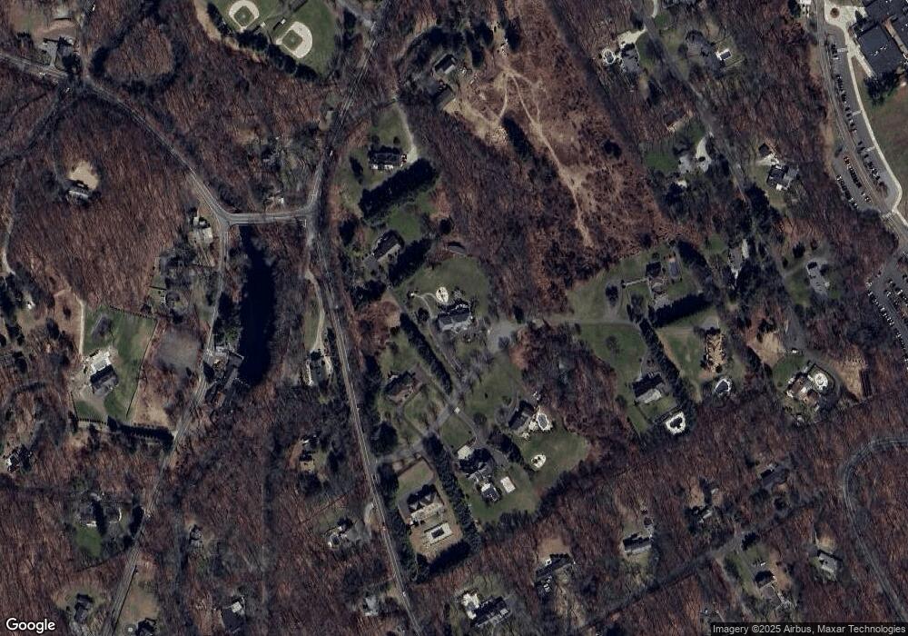
Map
- 159 Newtown Turnpike
- 48 Old Mill Rd
- 6 Adams Way
- 24 N Calvin Rd
- 3 Hedgerow Common
- 50 Calvin Rd
- 14 White Oak Ln
- 0 Cobbs Mill Rd
- 8 Norfield Woods Rd
- 137 Sturges Ridge Rd
- 32 Steep Hill Rd
- 75 Norfield Rd
- 119 Kettle Creek Rd
- 76 Lords Hwy
- 59 September Ln
- 34 Laurel Lake W
- 26 Glory Rd
- 4 Marshall Ln
- 115 Pine Ridge Rd
- 12 Brandon Cir
- 4 Nimrod Farm Rd
- 8 Nimrod Farm Rd
- 11 Nimrod Farm Rd
- 7 Nimrod Farm Rd
- 1 Nimrod Farm Rd
- 138 Newtown Turnpike
- 15 Nimrod Farm Rd
- 14 Nimrod Farm Rd
- 252 Weston Rd
- 1 Waterbury St
- 7 Waterbury St
- 412 Georgetown Rd
- 248 Weston Rd
- 130 Newtown Turnpike
- 5 Old Mill Rd
- 17 Nimrod Farm Rd
- 8 Wood Hill Rd
- 1 Old Mill Rd
- 12 Old Mill Rd
- 23 Tobacco Rd
Ask me questions while you tour the home.