12 Pear Tree Dr Skillman, NJ 08558
Estimated Value: $1,399,000 - $1,526,657
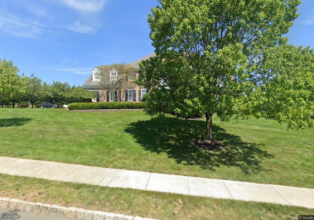
About This Home
This home is located at 12 Pear Tree Dr, Skillman, NJ 08558 and is currently estimated at $1,461,664, approximately $390 per square foot. 12 Pear Tree Dr is a home located in Somerset County with nearby schools including Orchard Hill Elementary School, Village Elementary School, and Montgomery Lower Mid School.
Ownership History
We collect this data history from publicly available records. To have your information removed, we recommend requesting removal directly through your county’s website.
Purchase Details
Home Financials for this Owner
Home Financials are based on the most recent Mortgage that was taken out on this home.Home Values in the Area
Average Home Value in this Area
Purchase History
We collect this data history from publicly available records. To have your information removed, we recommend requesting removal directly through your county’s website.
| Date | Buyer | Sale Price | Title Company |
|---|---|---|---|
| $749,900 | -- |
Mortgage History
We collect this data history from publicly available records. To have your information removed, we recommend requesting removal directly through your county’s website.
| Date | Status | Borrower | Loan Amount |
|---|---|---|---|
| Open | $500,000 |
Tax History
We collect this data history from publicly available records. To have your information removed, we recommend requesting removal directly through your county’s website.
| Year | Tax Paid | Tax Assessment Tax Assessment Total Assessment is a certain percentage of the fair market value that is determined by local assessors to be the total taxable value of land and additions on the property. | Land | Improvement |
|---|---|---|---|---|
| 2025 | $25,964 | $757,400 | $265,600 | $491,800 |
| 2024 | $25,964 | $757,400 | $265,600 | $491,800 |
| 2023 | $25,926 | $757,400 | $265,600 | $491,800 |
| 2022 | $24,411 | $757,400 | $265,600 | $491,800 |
| 2021 | $24,199 | $757,400 | $265,600 | $491,800 |
| 2020 | $23,994 | $757,400 | $265,600 | $491,800 |
| 2019 | $23,828 | $757,400 | $265,600 | $491,800 |
| 2018 | $23,267 | $757,400 | $265,600 | $491,800 |
| 2017 | $22,911 | $757,400 | $265,600 | $491,800 |
| 2016 | $22,510 | $757,400 | $265,600 | $491,800 |
| 2015 | $22,010 | $757,400 | $265,600 | $491,800 |
| 2014 | $21,745 | $757,400 | $265,600 | $491,800 |
Map
- 59 A Spring Hill Rd
- 59 E Spring Hill
- 59 B Spring Hill
- 29 Bedens Brook Rd
- 266 Province Line Rd
- 266 Province Line Rd
- 122 Bedens Brook Rd
- 246 Spring Hill Rd
- 117 Hopewell Rocky Hill Rd
- 143 Van Zandt Rd
- 47 Van Zandt Rd
- 176 Rolling Hill Rd
- 42 Stouts Rd
- 56 High Ridge Rd
- 235 Hopewell Amwell Rd
- 45 Camp Meeting Ave
- 67 Columbia Ave
- 206 Van Zandt Rd
- 5 Pauma Valley Ct
- 48 Fairview Rd
- 22 Pear Tree Dr
- 3 Moores Grove Ct
- 48 Georgetown Franklin T
- 8 Moores Grove Ct
- 28 Pear Tree Dr
- 60 Route 518
- 18 Moores Grove Ct
- 7 Moores Grove Ct
- 11 Moores Grove Ct
- 000 Spring Hill Rd
- 34 Pear Tree Dr
- 24 Moores Grove Ct
- 0 Spring Hill Rd Unit 5778575
- 17 Moores Grove Ct
- 403 Province Line Rd
- 395 Province Line Rd
- 411 Province Line Rd
- 30 Moores Grove Ct
- 71 Planters Row
- 25 Moores Grove Ct
Ask me questions while you tour the home.