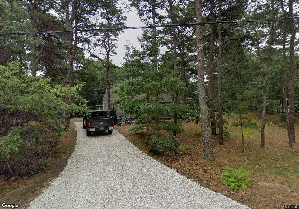
12 Pilgrim Ln Eastham, MA 02642
Estimated Value: $533,000 - $631,000
3
Beds
1
Bath
768
Sq Ft
$749/Sq Ft
Est. Value
About This Home
This home is located at 12 Pilgrim Ln, Eastham, MA 02642 and is currently estimated at $575,314, approximately $749 per square foot. 12 Pilgrim Ln is a home located in Barnstable County with nearby schools including Eastham Elementary School, Nauset Regional Middle School, and Nauset Regional High School.
Ownership History
Date
Name
Owned For
Owner Type
Purchase Details
Closed on
Sep 19, 2024
Sold by
Lambert Ft and Lambert
Bought by
Lambert Andrew R and Lambert Michael
Current Estimated Value
Purchase Details
Closed on
Sep 9, 2024
Sold by
Grant Janice E
Bought by
Lambert Andrew R and Lambert Michael
Purchase Details
Closed on
Jun 1, 2024
Sold by
Lambert Cynthia G Est and Lambert
Bought by
Lambert Ft and Lambert
Purchase Details
Closed on
Oct 25, 2006
Sold by
Grant Evelyn H
Bought by
Peplau Charlyne G and Lambert Cynthia G
Create a Home Valuation Report for This Property
The Home Valuation Report is an in-depth analysis detailing your home's value as well as a comparison with similar homes in the area
Home Values in the Area
Average Home Value in this Area
Purchase History
| Date | Buyer | Sale Price | Title Company |
|---|---|---|---|
| Lambert Andrew R | -- | None Available | |
| Lambert Andrew R | -- | None Available | |
| Lambert Andrew R | -- | None Available | |
| Lambert Andrew R | -- | None Available | |
| Lambert Ft | -- | None Available | |
| Lambert Ft | -- | None Available | |
| Peplau Charlyne G | -- | -- | |
| Peplau Charlyne G | -- | -- |
Source: Public Records
Tax History
| Year | Tax Paid | Tax Assessment Tax Assessment Total Assessment is a certain percentage of the fair market value that is determined by local assessors to be the total taxable value of land and additions on the property. | Land | Improvement |
|---|---|---|---|---|
| 2025 | $3,744 | $485,600 | $265,900 | $219,700 |
| 2024 | $3,305 | $471,500 | $258,200 | $213,300 |
| 2023 | $3,075 | $424,700 | $239,000 | $185,700 |
| 2022 | $2,973 | $346,500 | $213,400 | $133,100 |
| 2021 | $2,891 | $314,900 | $194,000 | $120,900 |
| 2020 | $2,712 | $311,000 | $198,000 | $113,000 |
| 2019 | $2,492 | $302,000 | $192,200 | $109,800 |
| 2018 | $2,568 | $307,500 | $186,700 | $120,800 |
| 2017 | $2,395 | $303,200 | $183,000 | $120,200 |
| 2016 | $2,253 | $302,800 | $183,000 | $119,800 |
| 2015 | $2,111 | $297,300 | $179,400 | $117,900 |
Source: Public Records
Map
Nearby Homes
- 655 Herring Brook Rd
- 10 Cartway N
- 330 Hay Rd
- 20 Stone Ct
- 1061 State Hwy Unit 4
- 1061 State Hwy Unit 1061
- 1975 State Hwy Unit 9
- 704 State Hwy
- 25 Twin Rocks Dr
- 20 Kittiwake Ln
- 40 Bayview Rd
- 60 Smith Heights Way
- 320 State Hwy
- 59 Bridge Rd
- 480 Dyer Prince Rd
- 339 Dyer Prince Rd
- 21 Locust Rd Unit 21
- 181 Rock Harbor Rd
- 46 Freeman Ln
- 6 Penny Ln
Your Personal Tour Guide
Ask me questions while you tour the home.