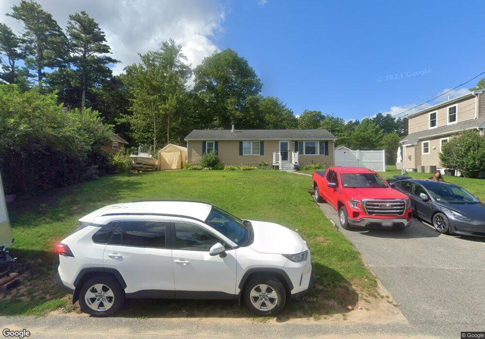
12 River Rd Marion, MA 02738
Estimated Value: $476,664 - $578,000
3
Beds
2
Baths
1,152
Sq Ft
$449/Sq Ft
Est. Value
About This Home
This home is located at 12 River Rd, Marion, MA 02738 and is currently estimated at $516,916, approximately $448 per square foot. 12 River Rd is a home located in Plymouth County with nearby schools including Old Rochester Regional High School and Tabor Academy.
Ownership History
Date
Name
Owned For
Owner Type
Purchase Details
Closed on
Jan 25, 2016
Sold by
Renaud Matthew D
Bought by
Renaud Matthew D and Renaud Shauna L
Current Estimated Value
Purchase Details
Closed on
Dec 23, 2008
Sold by
E & M Martin Nt
Bought by
Renaud Matthew D
Home Financials for this Owner
Home Financials are based on the most recent Mortgage that was taken out on this home.
Original Mortgage
$222,069
Interest Rate
6.27%
Mortgage Type
Purchase Money Mortgage
Create a Home Valuation Report for This Property
The Home Valuation Report is an in-depth analysis detailing your home's value as well as a comparison with similar homes in the area
Purchase History
| Date | Buyer | Sale Price | Title Company |
|---|---|---|---|
| Renaud Matthew D | -- | -- | |
| Renaud Matthew D | $225,000 | -- |
Source: Public Records
Mortgage History
| Date | Status | Borrower | Loan Amount |
|---|---|---|---|
| Previous Owner | Renaud Matthew D | $225,361 | |
| Previous Owner | Renaud Matthew D | $222,031 | |
| Previous Owner | Renaud Matthew D | $222,069 | |
| Previous Owner | Renaud Matthew D | $83,500 |
Source: Public Records
Tax History
| Year | Tax Paid | Tax Assessment Tax Assessment Total Assessment is a certain percentage of the fair market value that is determined by local assessors to be the total taxable value of land and additions on the property. | Land | Improvement |
|---|---|---|---|---|
| 2025 | $3,870 | $415,186 | $195,486 | $219,700 |
| 2024 | $3,650 | $394,151 | $171,051 | $223,100 |
| 2023 | $4,238 | $448,958 | $244,358 | $204,600 |
| 2022 | $3,457 | $318,619 | $138,619 | $180,000 |
| 2021 | $3,127 | $276,220 | $110,320 | $165,900 |
| 2020 | $3,150 | $269,200 | $110,300 | $158,900 |
| 2019 | $2,873 | $260,500 | $110,300 | $150,200 |
| 2018 | $0 | $237,500 | $105,100 | $132,400 |
| 2017 | $2,613 | $229,000 | $105,100 | $123,900 |
| 2016 | $2,628 | $232,400 | $105,100 | $127,300 |
| 2015 | $2,335 | $210,200 | $100,100 | $110,100 |
Source: Public Records
Map
Nearby Homes
- 21 River Rd
- 34 Pine Hill Ln
- 37 Lincoln Hwy
- 12 Taft St
- 55 Bullivant Farm Rd
- 26 Washington Dr
- 10 3rd Ave
- 44 Stoney Run Ln
- 31 Stoney Run Ln
- 492 Delano Rd
- 245 Wareham Rd
- 12 Parker Dr
- 4 Blackhall Ct
- 9 Deer Run
- 127 County Rd
- 3 Bass Point Rd
- 16 Bass Point Rd
- 1 Barnes St
- 0 Cross Neck Rd Unit 73420524
- 0 Cross Neck Rd Unit 73466177
Your Personal Tour Guide
Ask me questions while you tour the home.