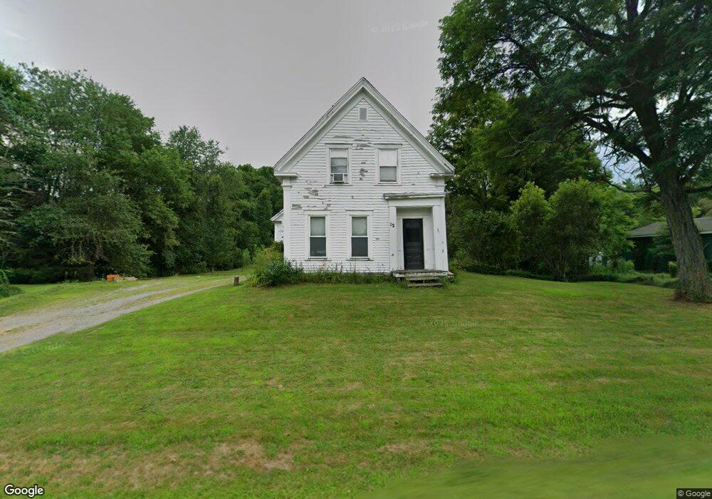
12 W Waldo Rd Belfast, ME 04915
Estimated Value: $242,000 - $349,000
3
Beds
1
Bath
601
Sq Ft
$465/Sq Ft
Est. Value
About This Home
This home is located at 12 W Waldo Rd, Belfast, ME 04915 and is currently estimated at $279,605, approximately $465 per square foot. 12 W Waldo Rd is a home located in Waldo County with nearby schools including Cornerspring Children's House and The School At Sweetser - Belfast.
Ownership History
Date
Name
Owned For
Owner Type
Purchase Details
Closed on
Sep 21, 2005
Sold by
Bryant Blaine J and Bryant Susan M
Bought by
Hesch Zachary J and Engstrom Bethany R
Current Estimated Value
Home Financials for this Owner
Home Financials are based on the most recent Mortgage that was taken out on this home.
Original Mortgage
$126,400
Outstanding Balance
$66,667
Interest Rate
5.92%
Mortgage Type
Commercial
Estimated Equity
$212,938
Create a Home Valuation Report for This Property
The Home Valuation Report is an in-depth analysis detailing your home's value as well as a comparison with similar homes in the area
Home Values in the Area
Average Home Value in this Area
Purchase History
We collect this data history from publicly available records. To have your information removed, we recommend requesting removal directly through your county’s website.
| Date | Buyer | Sale Price | Title Company |
|---|---|---|---|
| Hesch Zachary J | -- | -- |
Source: Public Records
Mortgage History
We collect this data history from publicly available records. To have your information removed, we recommend requesting removal directly through your county’s website.
| Date | Status | Borrower | Loan Amount |
|---|---|---|---|
| Open | Hesch Zachary J | $126,400 |
Source: Public Records
Tax History
| Year | Tax Paid | Tax Assessment Tax Assessment Total Assessment is a certain percentage of the fair market value that is determined by local assessors to be the total taxable value of land and additions on the property. | Land | Improvement |
|---|---|---|---|---|
| 2025 | $3,855 | $235,900 | $61,500 | $174,400 |
| 2024 | $3,633 | $235,900 | $61,500 | $174,400 |
| 2023 | $3,206 | $159,500 | $42,200 | $117,300 |
| 2022 | $3,304 | $154,400 | $42,200 | $112,200 |
| 2021 | $3,274 | $148,800 | $42,200 | $106,600 |
| 2020 | $3,267 | $140,200 | $42,200 | $98,000 |
| 2019 | $3,176 | $138,700 | $42,200 | $96,500 |
| 2018 | $2,695 | $138,700 | $42,200 | $96,500 |
| 2017 | $3,038 | $138,700 | $42,200 | $96,500 |
| 2016 | $2,853 | $124,600 | $21,600 | $103,000 |
| 2015 | $2,791 | $124,600 | $21,600 | $103,000 |
| 2014 | $2,698 | $124,600 | $21,600 | $103,000 |
| 2013 | $2,592 | $124,600 | $21,600 | $103,000 |
Source: Public Records
Map
Nearby Homes
- 050-C-1 W Waldo Rd
- 99 Waterville Rd
- 60 Doak Rd
- 130 Moosehead Trail Hwy
- 83 Marsh Rd
- 86 Oak Hill Rd
- 00 Harriman Rd
- 120 Shepard Rd
- 3 Waterville Rd
- 1 Waterville Rd
- 128 Shepard Rd
- 40 Lakeside Dr
- 4 Kaler Rd
- 000 Merriam Rd
- 190 Waldo Ave
- 20 Springbrook Dr Unit TH-6
- 0 Robbins Rd Unit 1634953
- 0 Patterson Hill Rd Unit Lot 2
- 162 Waldo Ave
- 347 High St
- 9 W Waldo Rd
- 16 W Waldo Rd
- 15 W Waldo Rd
- 4 W Waldo Rd
- 5 W Waldo Rd
- 5 W Waldo Rd
- 42 Head of the Tide Rd
- 27 W Waldo Rd
- 8 W Waldo Rd
- 21 W Waldo Rd
- 40 Homestead Close
- 38 Head of the Tide Rd
- 46 Head of the Tide Rd
- 24 W Waldo Rd
- 39 Homestead Close
- 38 Homestead Close
- 34 Head of the Tide Rd
- 35 Head of the Tide Rd
- 30 Head of the Tide Rd
- 30 Head of Tide
Your Personal Tour Guide
Ask me questions while you tour the home.